|
Getting your Trinity Audio player ready...
|
Winter in Colorado is complex and long. To make the most of the season, it helps to understand the hazards and outdoor opportunities present in the Front Range, which experiences winter weather differently than other parts of the state. This guide will focus on both the urban corridor and easternmost mountain ranges of the Front Range.
Overview
Winter in Colorado is an extremely dynamic, complex, and long season. Summer, Spring, and Fall are all beautiful and different but often abbreviated and largely dictated by snow. You can’t get into a snow-free alpine until mid-July, and mountain snowfall winds back up in October. Unless you plan on hibernating for nearly half the year, it helps to understand winter, the hazards, and the outdoor opportunities it represents.
This guide will center on the Front Range, including both the urban corridor and the eastern mountain ranges in Colorado. As the most heavily populated area in the state, it is often the first-place newcomers and visitors encounter winter conditions. However, the Front Range has a unique experience with winter weather compared to other regions like the western slope. Therefore, we will delve deeper into understanding its distinct climate so you can fully appreciate all that the Front Range has to offer during the colder months.
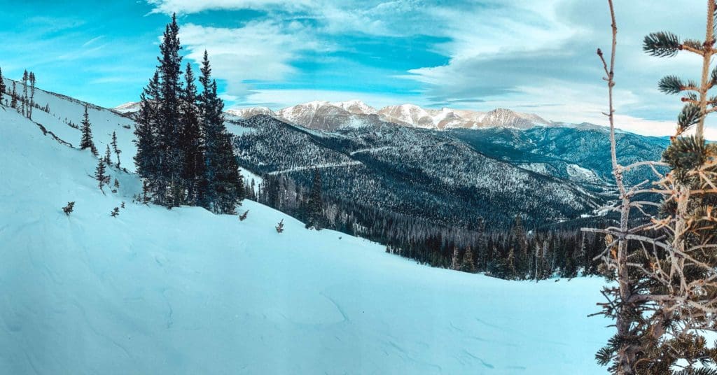
Hidden Valley Backcountry Ski Area in Rocky Mountain National Park.
Table of Contents:
Article Navigation: Click on any of the listed items in the table of contents below to jump to that section of the article. Similarly, clicking on any large, white section header will jump you back to the Table of Contents.
- Overview
- Front Range Urban Corridor vs. the Front Range of the Rocky Mountains
- Front Range Basic Winter Preparation Guide
- Advanced Winter Preparation
- The Highway Factor
- Reliable Weather Reports
- Must Visit Areas
- General Winter Activities
- Advanced Winter Activities
- Conclusion
The Front Range Urban Corridor vs. The Front Range of the Rocky Mountains
The term “Front Range” can seem a little vague at first. From a geographic perspective, the Front Range consists of the easternmost ranges of the Rocky Mountains. This relatively unbroken mountain line runs from roughly the Wet Mountains in south-central Colorado north to the Wyoming Border. South of the Wet Mountains, the Sangre De Cristo Range takes over and runs into New Mexico. The Sangres are along the same eastern axis as much of the Front Range but are generally considered both geographically and geologically different.
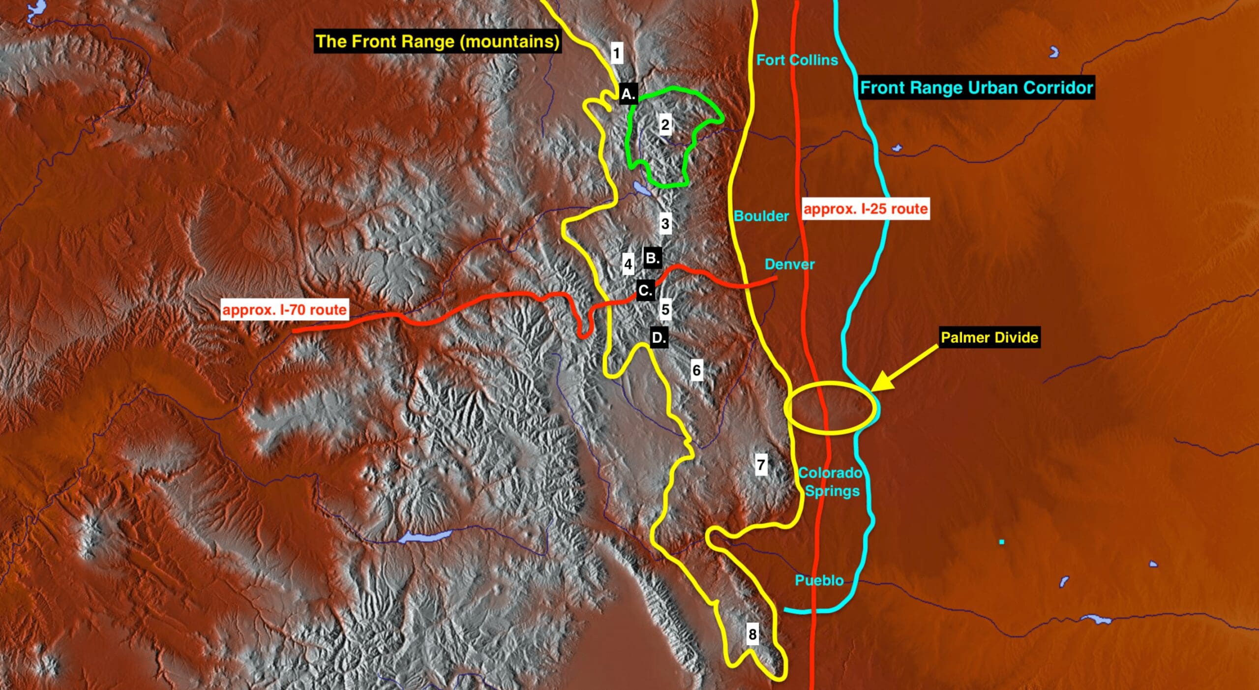
Map of the Front Range urban corridor area, read on to discover what the numbers and letters represent.
The Front Range contains some of the more popular mountainous areas in the state. Medicine Bow Range (1), Rocky Mountain National Park (2), Indian Peaks/James Peak wilderness (3), Vasquez/Byers Pk. wildernesses (4), Mt. Evans/Grays and Torreys (5), Lost Creek Wilderness (6), Pikes Peak (7), and the Wet Mountains (8). Within these areas are some of the most accessible big mountain passes like Cameron Pass (A.), Berthoud Pass (B.), Loveland Pass (C.), and Kenosha Pass (D.). The ski resorts of Eldora, Echo, Winter Park, Loveland, Arapahoe Basin, and Keystone also call the Front Range home. Between all these areas, you have a lifetime’s worth of outdoor exploration at your fingertips.
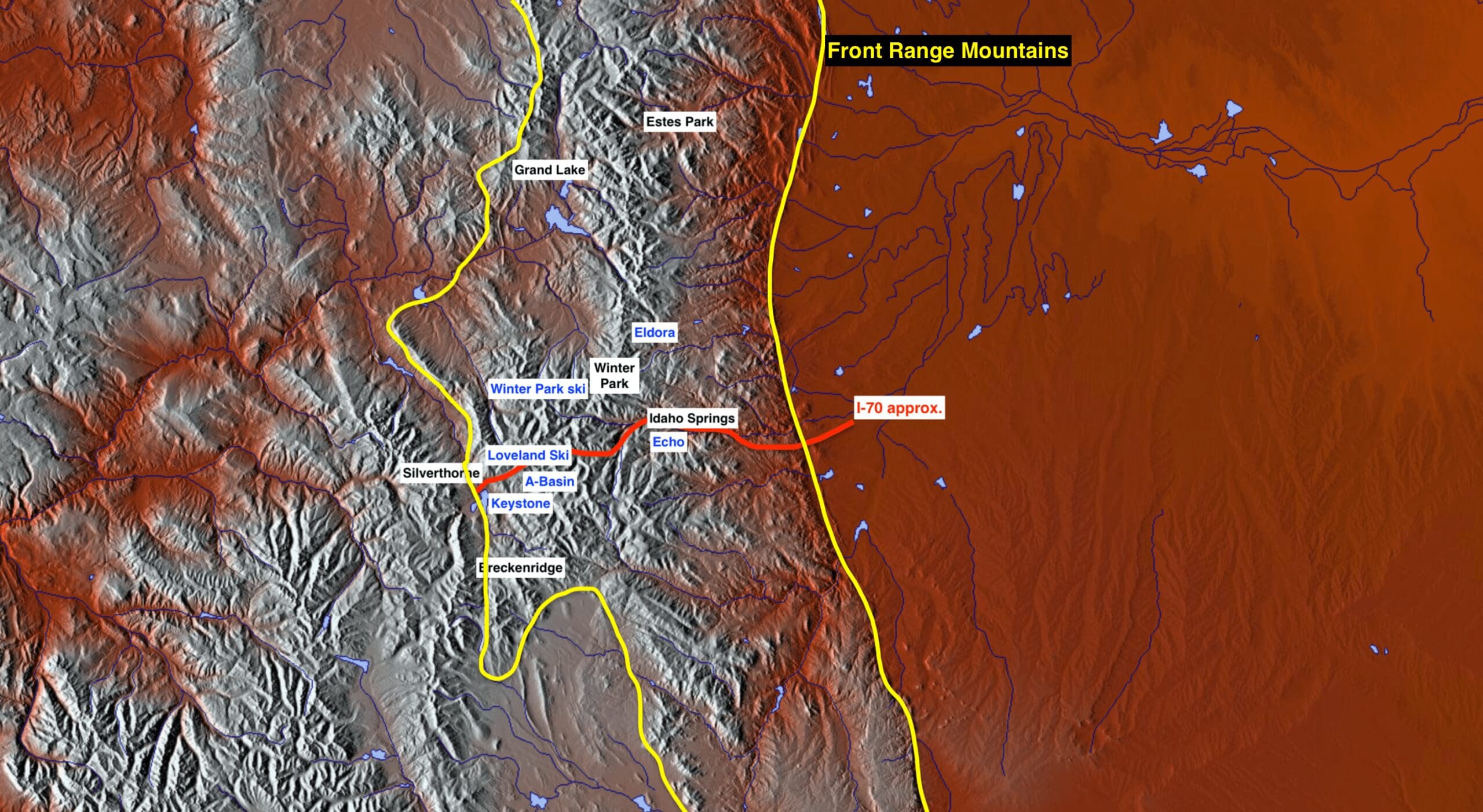
Similar map, slightly zoomed in with mountain towns (black lettering) and resorts (blue lettering) labeled.
The Front Range Urban Corridor exists just to the east of the Front Range. This urban corridor largely follows the trajectory of I-25. Pueblo, Colorado Springs, Denver, Boulder, and Fort Collins are all cities in the urban corridor. Technically, these cities are in the high plains, with stellar views of the mountains to the west and the endless expanse of the Great Plains to the east. Combined, both the Front Range Urban Corridor and Front Range mountains make up a large swathe of Colorado.
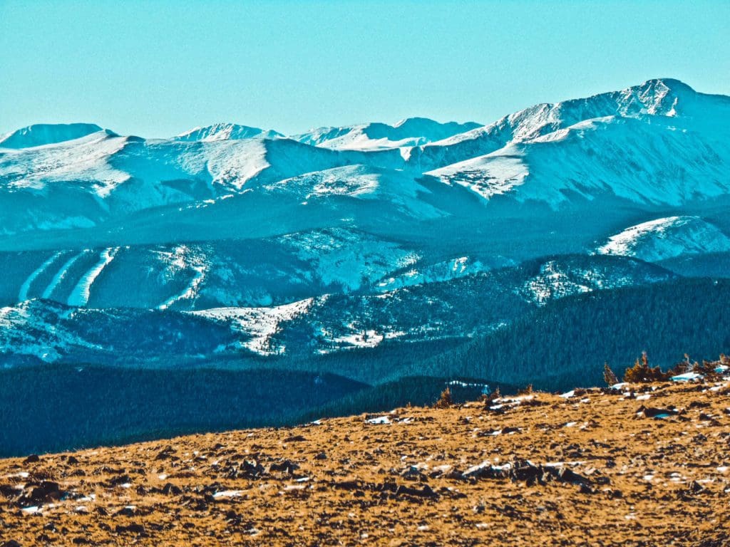
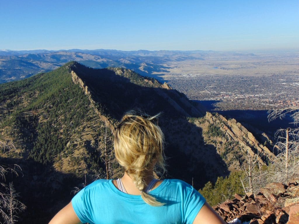
Looking at James Peak and the edge of Eldora ski resort to the left.
Front Range Basic Winter Preparation Guide
Understanding a Front Range winter means understanding how snow and weather affect this part of the state. Take a look at the points below to better prepare yourself for winter.
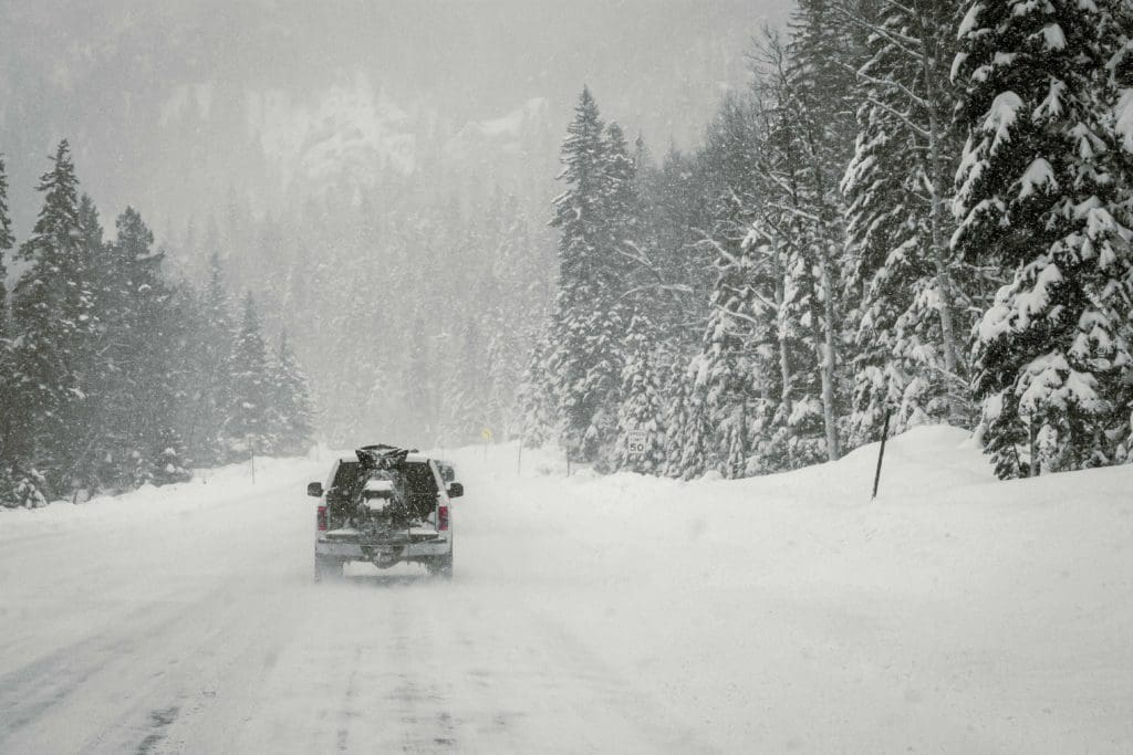
White truck hauling a snowmobile in a Colorado blizzard.
- Wind: Winter wind can brutalize the Front Range. Understanding Front Range weather means understanding how wind affects (and often brutalizes) this part of the state. It is not uncommon to have 50-100+ MPH winds on ridgelines. Make it a point to check wind forecasts before adventuring anywhere. For comparison, a 75-mph wind is the equivalent of a category one hurricane.
- Elevation: The average elevation of Front Range cities is around 5,000 feet. The mountains get up to over 14,000 ft., make sure you understand what altitude sickness looks like and how to respond to it.
- Dry Climate: Despite the hundreds of inches of snowfall each winter, the Front Range is in a semi-arid climate. Bring chapstick, lots of water, and lotion if you’re not used to this kind of climate, which has no east coast equivalent.
- Driving: Despite the consistent snow received every year, even in the metro areas, many Front Range drivers do not know how to drive in the snow. Always practice defensive driving, go slow in inclement weather, make sure your fog lights are working (they work MUCH better in snow than brights), and get winter tires. Three-season tires are often not good enough.
- Driving Part 2: If you live and drive in Colorado, at some point, your windshield will get a rock. Research the best windshield repair/replacement. It’s very uncommon to drive around for multiple winters without cracking your windshield.
- Driving Part 3: Keep a snowscraper or windshield snow cover in your car, along with a set of gloves, hand warmers, and an extra beanie. On cold mornings, it’ll take a long time for your windshield to heat up enough to melt ice buildup, which could delay everything from outdoor adventures to showing up to work on time.
- Emergency medical kit: better to have and not need than need and not have. A car medical kit, and a complete one with hundreds of items like the MyMedic MYFAK, is never a bad thing to have in your car.
- Chain law: See the I-70 & I-25 section below for more details. Simply put, you need either an all-wheel drive vehicle, a 4-wheel drive vehicle, snow tires, or chains to drive through the winter on I-70 without collecting hefty fines.
- Road quality: Mountains are harsh environments, and the constant push and pull of high and low temperatures causes asphalt and pavement to expand and contract. A full winter of this leaves roads beat up, cracked, and full of potholes. Despite a valiant effort every year from CDOT to get roads up and running, anticipate rough road surfaces in the mountains and on well-traveled roads in the urban corridor.
- Sun: Colorado gets a decent number of storms, but it is uncommon to have more than a few days of gray winter weather without the sun showing up. Put on sunscreen and wear thick sunglasses to prevent sun glare, which can affect your vision. You can still get plenty of skin damage in January.
- Weather will change: Forecasting has come a long way, but nature still does what it wants. Make it a habit to check the weather forecast every day to make sure a predicted storm hasn’t shifted track or timing.
- Bring layers: Whatever you end up doing, always bring layers. Colorado temperatures can fluctuate 30-40 degrees in a single day. The best strategy is to bring layers so you can pile them on when the temperature drops.
- The Ten Essentials: Good for any situation; make sure you have these before heading out on any adventure!
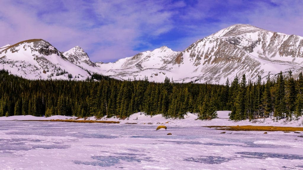
A frozen Brainard Lake with the Indian Peaks looking on.
Advanced Winter Preparation
The basic preparation above can have you zipping around to local trailheads without much issue, but if you plan on tackling more serious winter adventures, additional prep has to make it into your thinking. Check out these advanced points if you’re planning to get out into the Front Range mountains this winter.
- Ski/ride lessons: Skiing and riding are tickets to freedom, but there are pronounced consequences if you are found to have caused injury to others on the slopes. Get ski or ride lessons, at least until you can safely stop, slow down, turn and avoid obstacles.
- Ski Passes: The ski industry has turned increasingly toward mega passes that work at multiple resorts. These passes are cheapest from the Spring through early Fall before the prices rocket up. If you plan on getting an Epic, Ikon, or Mountain Collective Season pass, get them early. If the mega passes don’t interest you, check out smaller resorts like Loveland, A-Basin, and Echo, who often have great last-minute deals.
- Advanced Medical Training: Winter hiking, backpacking, skiing (resort, backcountry, or cross-country), and snowshoeing are wonderful activities that can take you through dangerous areas. At a minimum, you should have First Aid/CPR training; a better long-term strategy is to opt for a WFR (Wilderness First Responder) or WEMT (Wilderness Emergency Medical Training).
- Snow skills courses: Between Outward Bound, NOLS, evoTrip, 57 Hours, and tons of other outdoor education organizations, there are plenty of ways to safely learn critical winter skills like self-arresting, how to use crampons/microspikes, and learning to read the terrain to avoid traveling through needlessly dangerous areas.
- CAIC: For backcountry-oriented individuals, Colorado is blessed with CAIC reports. The Colorado Avalanche Information Center (CAIC) provides critical zone forecasts that highlight avalanche potential in certain areas and what to look out for. ALWAYS CHECK CAIC BEFORE HEADING OUT. It’s a free resource, and we are very lucky to have them.
- Avalanche certifications: Avalanches are terrifying, and people die in them almost every year in Colorado. If you want to check all the safety boxes, whether it’s for backcountry skiing or simply snowshoeing in mountainous terrain, getting an avalanche certification can help you start to recognize outdoor hazards and avoid them.
- The right gear: it’s no secret that quality outdoor gear is expensive, however, a lot of it is worth the price. Armor up with the right gear for your chosen adventure.
- Access: Snow limits access. There are roads that are constantly plowed (highways, state routes etc.), so their access to outdoor adventure is likely the easiest. However, some areas employ winter gates, which can increase the mileage of an adventure by a substantial amount. If you see a trailhead you like, make sure you can access it via regularly plowed roads or, if there is a winter gate, see how much it adds to the overall adventure before committing.
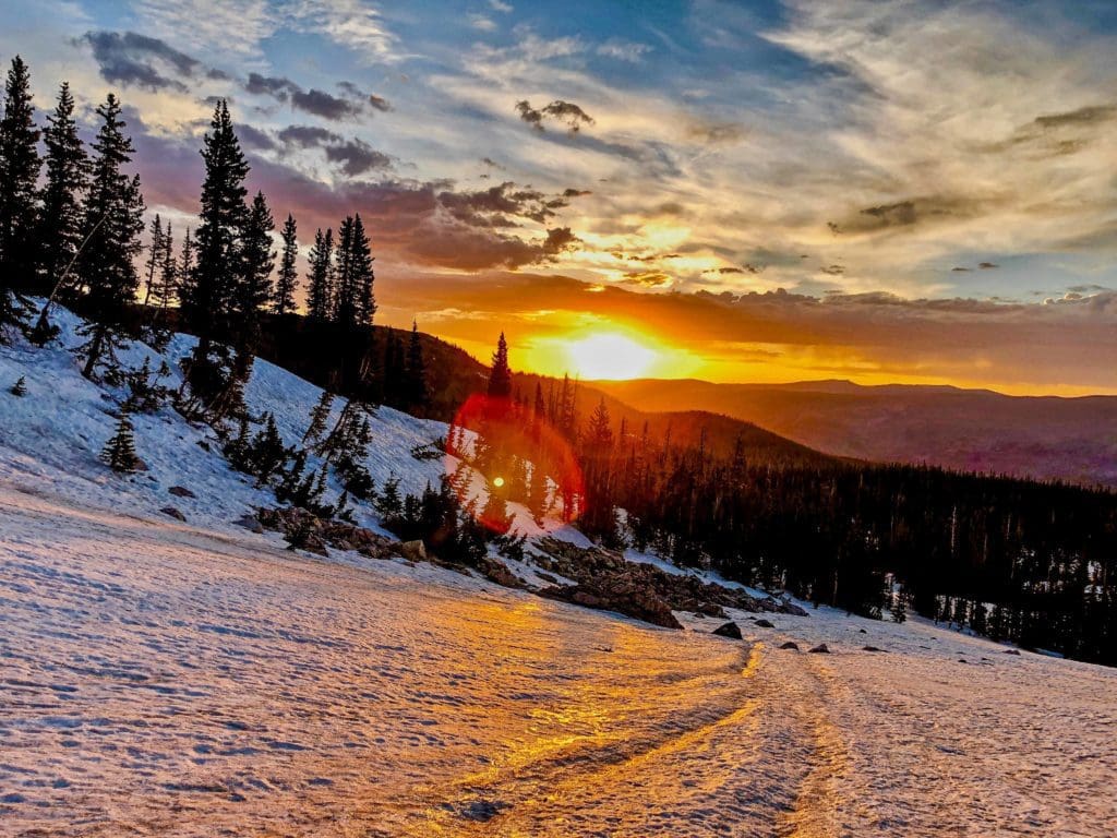
Late winter sunrise in northern Colorado.
The Highway Factor
There are several larger roads in Colorado, but none more consequential to outdoor adventure in the Front Range than I-70 and I-25.
I-70 is the primary east-west highway in Colorado; it runs through Denver, the Front Range, and large parts of the western slope before heading into Utah. It is the main winter artery for people trying to escape to one of the 11 resorts most easily accessed from it. I-25 is the main urban corridor artery and will play a large role in determining how long it takes you to escape the cities.
Interstate 25 (I-25) near Denver, Colorado.
I-25
Let’s tackle I-25 first. This road hits nearly all of the biggest towns and cities in Colorado. It is beset by rush hours and nearly constant construction. If any part of your commute involves this stretch of road, make sure it’s early or late enough to avoid the rush hours. Rush hour traffic is the worst in Denver, Colorado Springs, and the stretch of road between them (including Castle Rock). There are also regular slowdowns to the north between the northern Denver suburbs and Fort Collins.
Geographically there are a few things to keep in mind with I-25. It is farther east than the foothills, which means there’s not a lot to block the wind. There are sections of this highway, like around Pueblo and north towards Fort Collins, that experience strong straight-line gusts. These winds can make driving challenging. The driving gets even harder if that wind occurs in snow and whiteout conditions. I-25 can be exceptionally dangerous in blizzard conditions.
The other big geographic quirk is the Palmer Divide. This uplift area separates the Arkansas River watershed (Colorado Springs/Pueblo) from the North Platte Watershed (Denver/Boulder/Fort Collins). The Palmer Divide gets up to over 7,000 feet, which means it can be snowing up there when it’s raining in the cities. If winter weather rolls through the Front Range, the Palmer Divide is usually culprit number one for slowdowns, accidents, and challenging driving conditions.
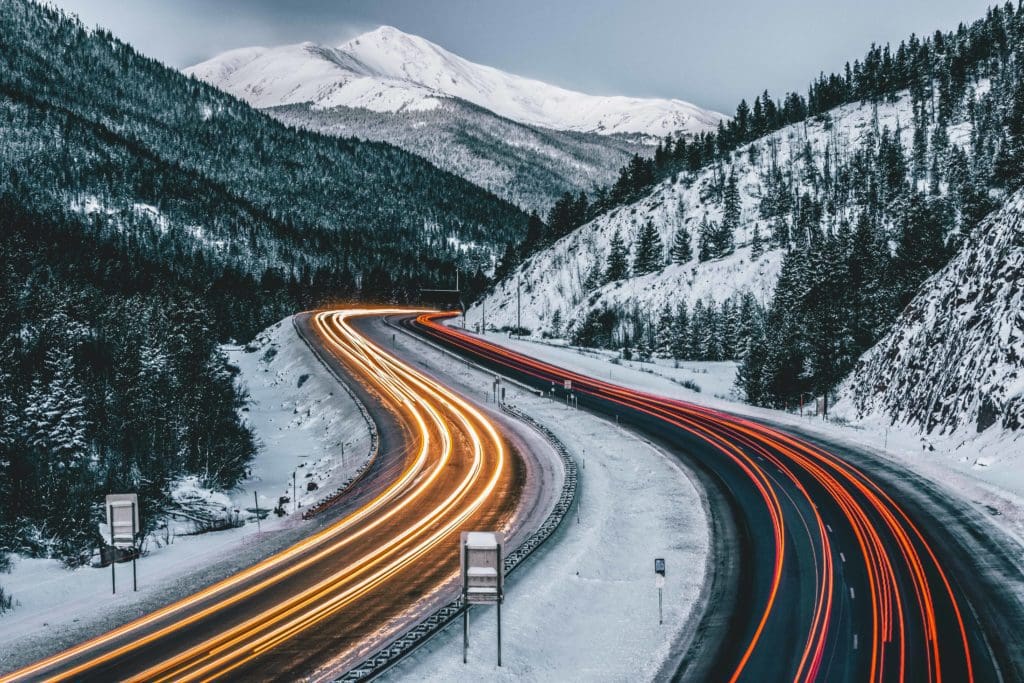
Traffic on Interstate 70 (I-70) in Colorado during winter.
I-70
I-70 is a whole other beast. Not only does the highway bring the lion’s share of Front Range mountain enthusiasts west, but it also travels across the two highest passes that any highway crosses in the US. If you plan on using I-70 to facilitate your winter adventures, DO NOT travel on Friday afternoons heading west or Sunday afternoons heading east. Those are the typical weekend warrior travel times, and you will be sitting in traffic. If you can swing it, Thursday evenings are nice, and Monday mornings can be empty (weather aside).
Regular slowdowns occur at Floyd Hill, Idaho Springs, Georgetown, the tunnels, Vail Pass, Dowd Junction, and Glenwood Canyon. Vail Pass also slides almost every winter, so it does close down fairly often, which can leave you stranded for hours. To plan around that, be flexible with your timing. Avoid the worst of the weekend rush-hours, and if storms threaten, build in at least a few extra hours to deal with slow driving, visibility issues, and snow.
For the southern Denver suburbs down to Colorado Springs, there are a couple of other options to I-70, including 285. 285 is regularly plowed, heads through the mountains at Kenosha Pass, and ends up near Fairplay. From there, you can take Hoosier Pass north and wind up in Breckenridge without having to use the highway. However, this is not a secret route; everyone will use this route if I-70 is slow. Delays on 285 often rival the worst ones on I-70. If you plan on using this option, avoid rush hour times and understand that mountains limit shortcut options. It’s just the way it is. Regular slowdowns on 285 occur near Kenosha pass, Bailey, Aspen Park and near Morrison.
A cold and snowy winter day near I-70.
Reliable Weather Reports
Here are some weather reports that I’ve found. They are organized from south to north and at multiple elevation gradients. Most are free resources, which is great. There’s also Opensummit and Opensnow, which need subscriptions to unlock all the features but have some of the best mountain forecasts for the state
Just because it’s a certain temperature down lower doesn’t mean it’ll be that way once you gain a few thousand feet.
Southern Front Range Urban Corridor
Pueblo (4,692 ft.)
Cañon City (5,331 ft.)
Colorado Springs (6,035 ft.)
Monument/Palmer Divide (7,136 ft.)
Southern Front Range Mountain Region
Westcliffe (7,867 ft.)
Manitou Springs (6,412 ft.)
Woodland Park (8,465 ft.)
Cheyenne Mountain (9,564 ft.)
Mt. Rosa (11,500 ft.)
Pikes Peak (14,115 ft.)
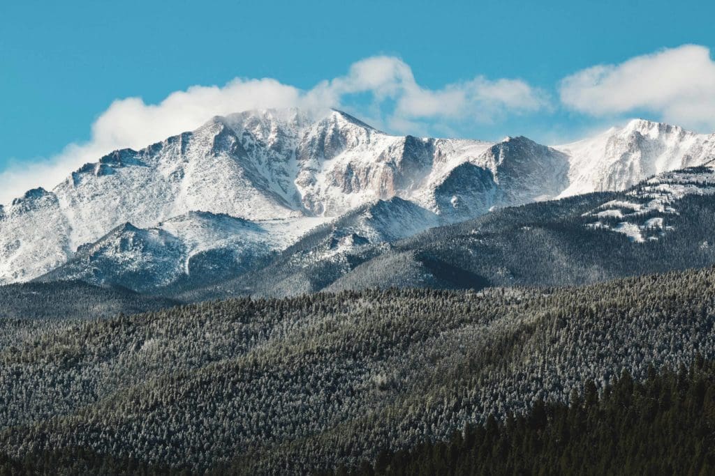
Winter storm clouds on Pikes Peak near Colorado Springs.
Denver/I-70 Front Range Urban Corridor
Castle Rock (6,224 ft.)
Denver (5,279 ft.)
Golden (5,675 ft.)
Parker (5,869 ft.)
Aurora (5,403 ft.)
Westminster (5,384 ft.)
Denver/I-70 Front Range Mountain Region
Idaho Springs (7,526 ft.)
Georgetown (8,530 ft.)
Evergreen (7,165 ft.)
Aspen Park (8,094 ft.)
Berthoud Pass (11,306 ft.)
Loveland Pass (11,991 ft.)
Guanella Pass (11,670 ft.)
Grays Peak (14,278 ft.)
Mt. Evans (14,265 ft.)
St. Mary’s “Glacier” (11,368 ft.)
The Citadel and Snoopy’s Collar backcountry ski line near the I-70 Tunnels.
Northern Front Range Urban Corridor
Broomfield (5,420 ft.)
Boulder (5,318 ft.)
Longmont (4,984 ft.)
City of Loveland (4,982 ft.)
Fort Collins (5,003 ft.)
Greeley (4,675 ft.)
Northern Front Range Mountain Region
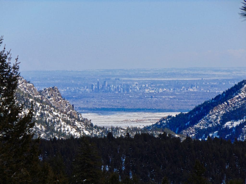
The dramatic clash between the Front Range foothills and the urban corridor is most pronounced in places like just outside of the city of Boulder, which you can see on the right side of the picture.
Western Side of the Front Range
Must Visit Areas
These areas are covered under a variety of outdoor protections, whether at the local, state or federal level. When people think of Colorado, it’s likely that one or more of these options will be mentioned.
- Royal Gorge (Open all year, privately owned, more touristy but features plenty to love including the titular Royal Gorge Suspension Bridge over the Arkansas River.)
- Garden of the Gods (This area of supreme natural beauty lies just west of downtown Colorado Springs. There are opportunities to hike, bike, picnic, and marvel at stunning rock features jutting out from the surrounding land.
- Red Rocks (Most famous for the amphitheater, this area is also full of trails. In the winter, you can explore to your heart’s content, and with a fresh blanket of snow on the namesake Red Rocks, it makes for a particularly striking adventure. The best parking is at the Trading Post.)
- Chautauqua Park/The Flatirons (This is one of Boulder’s key draws, emphasizing a series of slanted and iconic rocks. There are trails with views a-plenty, along with hundreds of rock climbing and scrambling routes up the rocks.)
- Rocky Mountain National Park (Bear Lake road corridor and the lower reaches of Trail Ridge are plowed, allowing access to winter recreation areas like Hidden Valley and Bear Lake. If you want a national park worthy winter excursion, try snowshoeing to Emerald Lake.)
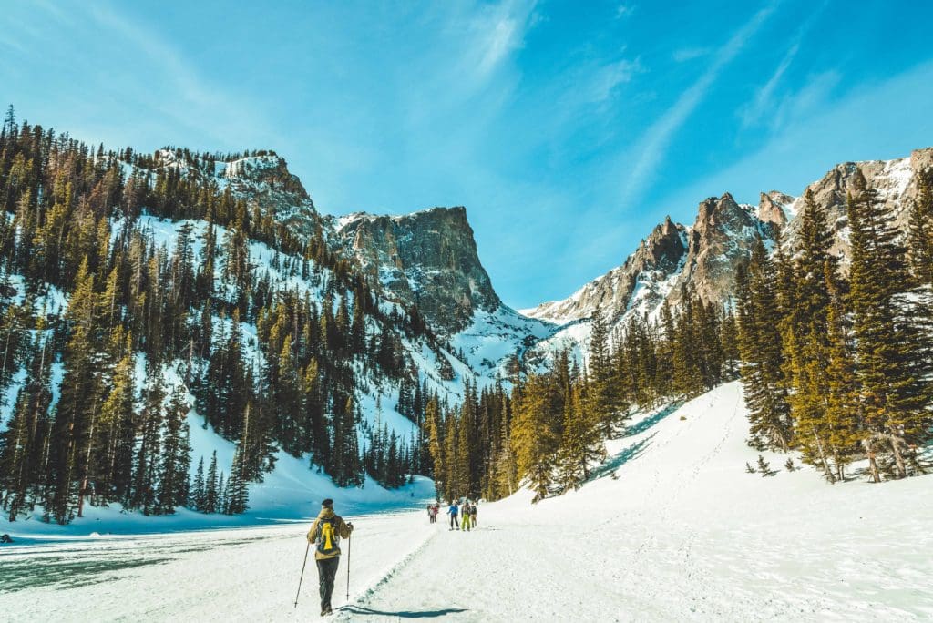
Crossing the frozen surface of Dream Lake in Rocky Mountain National Park, Colorado.
Open Spaces
These parcels of land are owned by private individuals but have been leased for public recreation. It’s a cool program that has protected thousands of acres of terrain near the larger cities. A lot of Front Range counties have extensive open space programs, below are some links to the most popular ones and all the information you’ll need to get to them. Check for winter gates and seasonal closures as not all Open Space trails are open through the winter.
- Arapaho County (southern Denver)
- Jefferson County (western Denver/Golden)
- Boulder County (Boulder/Longmont)
- Douglas County (Castle Rock)
- Larimer County (Fort Collins/Greeley)
- Colorado Springs
- Pueblo
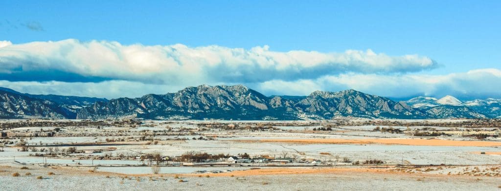
Beautiful early morning view of the snowy front range mountains and the Rock Creek Farm open space between Denver and Boulder.
Front Range State Parks
Colorado State Parks are another fantastic way to get introduced to winter hiking. Many state parks are lower in elevation and in areas along the Front Range where you could put in some exploration without having to deal with mountainous weather extremes. At times, there will be snow; at other times, a week of dry weather will melt a lot of it. Some of the best Front Range State Parks are listed below. Of course, snowshoes or micro-spikes may be necessary if trails are snow-covered.
Highlights from south to north
- Lathrop State Park (South of Pueblo:
- Lake Pueblo State Park (West of Pueblo: waterfront, trails, camping
- Cheyenne Mountain (Southern Colorado Springs)
- Roxborough State Park (Southwest of Denver)
- Chatfield State Park (Southwest of Denver)
- Golden Gate Canyon State Park (West of Denver)
- Eldorado State Park (South of Boulder)
- Lory State Park (West of Fort Collins)
- State Forest State Park (west of Cameron Pass/Fort Collins, east of Walden. Of all the state parks listed, this one is the most mountainous and located on the western side of the range.)
Denver through the mountains, taken just outside of Eldorado Canyon State Park.
National Forests and Recreation Areas
More than state parks and open space, the Front Range contains some stellar national forests to explore. While Rocky Mountain National Park usually takes a lot of the attention, there are many more destinations to discover in the area’s national forests. Keep in mind that national forests cover a wide range of elevations and conditions. There are deep wildernesses and high mountains out there; make sure to do your research before heading out.
- Roosevelt National Forest/Arapaho National Forest (managed together)
- Pike/San Isabel National Forest (managed together)
- National Recreation Area (Brainard Lake Recreation Area, Arapaho National Recreation Area, Buffalo Creek Recreation Area, Eleven Mile Canyon Recreation Area)
Brainard Lake Panorama.
General Winter Activities
- Ice Skating (multiple locations, most major towns have ice skating rinks)
- Sledding/Tubing (Echo, Keystone, Hidden Valley)
- Ice Fishing (Georgetown Lake, Chambers Lake, Eleven Mile Reservoir, Lake Granby)
- Dogsledding (Breckenridge)
- Hockey/Basketball Games (Avalanche, Nuggets)
- Winter Festivals (Ullr Fest, Ullr Grass, Cripple Creek Ice Festival)
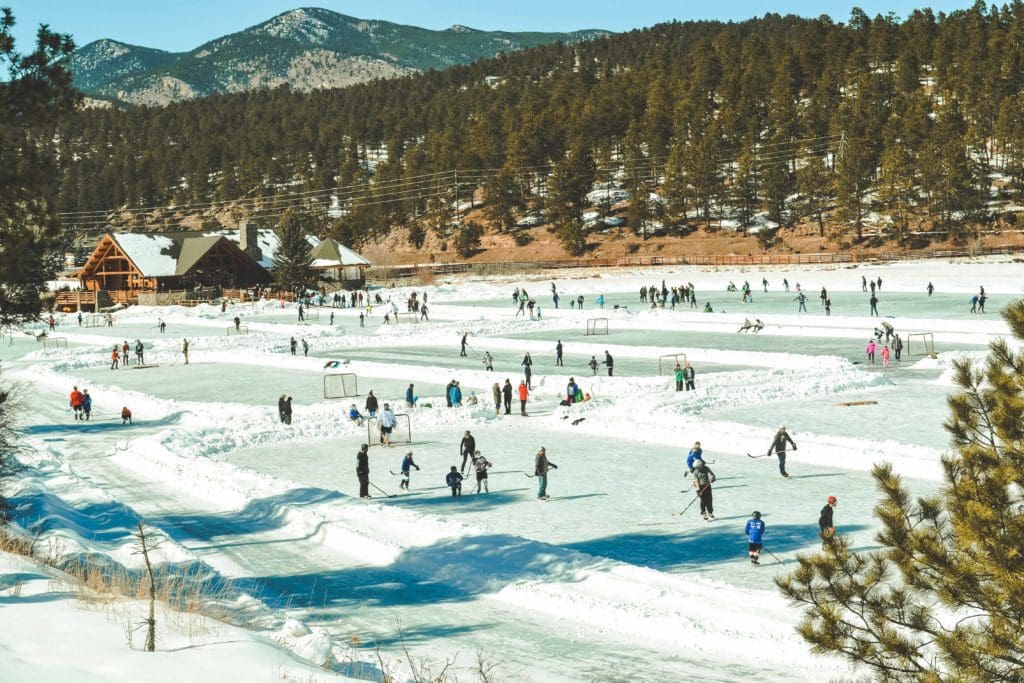
Simultaneous ice skating and ice hockey games on a frozen lake in Evergreen, Colorado.
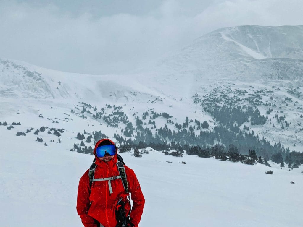
Advanced Winter Activities
- Skiing/Riding (Keystone, A-Basin, Loveland Ski Area, Echo, Eldora)
- Cross country skiing/snowshoeing (Cameron Pass, Eldora, Brainard Lake, Rocky Mountain National Park, Caribou Ranch)
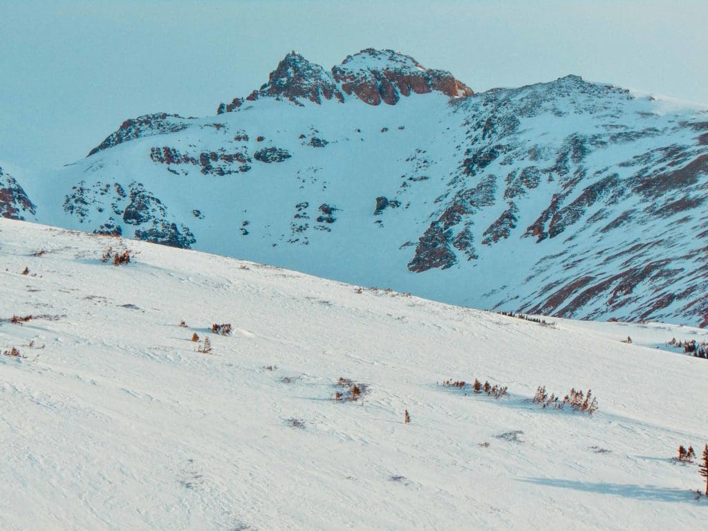
- Backcountry skiing (Herman Gulch, Brainard Lake Area, Bear Lake Corridor, Cameron Pass)
- Night skiing (Keystone)
- Cat Skiing (Jones Pass Guides, Loveland free snow cat, Keystone Guided Cat Skiing, Keystone Cat shuttle)
- Hut Trips/Yurts (Brainard & Årestua Huts, Broome Hut, State Forest Cabins, State Forest Yurts, James Peak Yurt)
- Fitness challenges: Manitou Incline
- Ice Climbing (Clear Creek Canyon, Boulder Canyon Falls, Rocky Mountain National Park.)
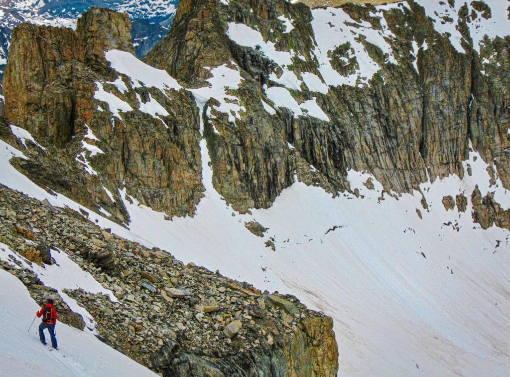
A backcountry skier contemplating their next turns down Queensway Couloir in the Brainard Lake Area.
Conclusion
As you can see, there’s a lot to do in just the front range! This guide is meant to open youreyes and get you excited about the winter possibilities out there; it is by no means a complete list. There are likely thrice as many adventures as I’ve laid out. Hopefully, with these resources, most of which are linked to further information, you’ll be ready to give winter recreation a try; it sure beats sitting inside waiting for the snow to melt.
Global Rescue is there whether you’re hiking, kayaking, snowmobiling, fishing or simply enjoying the outdoors and get ill or injured and you’re unable to get to safety on your own. Global Rescue is the red button you push in an emergency. Their team of medical and security experts come through for you when it matters most.