


High Point:
6,630 feet

Total Ascent:
~1,100 feet

Difficulty:
Moderate

Distance:
6 Miles

Waypoints:
39.938767, -105.258217

Route Type:
Loop
Starting at the South Mesa Trailhead near Boulder, Colorado, you are rewarded with breathtaking views of South Boulder Peak, various rocky outcrops, and Eldorado Canyon. This scenic route will take you for a loop.

Overview
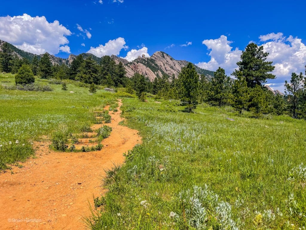
Not all great hikes lead to summits. This loop is a perfect example. Emerging from the popular South Mesa Trailhead, you are given stunning views of South Boulder Peak, various dramatic rock formations, and Eldorado Canyon throughout the loop. It’s a great trail running, hiking, and casual walking tour featuring the clashing environments of the mountains and the high plains. There isn’t a lot of tree coverage on the lower portions of the trail, so make sure you bring a hat and some sunscreen for warm summer days.
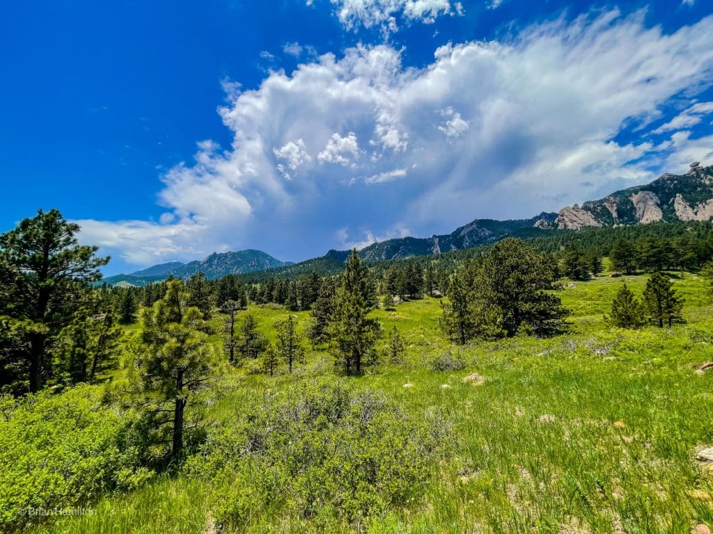
The rocky ridges leading up to South Boulder Peak and Bear Peak are visible from many portions of the hike.
Table of Contents:
Article Navigation: Click on any of the listed items in the table of contents below to jump to that section of the article. Similarly, clicking on any large, white section header will jump you back to the Table of Contents.
Scales and Criteria
This article uses two metrics, distance and elevation gain, to calculate overall difficulty. The loop takes advantage of existing trails, so there is no scrambling or off-trail navigation required. However, there are a few trail junctions to navigate, so make sure you have a map downloaded or take a physical one with you to make sure you take the right trails to complete the loop.
- Easy: less than 5 miles, less than 500 ft. of elevation gain
- Moderate: 5-10 miles, 500-2000 ft. of elevation gain
- Difficult: 5-15 miles, more than 2000 ft. of elevation gain
- Very Difficult: 10+ miles, more than 3,500 ft. of elevation gain
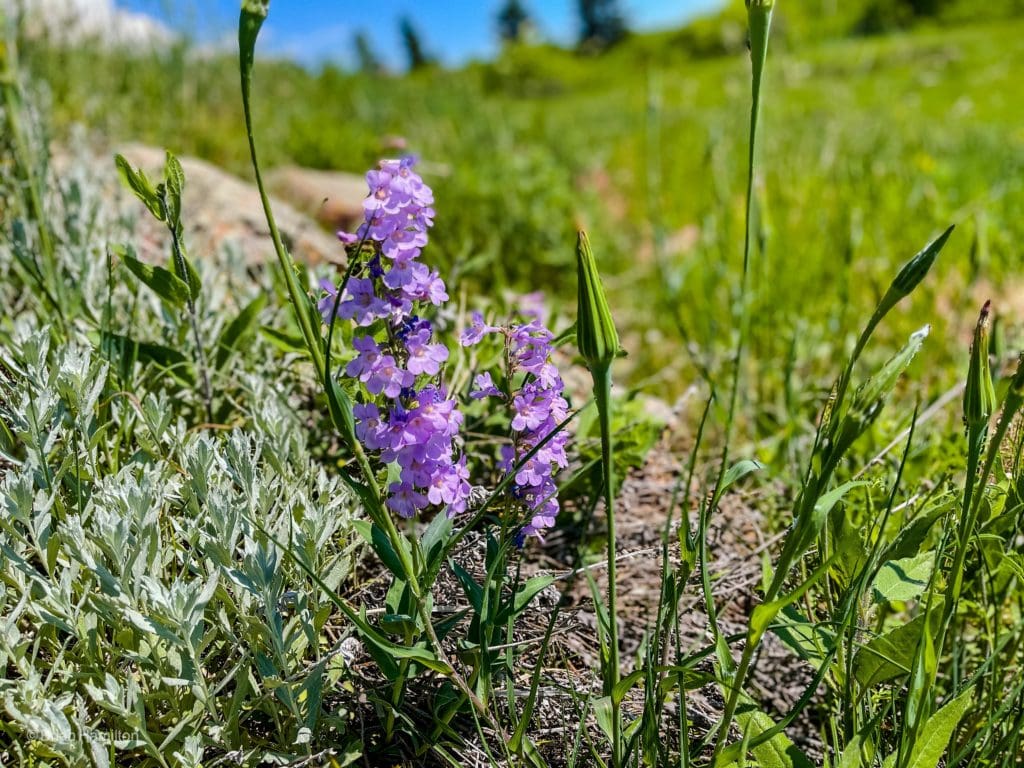
A Field Pansy along the trail.
Directions to Trailhead
South Mesa Trailhead can be accessed south of Boulder proper.
Find Broadway (Highway 93) and take it south of town. You’ll come to an intersection with Highway 170, also known as Eldorado Canyon Road. Take a right (west) as if heading toward Eldorado Canyon State Park. There is a shell gas station at the intersection of 170 and 93.
If you’re coming from the south (areas like Golden), take 93 north until coming to the junction with 170. This will be before you head into Boulder and right after a dramatic downhill portion with views of the Flatirons to your left.
Once on 170, continue west for 1.78 miles until sighting the South Mesa Trailhead on the right (north) side of the road. There are designated spots in the lot, but they do fill up early. DO NOT park on 170; you will be ticketed or towed. There is a $5 fee for license plates not registered in Boulder County.
If you end up in the small town of Eldorado Springs, you’ve gone too far.
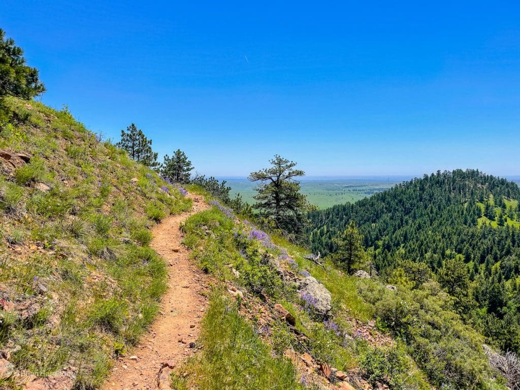
Along the higher portions of the loop near Shadow Canyon.
Places to Stay
With the city of Boulder at the foot of the trail, there are numerous options for places to stay. The city has a wide variety of Airbnb options as well as hotels. Some of the more well-known options include:
Camping
Camping options are much more limited near town but generally increase the farther west you travel. Gross Reservoir is likely the closest, along with the Boulder County Fairground (one of the rare options to the east of town). West Magnolia, Olive Ridge, and Meeker Park are a little farther.
- Gross Reservoir
- Boulder County Fairground (RV Campground).
- West Magnolia. This area doubles as a great mountain biking location too. It’s also located near the funky town of Nederland.
- Meeker Park
- Olive Ridge
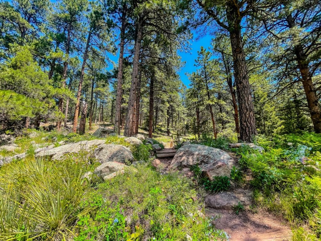
A wooded section of the loop.
Field Notes
This is a great, view-ridden loop that can be used for a casual hike or a trail-running exercise loop. The trails are well-laid out, and the elevation gain is moderate. Despite its close location to Boulder, it does help to have a few forecast locations available for comparison. Boulder’s 7-day forecast is a good starting point. You can also check out the Twin Sisters Peak forecast. The mountain is nearby and while it reaches far above the top of the loop, averaging out both forecasts is a good indicator of what’s happening along the higher and more sheltered parts of the loop.
In the summer, this hike can get hot. Bring at least a few liters of water, sunscreen, and a hat. Typical Front Range weather can be expected for most of the hike, but the weather can change suddenly. Make sure you check the latest forecast before heading out. Without much tree cover, there are fewer places to hide from afternoon thunderstorms.
The South Mesa Trailhead charges a $5 fee for parking if your license plate isn’t registered with Boulder County.
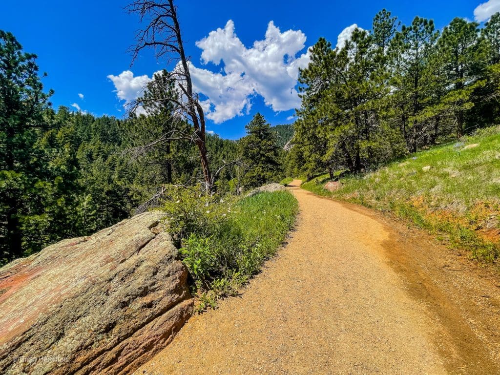
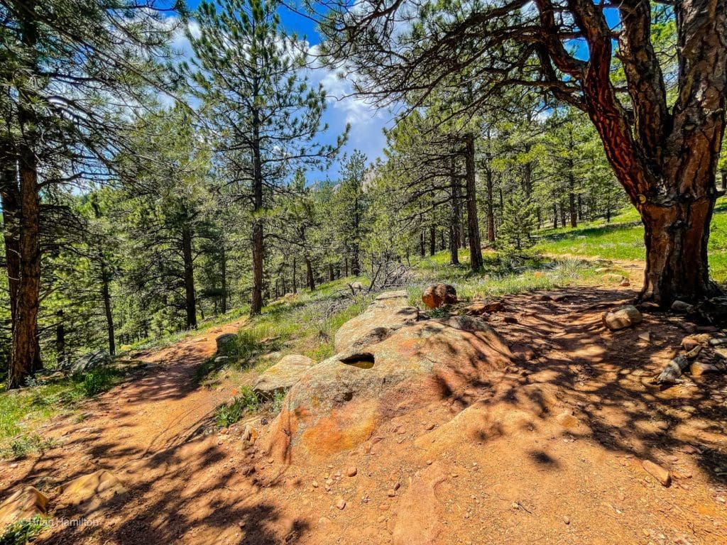
A good example of the mixed terrain on various parts of the hike.
Journal
Please note, this trail description runs the loop counterclockwise. The trails in order will be:
- Mesa Trail (brief)
- Left onto Homestead Trail
- Left to rejoin Mesa Trail when Homestead Trail dead ends (brief)
- Left onto Shadow Canyon South Trail
- Right onto Shadow Canyon North Trail
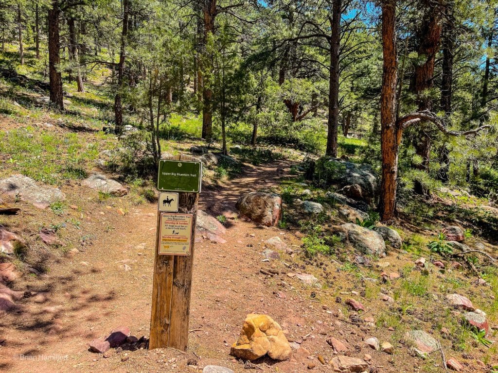
- Right onto Upper Bluestem Trail
- Right onto Lower Bluestem Trail (brief)
- A final left onto Mesa Trail, which will take you back to the parking lot.
You can also hike this loop clockwise.
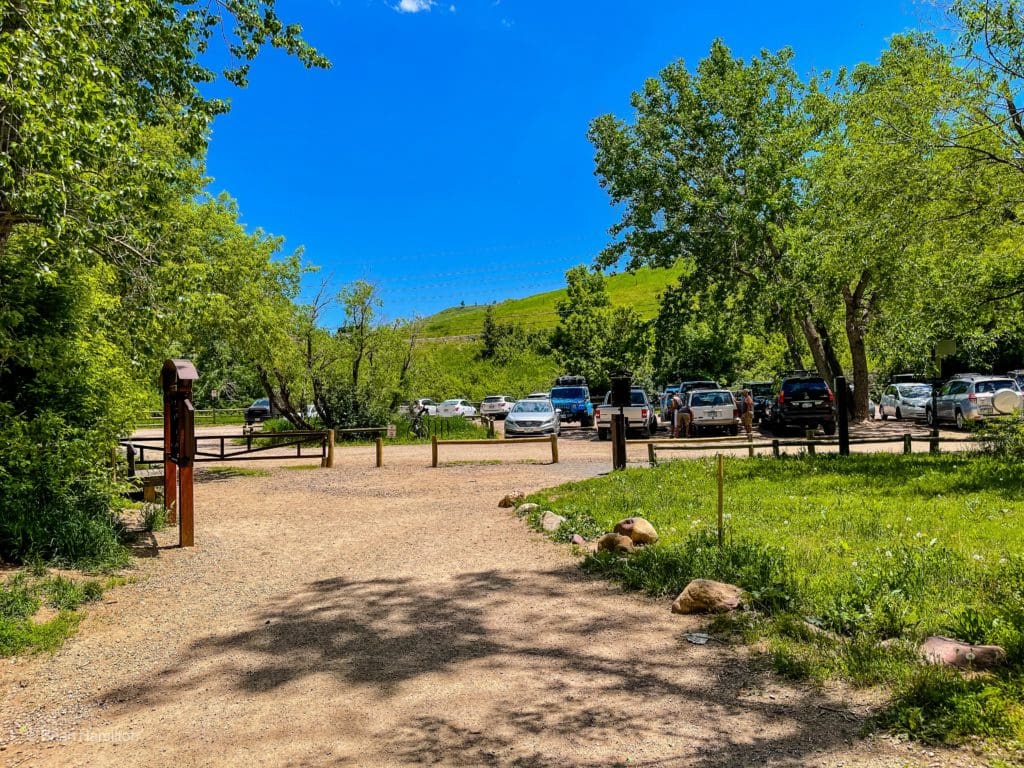
Once you’ve found a place to park, head to the main trailhead, marked by a large kiosk and plenty of signs.
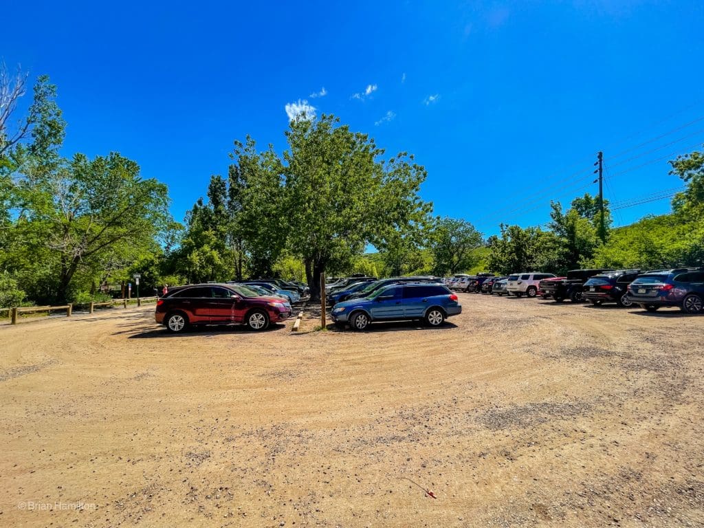
South Mesa Trailhead Parking Lot.
The path will first cross South Boulder Creek.
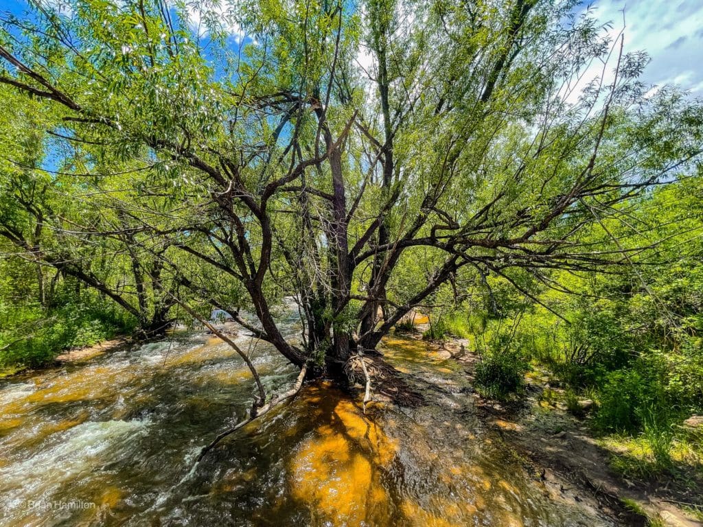
The rushing creek as you cross over it on a well-built bridge.
Once over the creek, you’ll ditch the few trees near the parking lot and enjoy a well-laid-out trail in wide open fields.
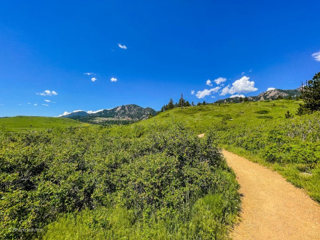
Lots of sun on this first stretch. Like many areas along the base of the Front Range, you’ll be hiking up into tree coverage from more arid landscapes at the edge of the Great Plains.
After about 0.2 miles, you’ll come across a junction with the Homestead trail, take it left (west) and begin ascending.
After gaining a little elevation, the views to the west begin to open up.
This trail will offer great views toward Eldorado Mountain, which is bisected by an active rail line that runs all the way to Winter Park via Moffat Tunnel. See if you can spot the tracks. You’ll also get views into Eldorado Canyon, located just to the right of Eldorado Mountain.
The trail will switchback up a roll of land where you may see some beautiful flowers in May/early June.
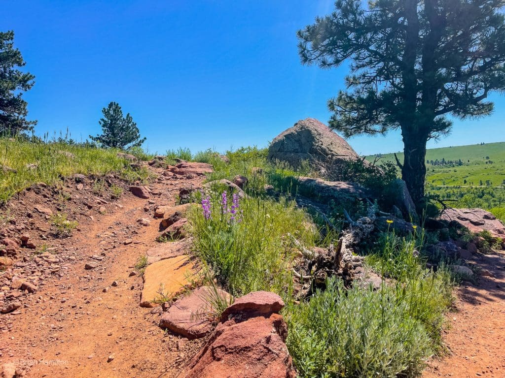
Gaining some elevation.
There are also some great examples of trail work along this stretch. Trail work is critical for keeping trails sustainable and slowing down the rate of erosion.
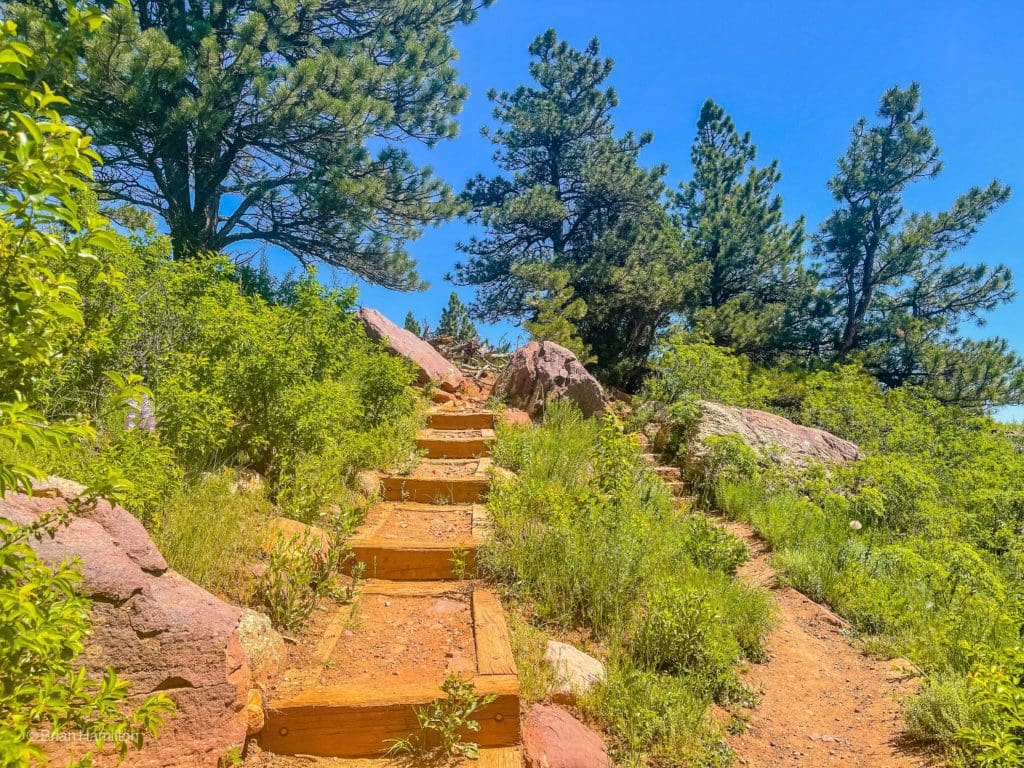
Good example of trailwork helping to slow down the rate of erosion.
Once you crest the roll of land you’re on, you’ll weave in and out of a few pine tree patches on the very obvious trail.
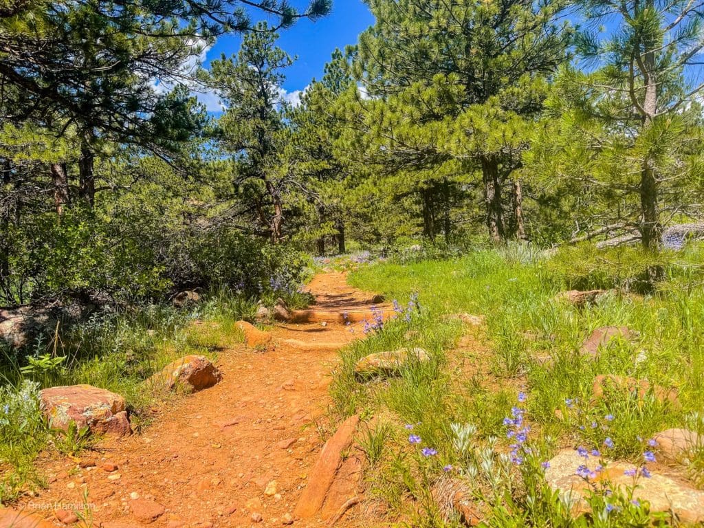
The well-laid-out trails in this area are great for trail running.
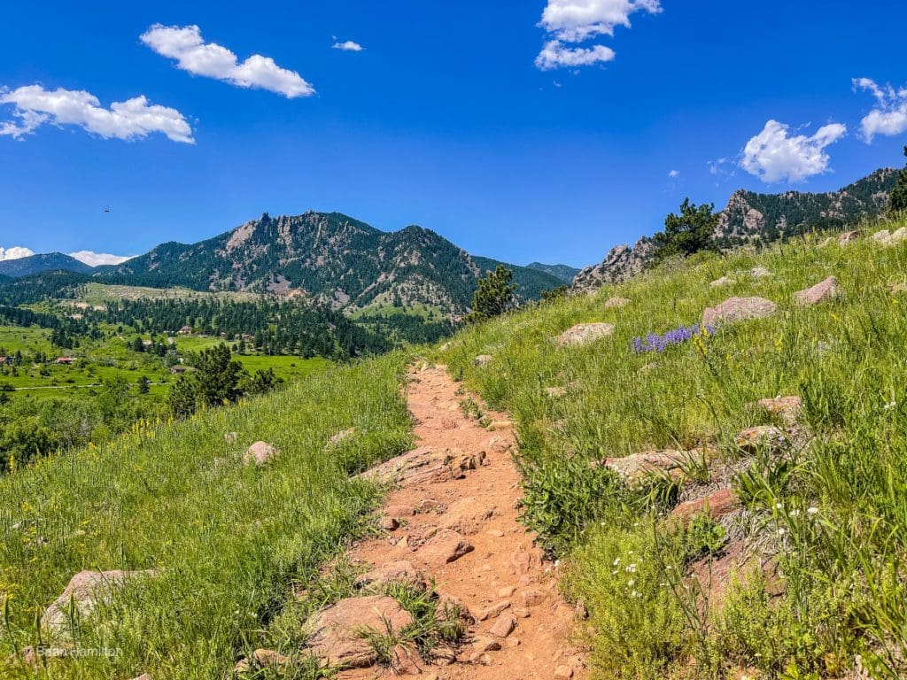
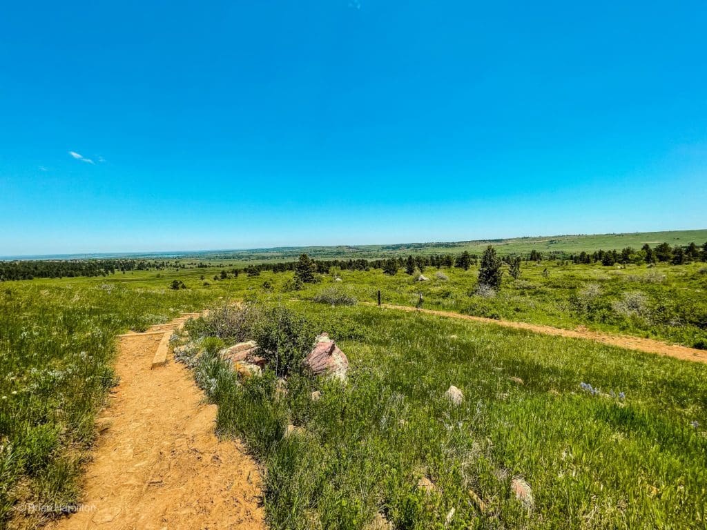
As you continue a modest gain of elevation, you’ll start to see the ramparts of the Front Range mountains taking shape ahead of you.
Heading toward higher ridges.
After about 1.3 miles, the Homestead Trail will dead-end back into Mesa Trail. Take a left to continue the loop.
Take a left at this junction.
This portion of the Mesa Trail is very short, and after only a few points of a mile, you’ll take another left on the Shadow Canyon South Trail.
The trail is like a highway through this section.
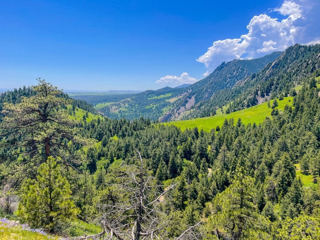
Continue west as the tree cover gradually increases. The same geological up-thrust that created the Flatirons also shaped the landscape here, and you’ll see many rock towers and ridges on the slopes of South Boulder and Bear Peak.
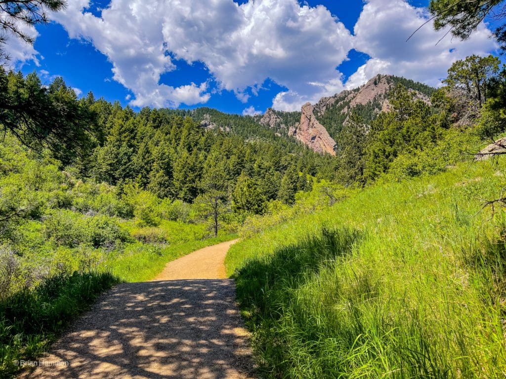
Into the arms of the mountains.
You’ll also pass a historic shack to the side of the trail.
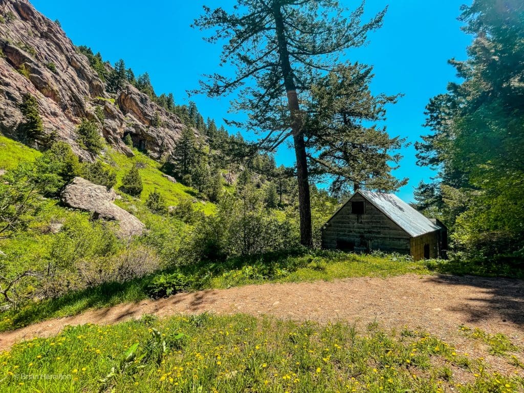
Historic shack.
Instead of heading up Shadow Canyon, which will lead you to South Boulder Peak, at the following intersection, stay to the right on Shadow Canyon North Trail. You’ll pop up in elevation as you work your way out of the canyon, which will start to offer some great perspective back east.
Curling around the ridges near South Boulder Peak.
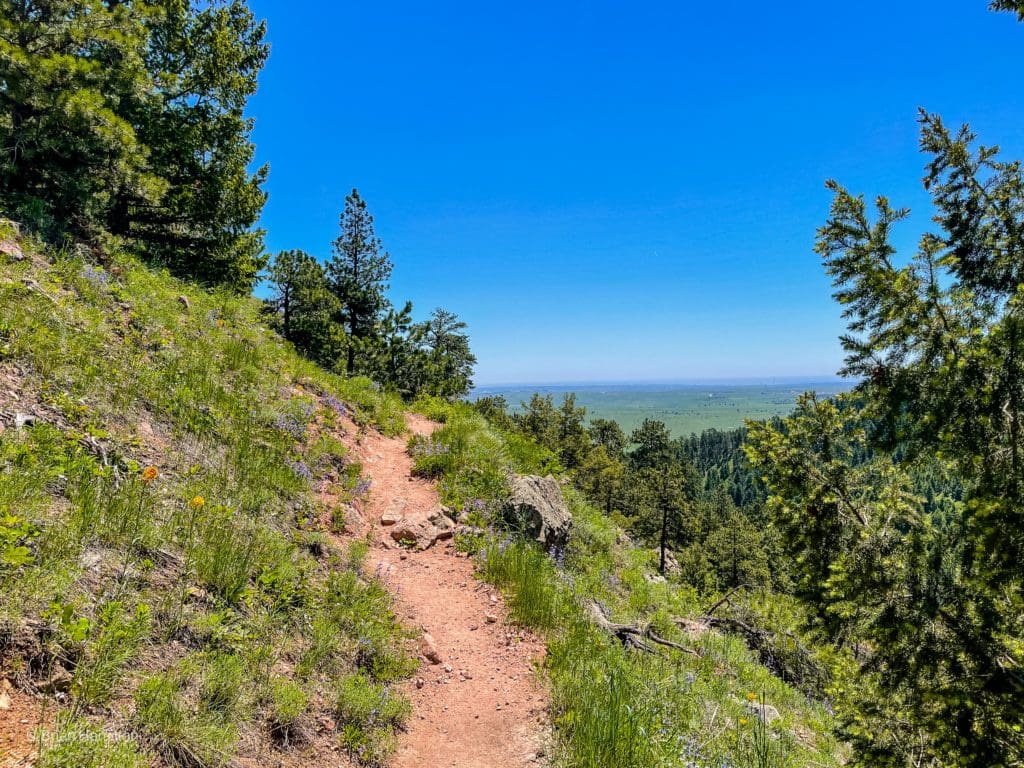
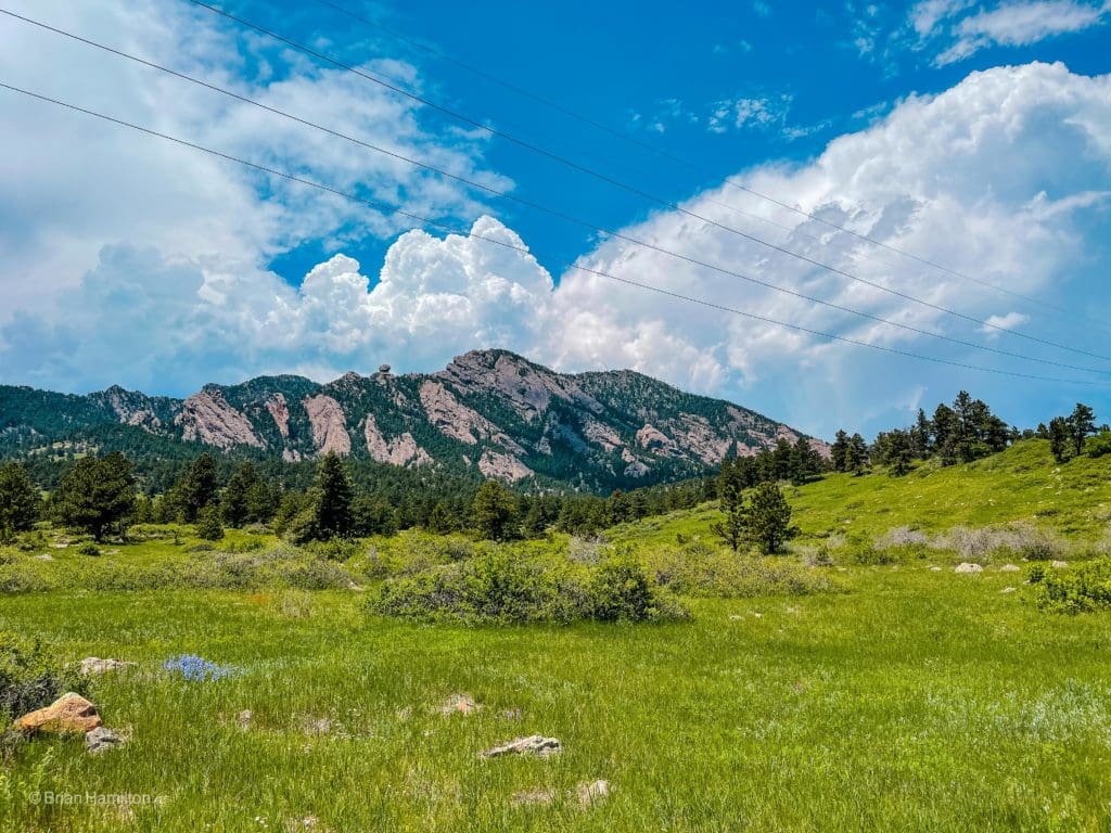
This part of the trail ascends and traverses around the bulk of a higher ridge, affording you excellent views. As you work your way around the ridge, you’ll get a particularly striking perspective to the south.
Along the eastern edge of the Rocky Mountains.
The trail will eventually head north, oscillating between fields and patches of trees while the land slopes down to your right (east).
The terrain begins to slope down to your right as the trail takes a more northerly direction.
Enjoy the rolling nature of the trail as you pass another intersection with the Mesa Trail. Stay straight, heading north; the trail changes names to Mesa. The junction you’re looking for is with Upper Bluestem Trail. When you find it, take a right.
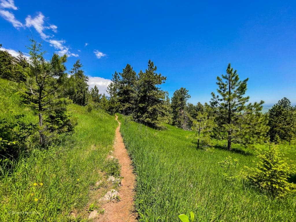
The Upper Bluestem Trail will take you east as you slowly lose elevation.
Mixed terrain and tree coverage as you begin the downhill portion of the loop.
The tree coverage will begin to dissipate as you make your way farther from the foot of the mountains.
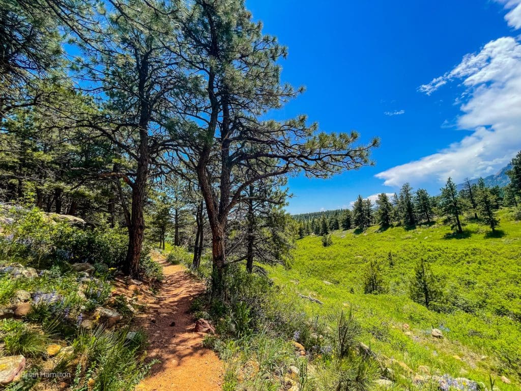
Grassy meadows gaining prominence.
The trail has a few isolated switchbacks, which give you a chance to stare back at some of the dramatic rock formations to the west.
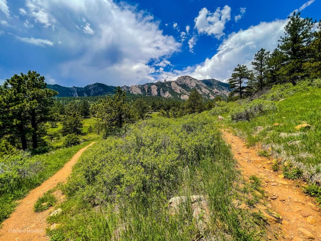
Back up to Front Range ridges.
At the end of the Upper Bluestem Trail, take a right to continue your loop.
The last few hundred feet of the Bluestem Trail portion.
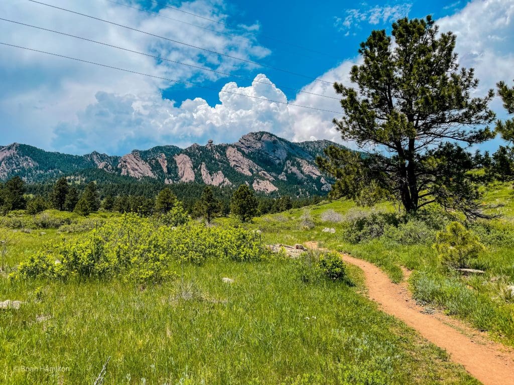
Now hiking south, and with less tree cover, you’ll get some more great views towards the mountains. You’ll also follow under a section of power lines, but they don’t take away much from the stellar view.
Even with the power lines, the long-range views from the lower portion of the loop are pretty inspiring.
At the junction with the Mesa Trail, take a left.
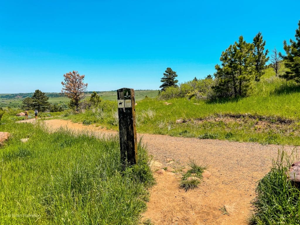
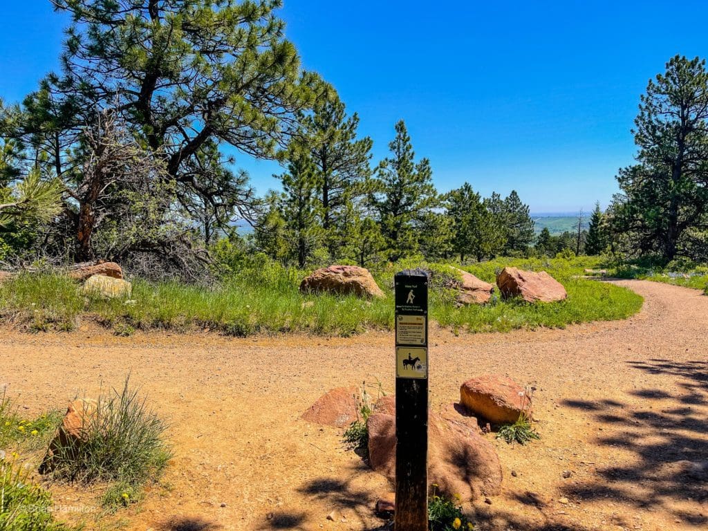
The well-signed trail junctions are very helpful for piecing together multi-trail loops like this one.
You have one more junction to make a decision at, although both variations head back to the trailhead. If you take a left, it’s ~0.2, if you continue on the wider trail, it’s more like ~0.25, but the difference is really negligible. After they split, both trails come back together before continuing on to the parking lot.
Back at the Parking lot.
Terms of Use:
As with each guide published on SKYBLUEOVERLAND.com, should you choose to this route, do so at your own risk. Prior to setting out check current local weather, conditions, and land/road closures. While taking a trail, obey all public and private land use restrictions and rules, carry proper safety and navigational equipment, and of course, follow the #leavenotrace guidelines. The information found herein is simply a planning resource to be used as a point of inspiration in conjunction with your own due-diligence. In spite of the fact that this route, associated GPS track (GPX and maps), and all route guidelines were prepared under diligent research by the specified contributor and/or contributors, the accuracy of such and judgement of the author is not guaranteed. SKYBLUE OVERLAND LLC, its partners, associates, and contributors are in no way liable for personal injury, damage to personal property, or any other such situation that might happen to individuals following this route.


