High Point:
14,265 feet
Total Ascent:
3,450 feet
Difficulty:
Hard
Distance:
7 miles
Waypoints:
39.38566, -106.06200
Route Type:
Out and Back
Quandary Peak is located south of Breckenridge and north of Hoosier Pass. The peak is the monarch of the 10-Mile Range, which is highly visible from I-70 in Summit County. In most cases, the highway is the standard approach, though there are multiple ways of reaching the peak.
From I-70, find Exit 203 and take Route 9, heading south. You’ll eventually pass through the resort town of Breckenridge. Continue south, passing mountain scenery and small hamlets like Blue River. Before the route begins to climb significantly up Hoosier Pass, look for Blue Lakes Road on your right-hand side. Immediately to your right is the overflow lot, which is usually your best bet for parking as the trailhead is incredibly popular. If you arrive very early, you can continue to McCullough Gulch Road (FS 851) and take a right. Roughly two minutes down this road, you will see a small pullout on your right-hand side that marks the closest parking option to the summit.
If you approach from 285, in Fairplay, turn north on Route 9 through Alma. You’ll cross over Hoosier Pass on the Continental Divide before descending towards Breckenridge. Keep your eyes open for the Blue Lakes Road on your left-hand side before reaching the town of Blue River. Same as before, the overflow lot is your best parking bet.
There is no parking fee for Quandary Peak.
I spent the summer of 2017 rebuilding large sections of the Quandary Peak trail with Colorado Fourteeners Initiative. This involved climbing into the alpine daily, completing various rock and timber projects, and observing hiker behavior on the trail. Things I noticed the most were people with inadequate supplies, people tempting the weather, questions regarding restrooms, and questions about wildlife. If you’re already familiar with the aspects of hiking 14ers, skip this section; otherwise, let’s talk about it.
Health and Supplies
-
Like all 14ers, you will be entering an alpine ecosystem, which is important for various reasons. Chief among them is personal health. The higher you hike, the harder it is for your lungs to take in adequate amounts of oxygen. Altitude sickness can manifest in multiple ways, including a lack of appetite. Eat and drink water regularly; even if you don’t feel like it, your body needs it.
-
For every large mountain, it is critical to bring layers, adequate water (~ 3 liters), sunscreen, a first aid kit, food, a map (or downloaded map on a fully charged phone), a headlamp for any pre-sunrise start, and a pack capable of holding it all.
Prevention goes a long way. Breckenridge (or Fairplay, if coming from the south) has plenty of options for food, snacks, and water. If you forgot to pack them, make sure to load up before hitting the trailhead. The same goes for restrooms. While less than seven miles roundtrip, Quandary demands a thigh-burning 3450 feet of ascent and 3450 feet of descent. For those uninitiated with alpine hiking, this will be a slow endeavor. As a backup, there are portable restrooms at the trailhead, but it’s much better to go beforehand. Remember, the mountain will be there tomorrow. If you feel sick, or are trying to race the weather, just come back on another day.
Weather and Popularity
-
As mentioned, Quandary is a popular mountain. Hundreds attempt it a day during peak summer months. If you go, look up sunrise time for Breckenridge and arrive before it.
-
Curious about current conditions? Check Alltrails. The popularity of the Quandary Peak Trail means people post a lot about trail conditions, which will help you prep.
-
Like all 14ers, Quandary Peak is thousands of feet above tree-line. This means you can be far from cover if a storm rolls in, or subject to intense sustained winds. It can snow any month of the year on 14ers when conditions are right. Make it a habit to check multiple forecasts beforehand.
-
The most important weather-related rule for 14ers is to be OFF the summit by noon. The afternoon is when lightning storms become increasingly common, especially between late June and August when the mountains receive their annual monsoon storms. That being said, if you check weather, wind, and lighting chances, Quandary can be climbed almost any time of day. If those checks have not been performed, and there is any chance of afternoon T-storms, stick with an alpine start and get off the summit before noon.
Wildlife
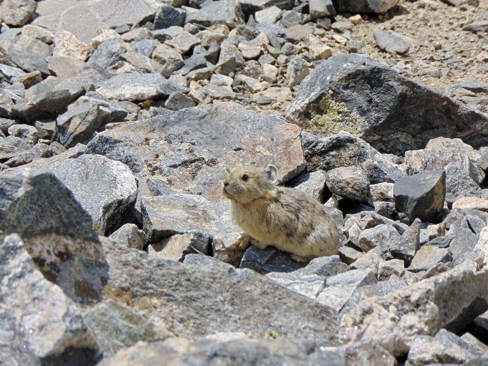

Photo 1. Pika’s are usually found in mountainous areas in the US.
-
Quandary Peak has a very visible mountain goat population. These friendly animals don’t usually impede hikers, but they are large, and they are wild. Don’t pet them. Goats are nitrate starved and will lick the salt off sweaty clothing, backpacks, and trekking poles. They will even go after urine. The best course of action is to give them space when possible, and if it’s not, make yourself big and loud until they move. Generally speaking, they are not prone to dangerous behavior unless you startle them. There is no benefit to testing wildlife; please be respectful.
-
Additional animals you may encounter on the trail include the Pika, Ptarmigan, Marmot, Chipmunk, Squirrel, Martens, and many varieties of birds. Because of the trail’s popularity, chances are slim you’ll see larger predators.
-
If you bring a dog, as many do, clean up after them, and keep them on a leash. Is it required? No, but here’s why it’s a good idea. Dogs chase things, including other dogs and alpine animals like the Pika. Pika’s expend all of their energy eating and gathering food to survive the winter. Diverting critical energy to running from dogs, means they may not have enough food to make it through the winter. Fun fact: Pika’s don’t hibernate. They spend the entire winter under talus in nests made out of alpine vegetation. Their nests are their food source. If they don’t manage to gather enough in the brief summer months, they’ll starve.
Despite Quandary’s friendly profile and relatively straightforward approach, all 14ers demand respect from the average climber. Not only does climbing one involve sustained physical effort, but you’re also doing it in an environment where your lungs can’t get the amount of oxygen they’re used to, and you’re traveling through an ecosystem the vast majority of people have never visited. It’s a lot to unpack! That being said, on a good weather day, and with appropriate supplies, the peak is an absolute stunner. If you’ve ever dreamed of topping 14,000 feet, Quandary is the place to do it.
Places to Stay:
Another benefit of Quandary’s location is its proximity to Breckenridge. The town is adorable, has a fun main street, a massive ski resort, and is a perfect place to acclimatize if you’re coming up from lower elevations. My personal favorite place to stay is the Bivvi Hostel, which has everything from bunks to personal rooms, a hot tub, a sweet porch, and friendly staff. It also costs a lot less than the big hotels in town.
Local Campgrounds:
If comfort is not an issue, you could always arrive at the trailhead the night before and sleep in your car. However, if you’re trying to explore the area a little, plenty of options exist.
-
Blue Lakes Dispersed Camping (no facilities)
-
Boreas Pass Roadside Camping (no facilities)
-
Hoosier Pass Area: (dispersed camping, no facilities)
-
McCullough Gulch Road (FS Road 851): Drive past the Quandary trail and up into McCullough gulch. There are many opportunities off this road but no facilities.
-
Selkirk Campground: Best utilized if approaching from the South, this established campground is usually open from May-Nov. when snow closes the road. 15$ a site.
-
Kite Lake Campground: This popular campground is near an additional set of 14ers, and only a few miles away from Quandary. It is on the south side of Hoosier Pass and requires travel on a rough dirt road to reach. There are only five campsites available, and they go for $12 a night, with an additional $3 day-use fee.
“I spent the summer of 2017 with Colorado Fourteeners Initiative repairing the Quandary Peak Trail below treeline and building stone staircases near the summit push. I must’ve been up and down Quandary 50 times.”
Pre-Climb Notes
Colorado is considered the roof of the lower 48 states because it has the highest concentration of alpine areas outside Alaska. Included in that concentration are thousands of peaks, with 53 official summits that reach above 14,000-foot. One of the quintessential Colorado things to do is climb one. Many climb all 53, but for a novice, step one is finding your first. Some of the most popular 14ers are easy to get to from the Front Range, like Mount Bierstadt, Grays Peak, Torreys Peak, and Quandary Peak.
Easily accessible and fairly straightforward, Quandary’s popularity has skyrocketed in recent years, overtaking Bierstadt as the state’s most hiked 14er. The popularity of Quandary comes with both positives and negatives. The obvious negatives are crowds, limited parking, and less of a wilderness experience. However, many overlook the positives, which include a well-trodden trail, beautiful views, proximity to medical help (Breckenridge is only a few miles away), and a short overall commitment compared to many other 14ers.
Journal:
Let’s get to it! Assuming a full trailhead, you’ll pull up to the overflow lot and begin your journey. Along the western side of the lot (left as you pull in) is a short connector trail that walks you up to McCullough Gulch Road. Take a brief right along the road, until you see the very obvious Quandary Peak Trail to your left
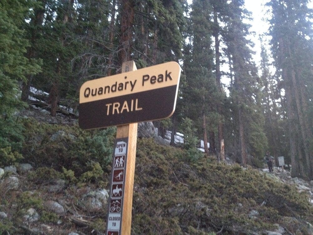

Photo 2. The Quandary Peak Trailhead.
The trail begins abruptly with a set of steps and a sloping climb up through the forest. In this area, you’ll pass numerous wooden steps and retaining walls. After a period of intermittent climbing, you’ll enter a flatter forested section where an old mining road crosses the trail. Keep straight: large signs have been installed to help. After the flatter section, the trail begins a sustained climb, at first through an interspersed landscape of lodgepole pine and open field. You’ll notice the ground becoming drier as you gain elevation.
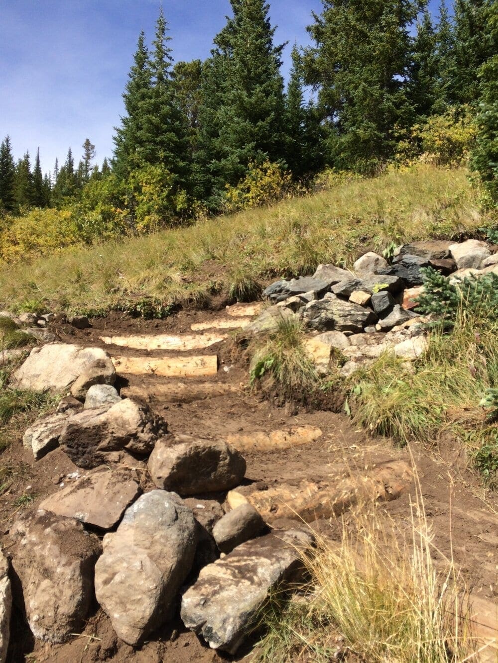

Photo 3. After some sustained climbing you’ll begin to notice the trees getting smaller and bushier.
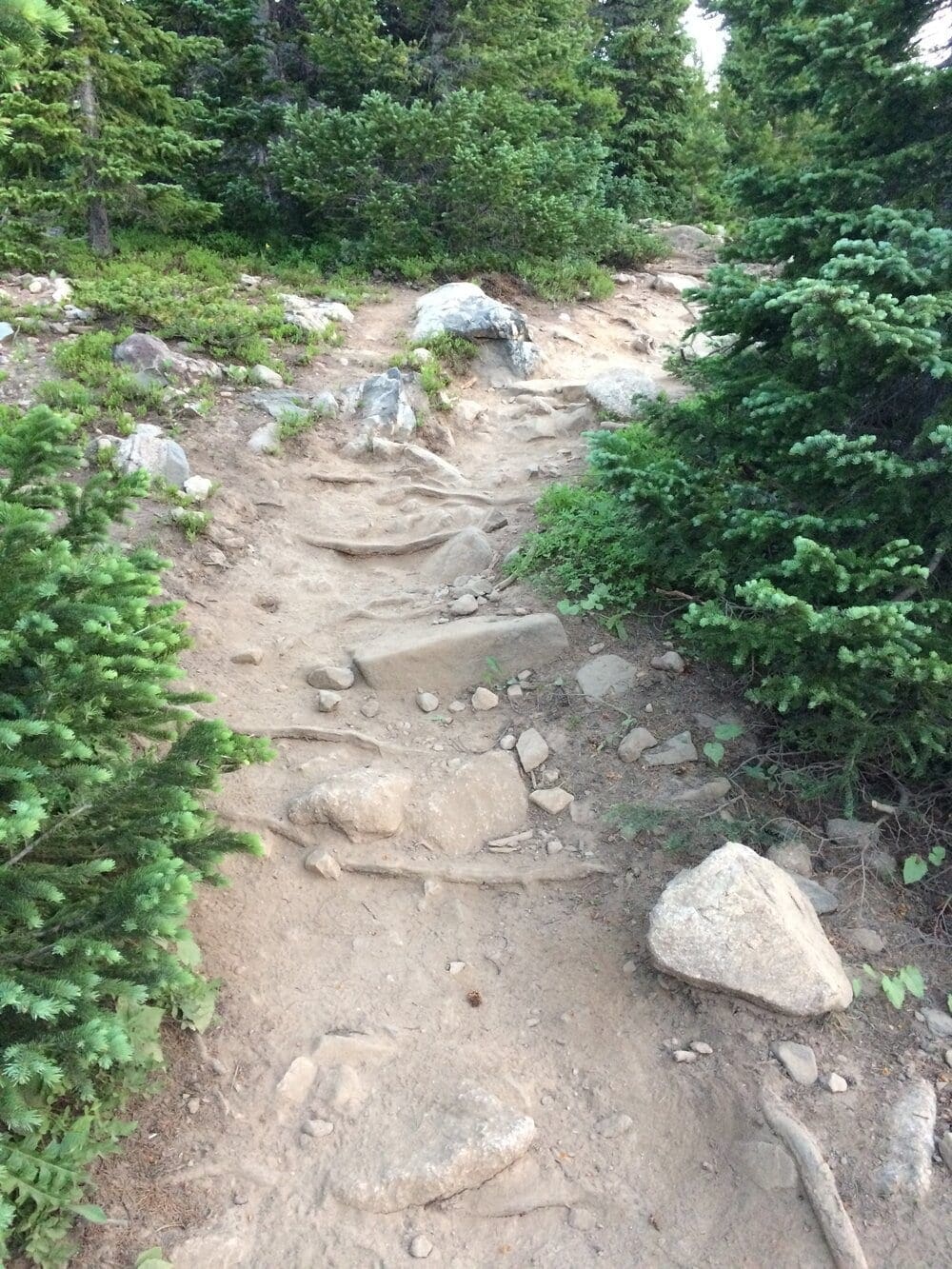

Photo 4. Around this area, the trail flattens out briefly and opens up, offering views east to Bald Mountain. Once you cross this flatter section, and cross a small wooden bridge, the summer trail begins an ascending traverse left (south) across a section of tiered wooden steps.
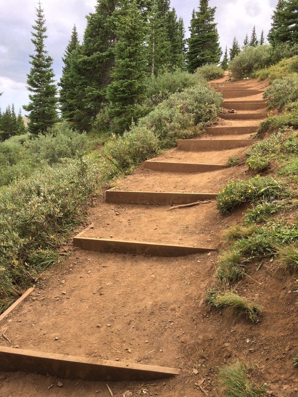

Photo 5.
In the winter, the approach does not slope left and continues straight up. DO NOT take the winter approach without snow cover as it will destroy the alpine and could lead to twisted ankles and injury.
The summer trail will begin to parallel the nose of the ridge while ascending at a moderate pitch. During this ascending section, you’ll pass another open area with small clumps of pines and a view west into the Blue Lakes Basin.
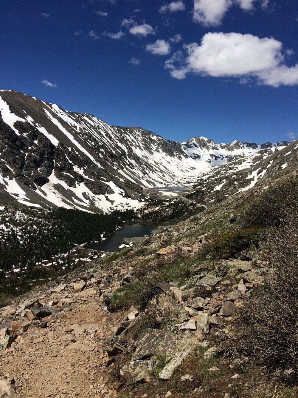

Photo 6. Continuing to climb, the trail will work its way right (north) via some switchbacks and S-curves. This jog-up in elevation is a popular area to see mountain goats and offers you one of your first glimpses of the summit push.
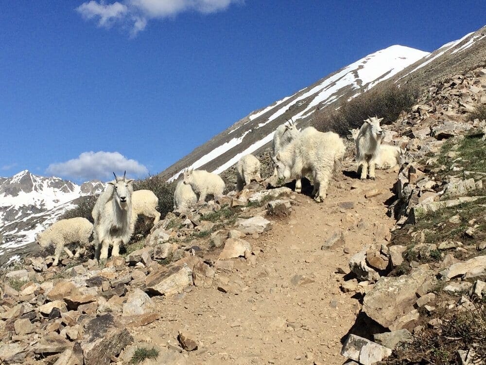

Photo 7. The trail will continue to ascend west, with the height of land on your right-hand side (north) until a series of switchbacks bring it up to the nose of the ridge. You are now above all remaining tree cover. Give a quick look to the clouds and remember, it will likely take time to attain the summit and make it back down to tree line if weather is threatening.
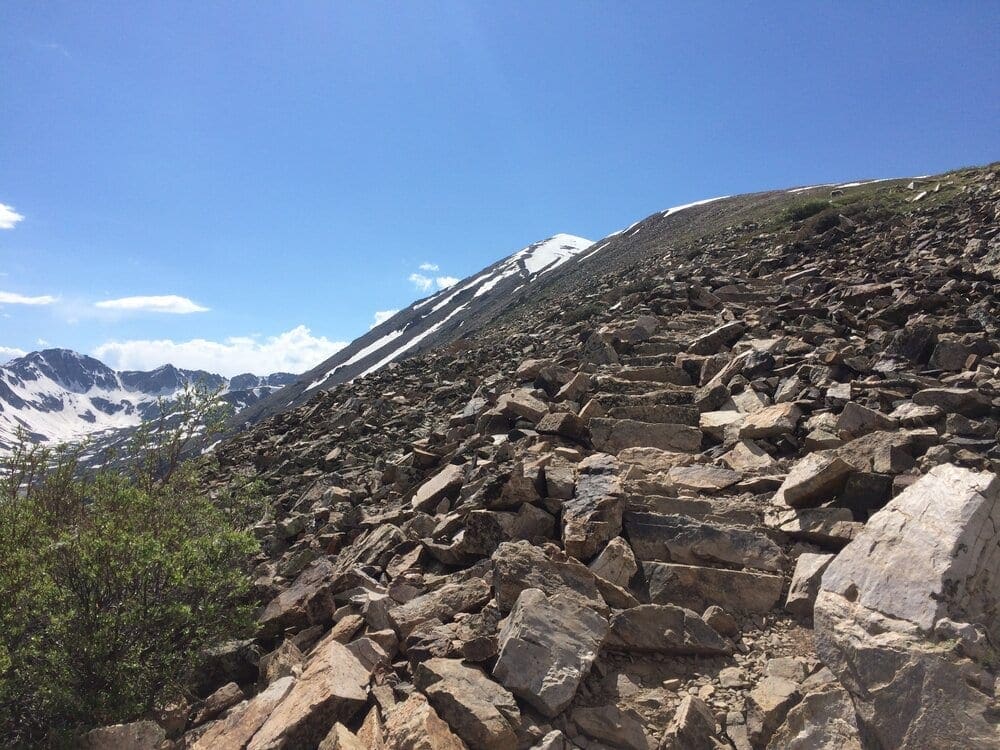

Photo 8. Now properly on the ridge, you’ll climb up to and crest a large roll of land. This section is deceptively long.
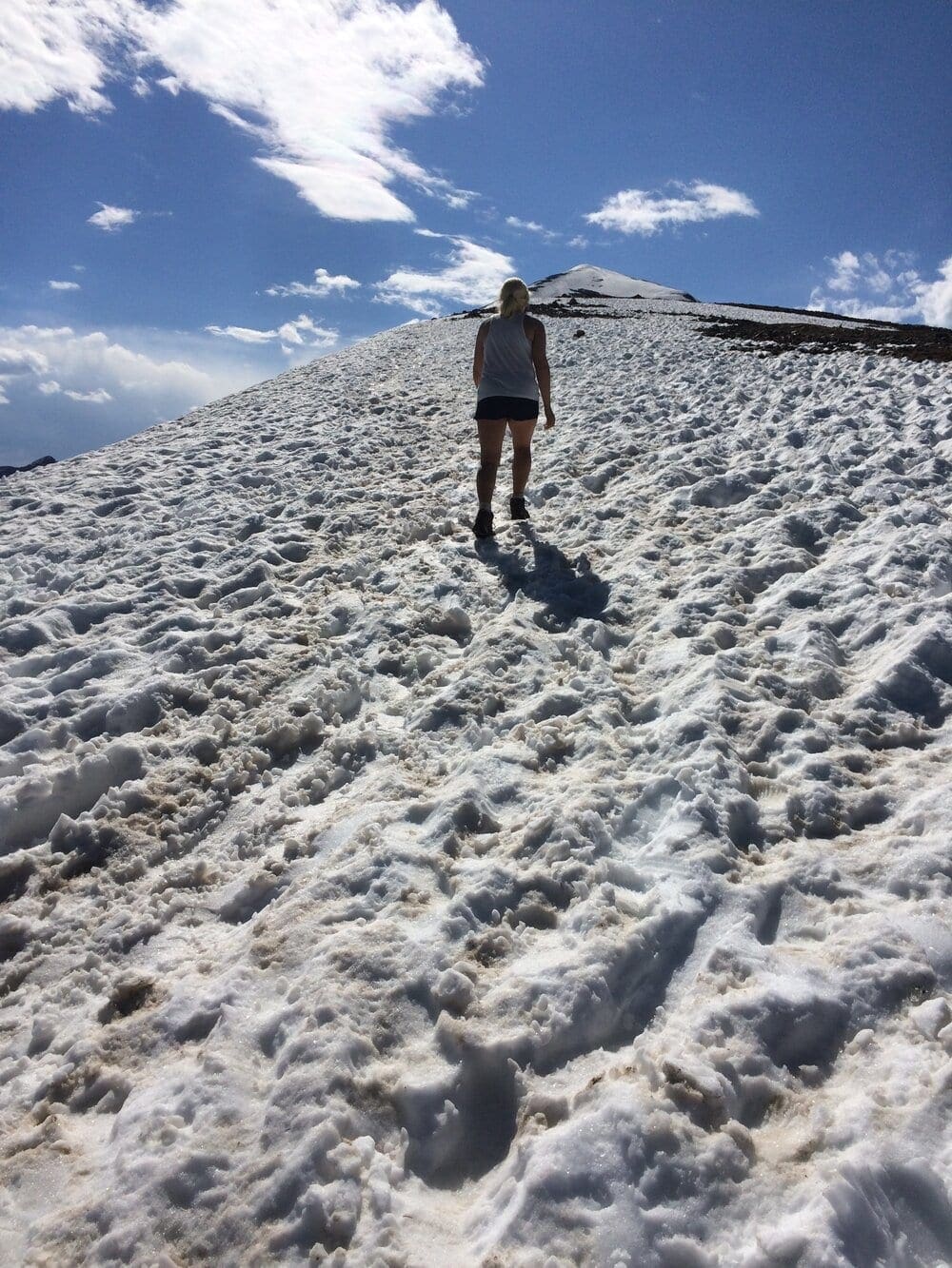

Photo 9. From the top of this rise, you’ll see what you have left to climb. Occasionally, this view can be disheartening as the summit pitch appears steep and difficult. Don’t get discouraged, one foot after the other and you’ll shred the distance in no time.
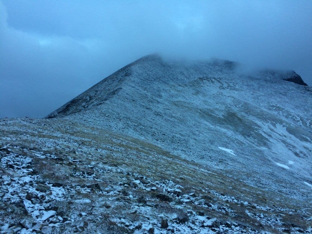

Photo 10. The trail sticks to the height of land, passing a wide alpine bowl to your right, which is popular with backcountry skiers.
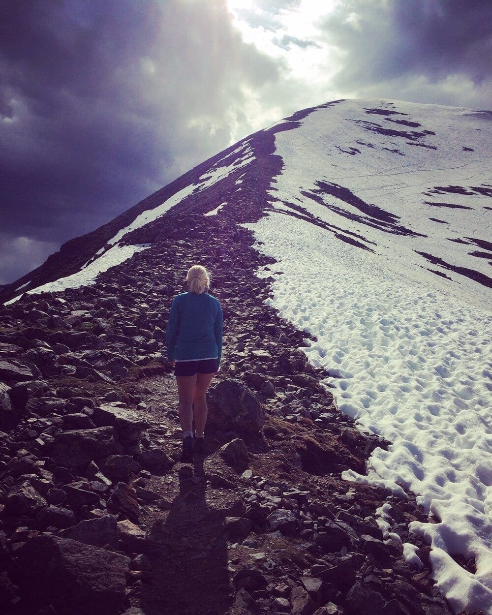

Photo 11. Remember to stay on the trail as much as possible to avoid pummeling the alpine vegetation. Once you draw parallel with the upper alpine bowl on your right, the terrain becomes much rockier, and you may notice a series of rock staircases built by yours truly, which should aid in dispatching an otherwise dusty and rocky talus field.
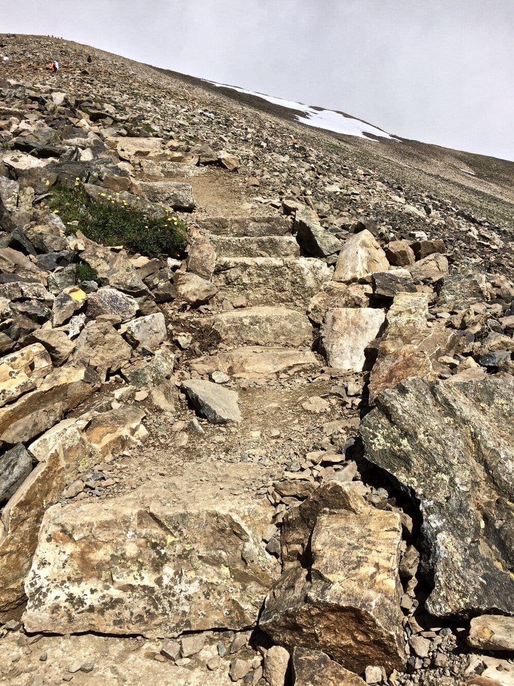

Photo 12. This last stretch up to the summit is also deceptively long. Often, I encountered disheartened climbers here, who thought they could race up the last portion. Try to calm the urge and keep focusing on choosing stable places to plant your feet. Eventually, and after a series of switchbacks, the trail ascent grade beings to smooth out, and you can see the top.
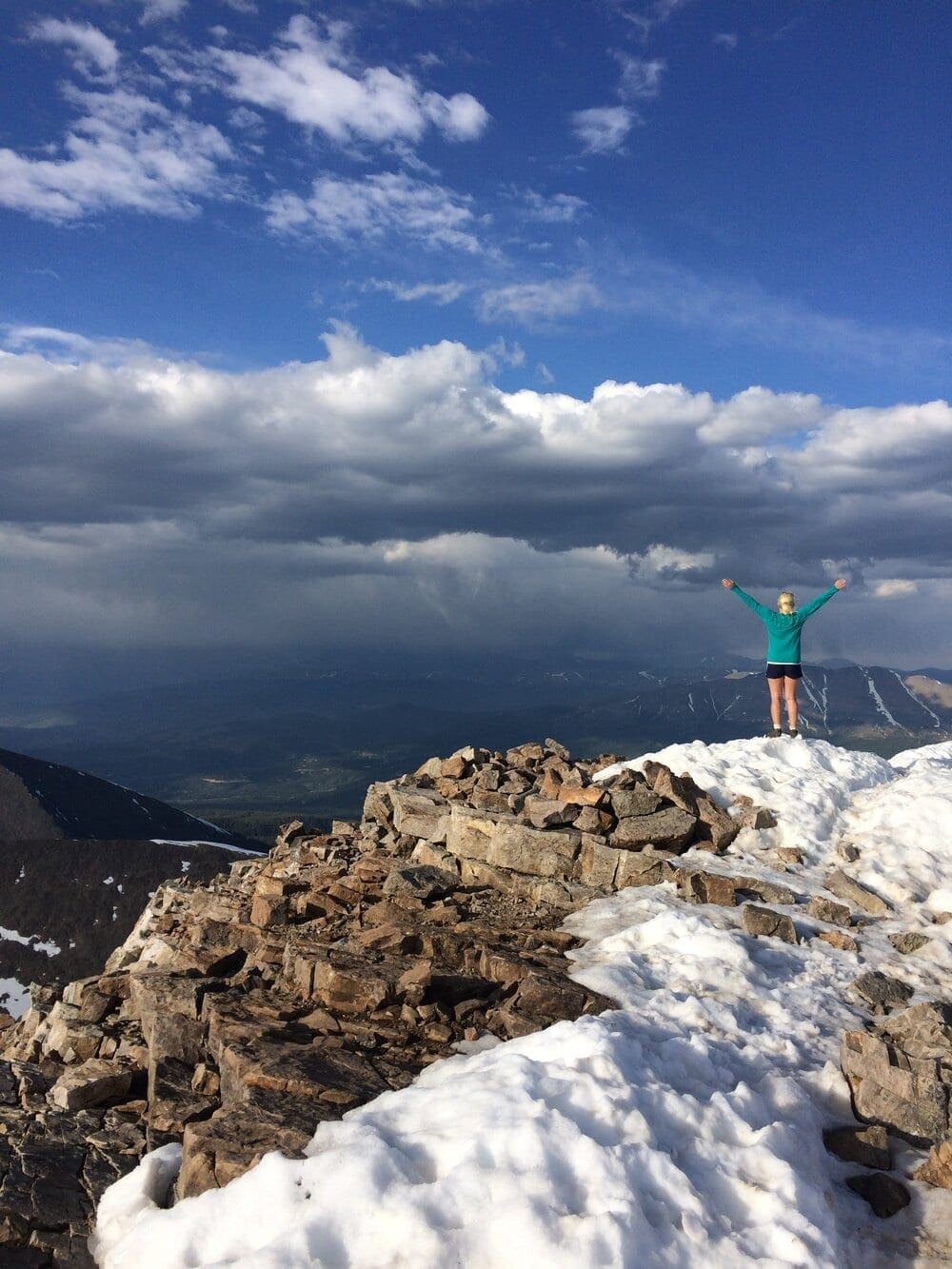

Photo 13. Soak in the incredible views as long as the weather allows, before returning down.
Many hikers have created windshields, semicircular rock structures that help block wind. Seeing them should be the best indication of the summit area. You did it!
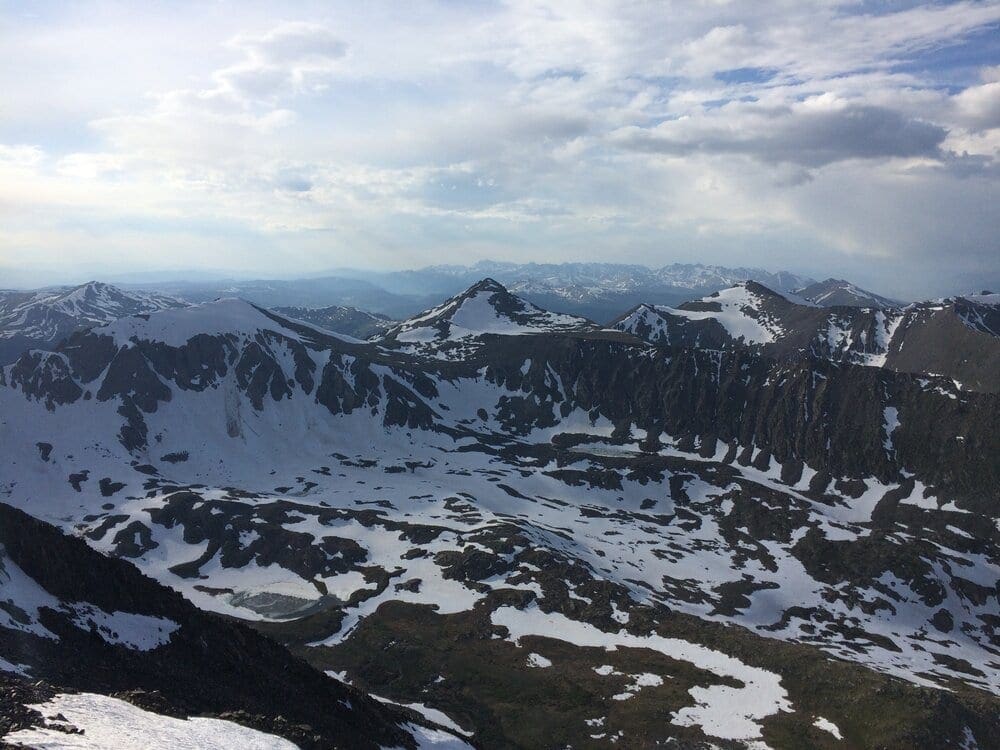

Photo 14. Northward to 10-Mile Range (Pacific Peak) and the Gore Range in background.
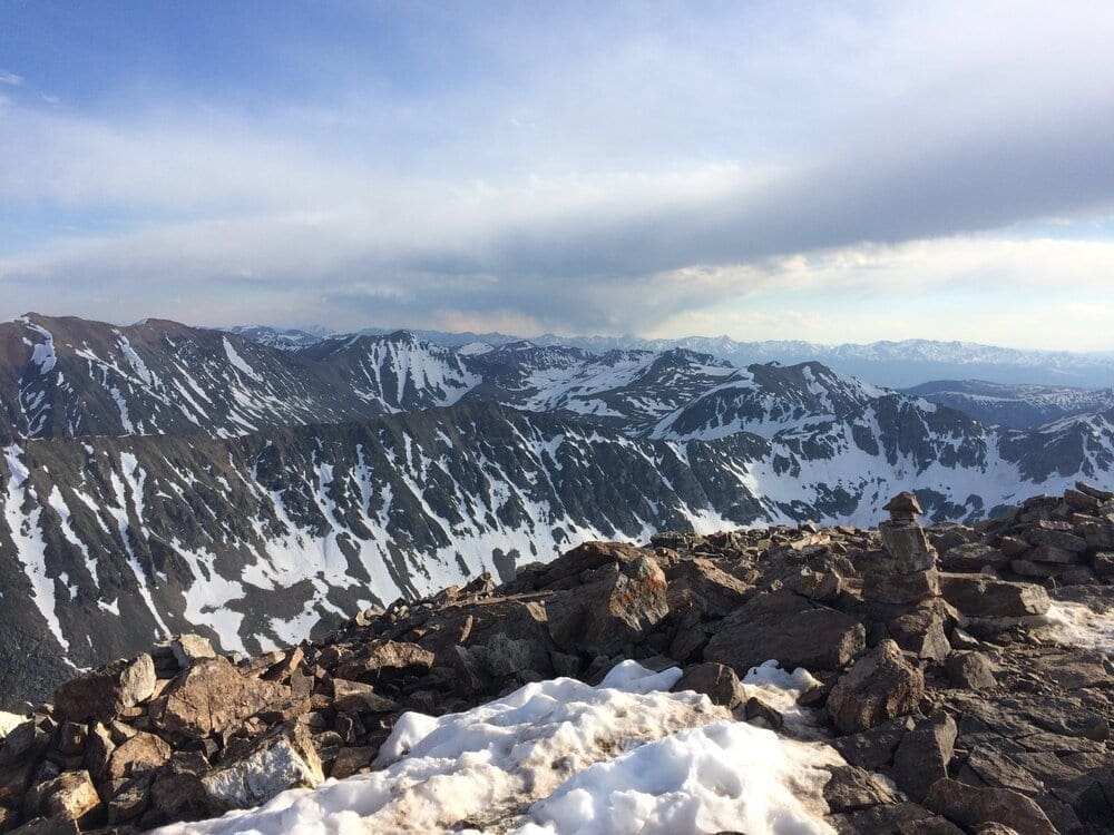

Photo 15. West to Elbert/Massive/Sawatch range across from Leadville area.
The Descent:
Why dedicate a section to the descent? Because the summit is only halfway. Aside from weather, health, and supply considerations, hikers need to have the presence of mind to complete a hike and that means both ways. Too often, people burn themselves out on the ascent, opening the window to injury on the way down.
Mountain climbing is a marathon, not a sprint. The way down leads to injury because we assume the challenges are done. They are not. As you climb off the summit, pay attention, the grade will increase and hikers without adequate tread will slide off the scree and talus. Take careful steps, using trekking poles or large rocks to stem your leg from sliding.
Once you’ve made it out of the alpine, you’ll be able to stride out a little more, however, don’t lose focus. A twisted ankle can wreck your summer. Only when you are back at the parking lot should you be able to breathe a sigh of relief.
Some may think this mentality is extreme but it’s rooted in reality. Having summitted all of the 14ers, and having built trail on a fair amount of them, I understand the risks in the alpine. Mountain climbing is an inherently dangerous activity. I love it and think the reward is absolutely worth the effort, but in hiking, your body is your vehicle, check in with it regularly and adjust as needed.
Final Thoughts:
All in all, it’s an exceptional feeling being above 14,000 feet. As of this writing, I’ve summited Quandary between 30-50 times. I’ve been up Quandary in deep snow, at sunrise, on blistering summer days, in wildfire smoke, and on the 4th of July, when two fighter jets from the air force academy in Colorado Springs blasted across the skyline. Utilizing a number of various weather reports, I was also able to hike Quandary in the late afternoon, which provided an excellent contrast of conditions and colors. Being so close to Breckenridge, Quandary can provide four seasons worth of fun, but if it’s your first time, take the trail slowly, it’s a lot of up.
Picture Gallery:
Critters:
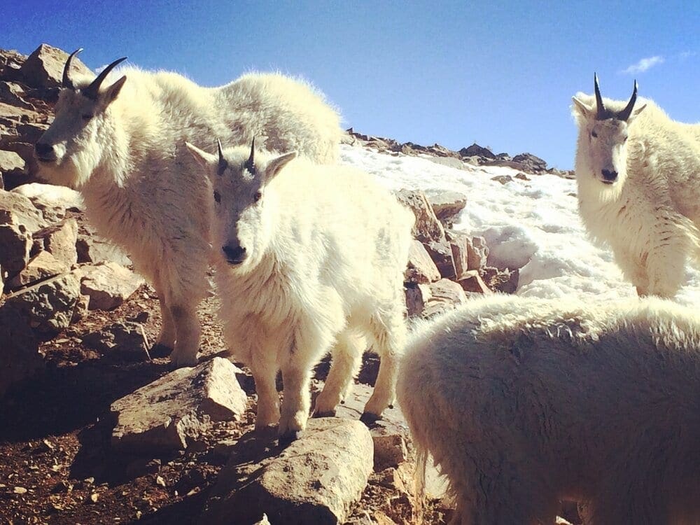

Photo 16. Mountain Goats with baby goat
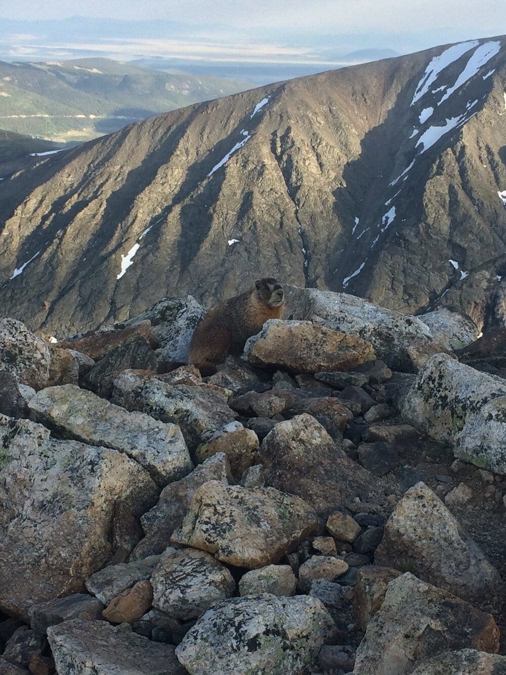

Photo 17. Marmot
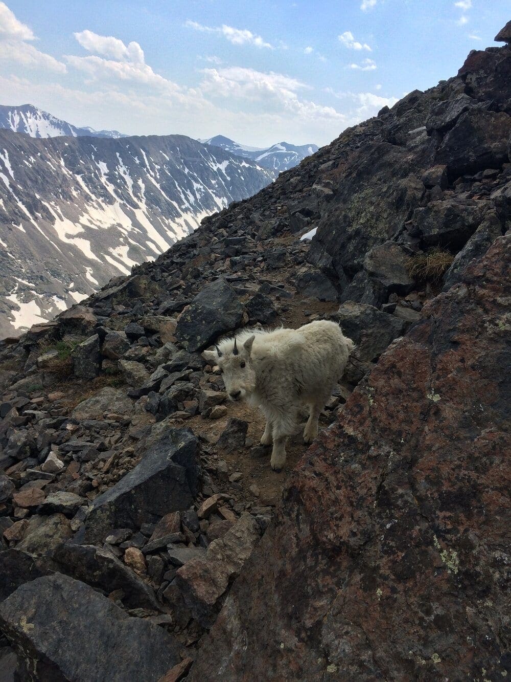

Photo 18. Baby Goat i.e. “Kid”
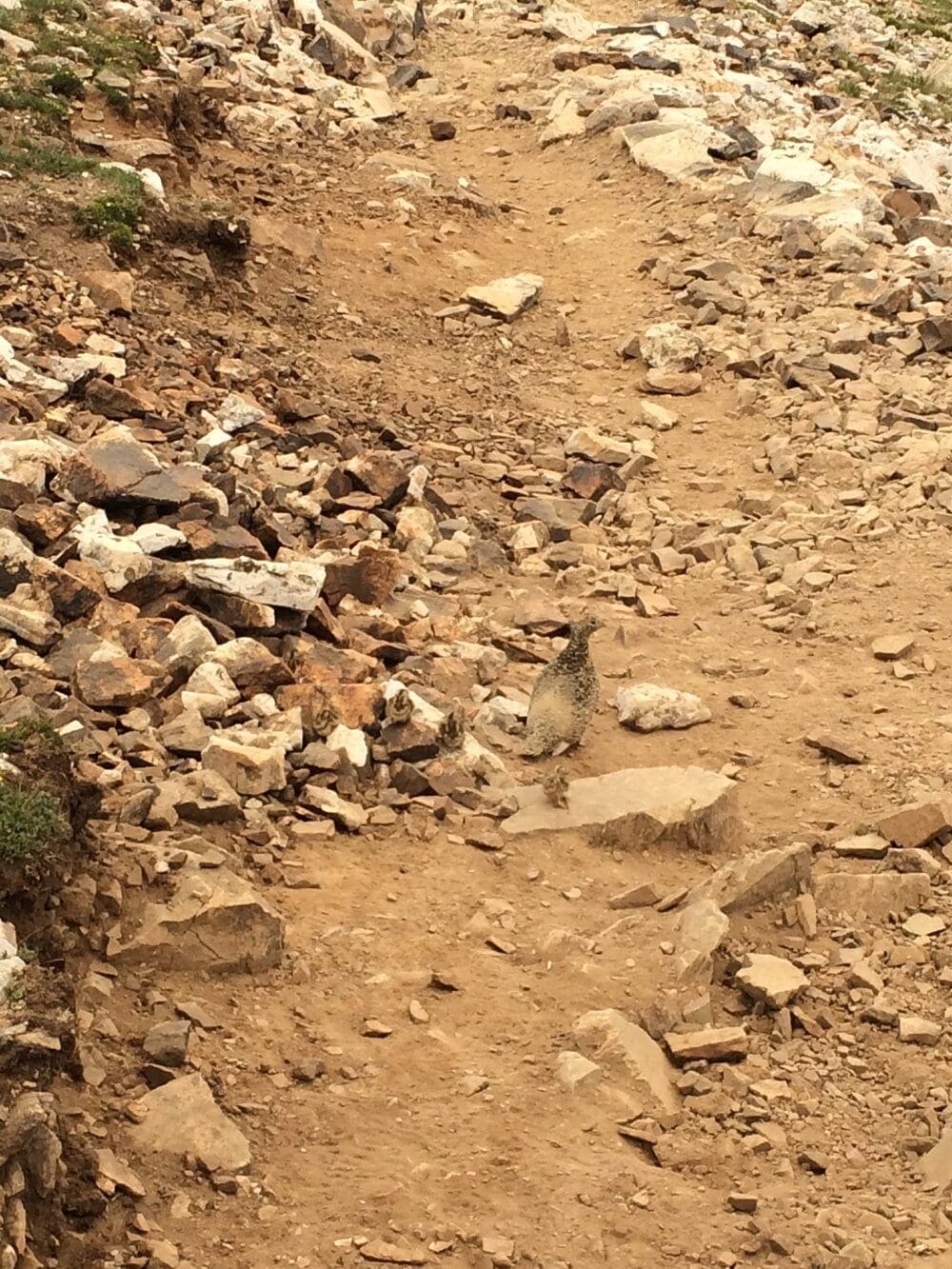

Photo 19. Ptarmigan and 4 babies (see if you can spot them)
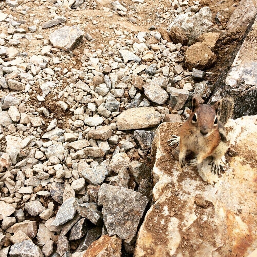

Photo 20. Nosy chipmunk
Shades of Quandary:
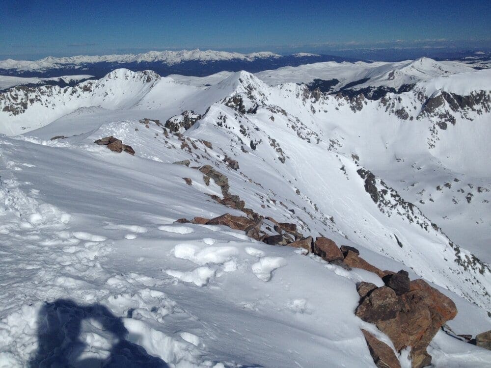

Photo 21: Summit ridge in full snow (May)
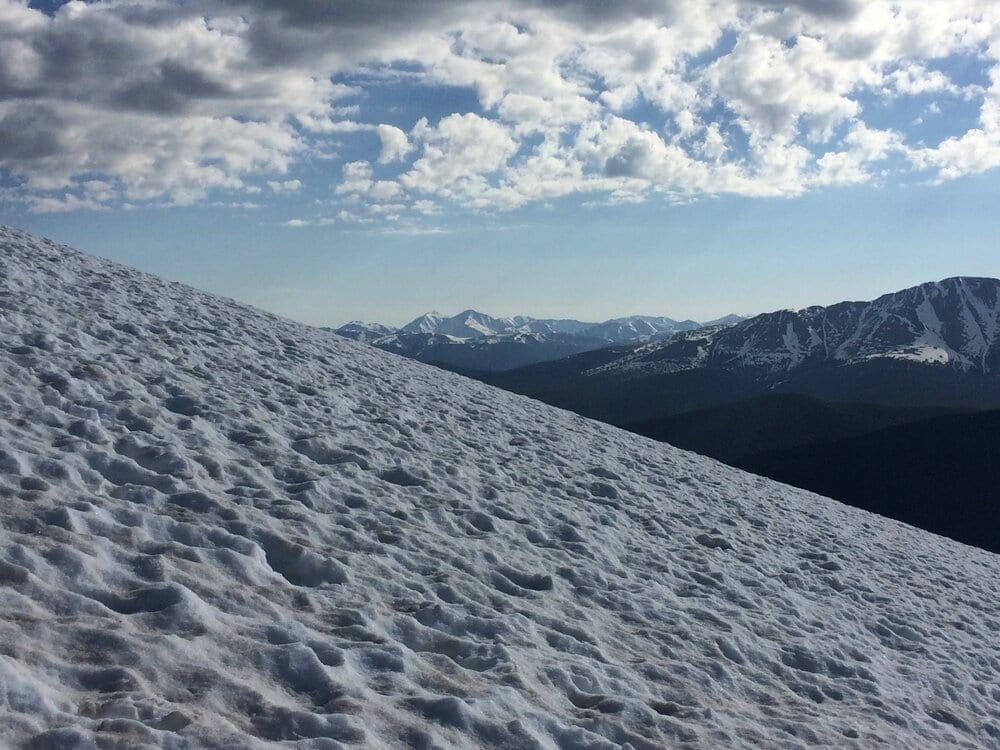

Photo 22: Snowy view of Grays/Torrey in early June
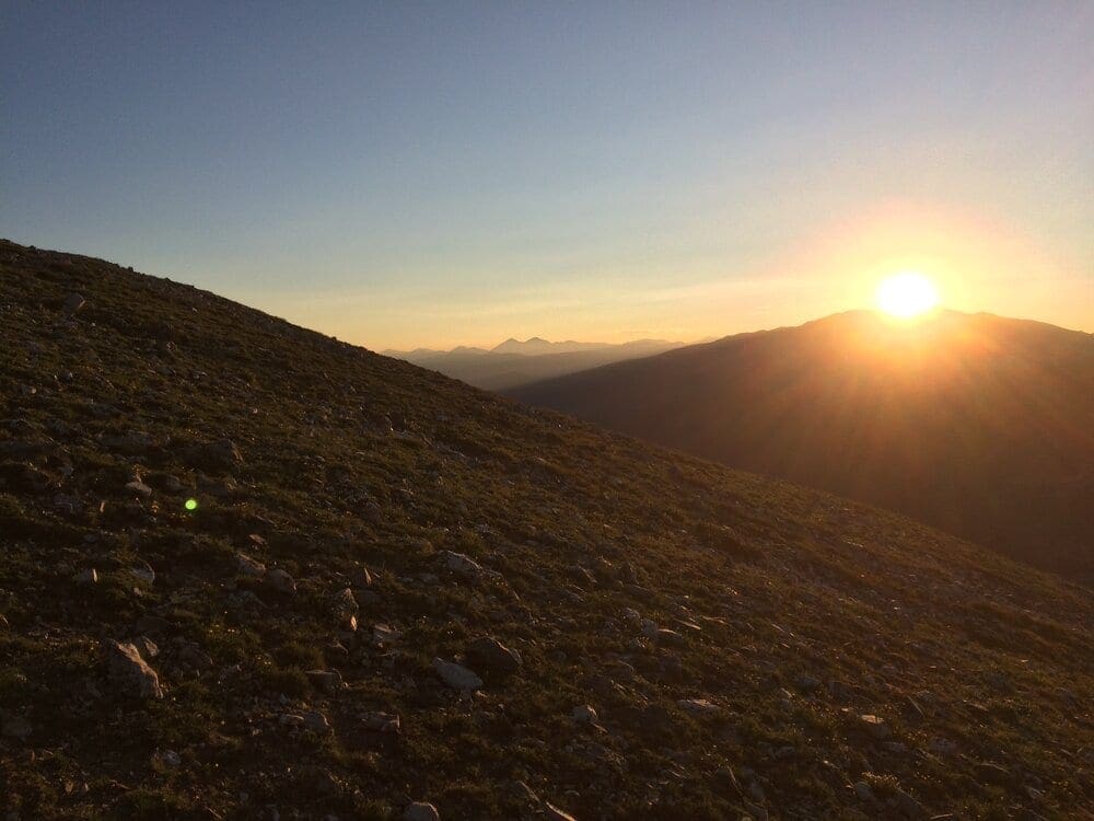

Photo 23: Bluebird morning for July 4th
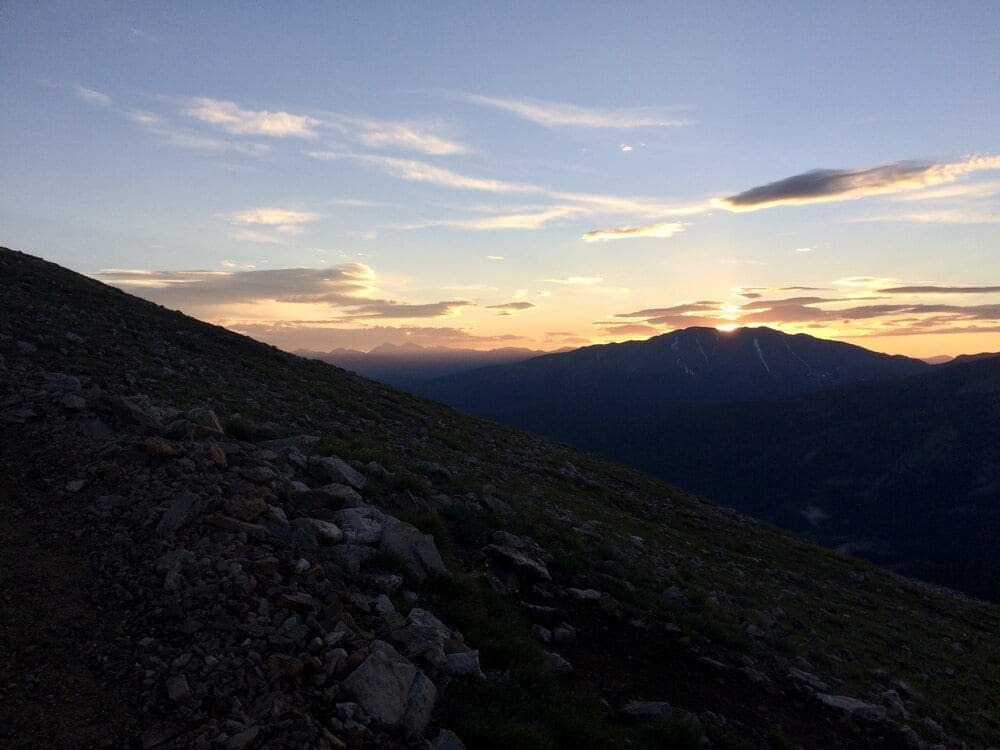

Photo 24: crazy sunrise July 11
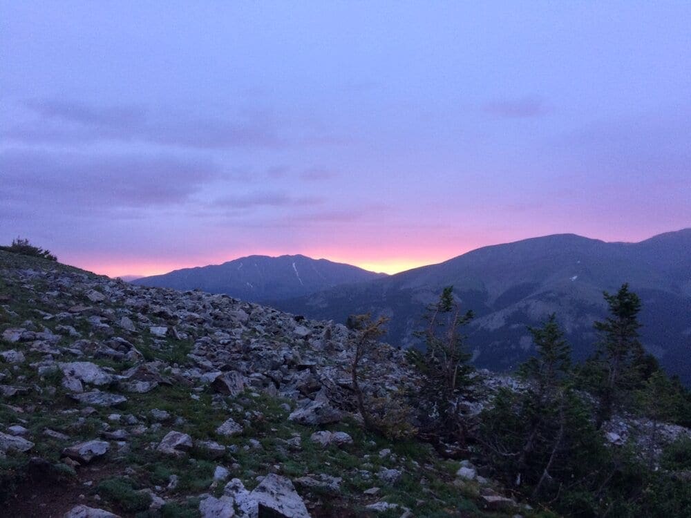

Photo 25: Angry morning July 25
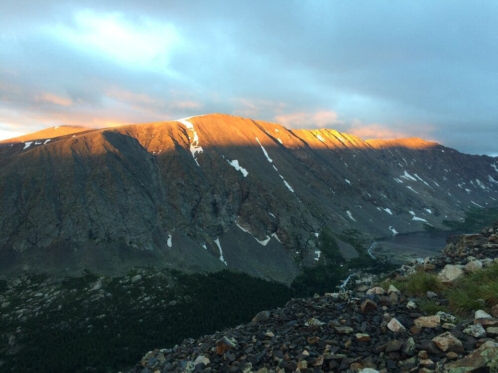

Photo 26: Alpenglow July26
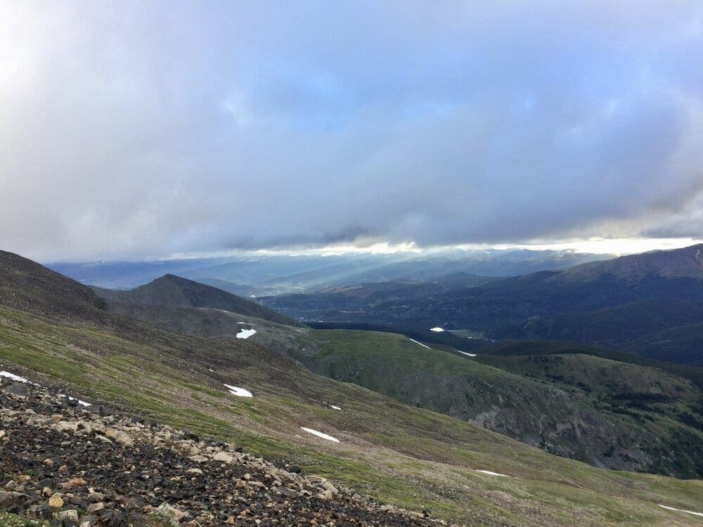

Photo 27: Light rays over summit county
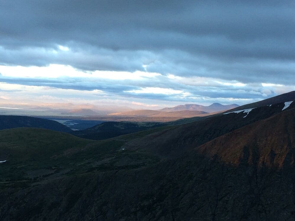

Photo 28: South past Hoosier pass to South Park
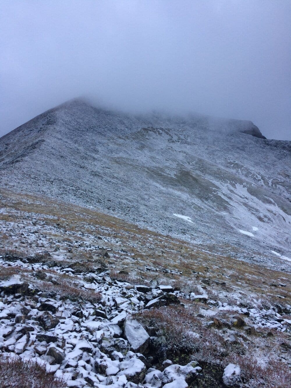

Photo 29: Surprise snowstorm August 16
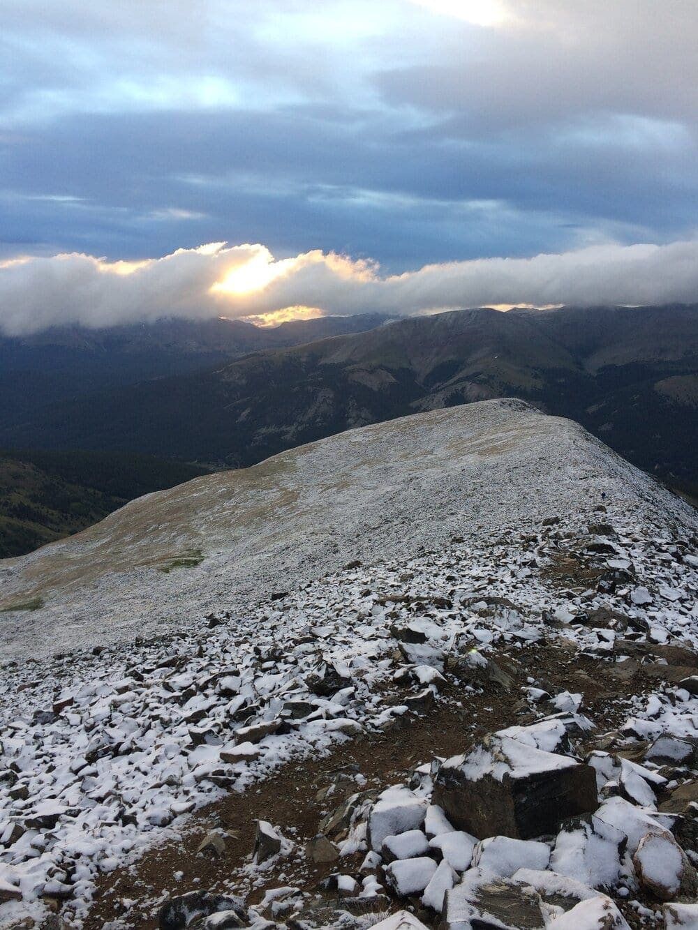

Photo 30: Same snowstorm, looking down trail
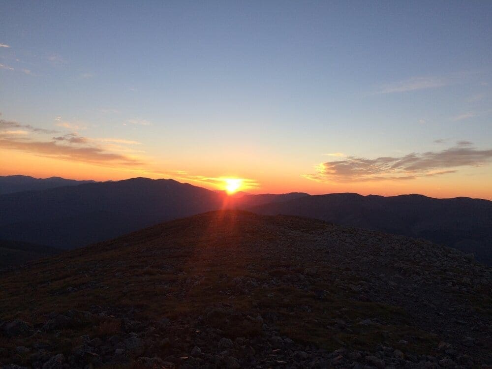

Photo 31: Great sunrise August 22
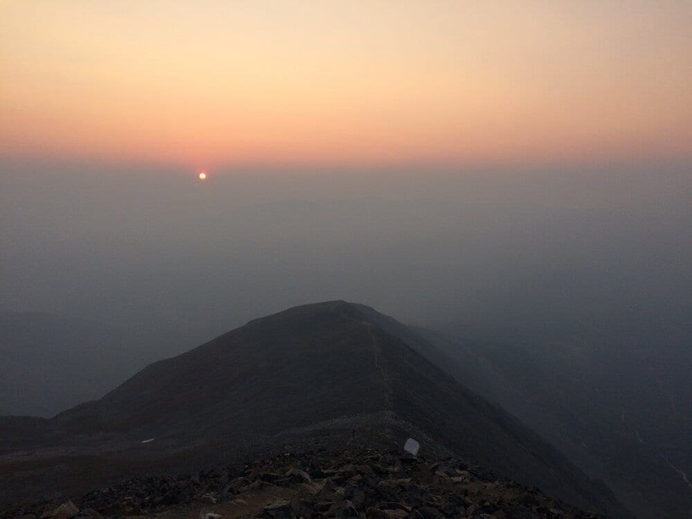

Photo 32: Sunrise through forest fire smoke September 5
Terms of Use: As with each guide published on SKYBLUEOVERLAND.com, should you choose to this route, do so at your own risk. Prior to setting out check current local weather, conditions, and land/road closures. While taking a trail, obey all public and private land use restrictions and rules, carry proper safety and navigational equipment, and of course, follow the #leavenotrace guidelines. The information found herein is simply a planning resource to be used as a point of inspiration in conjunction with your own due-diligence. In spite of the fact that this route, associated GPS track (GPX and maps), and all route guidelines were prepared under diligent research by the specified contributor and/or contributors, the accuracy of such and judgement of the author is not guaranteed. SKYBLUE OVERLAND LLC, its partners, associates, and contributors are in no way liable for personal injury, damage to personal property, or any other such situation that might happen to individuals following this route.


