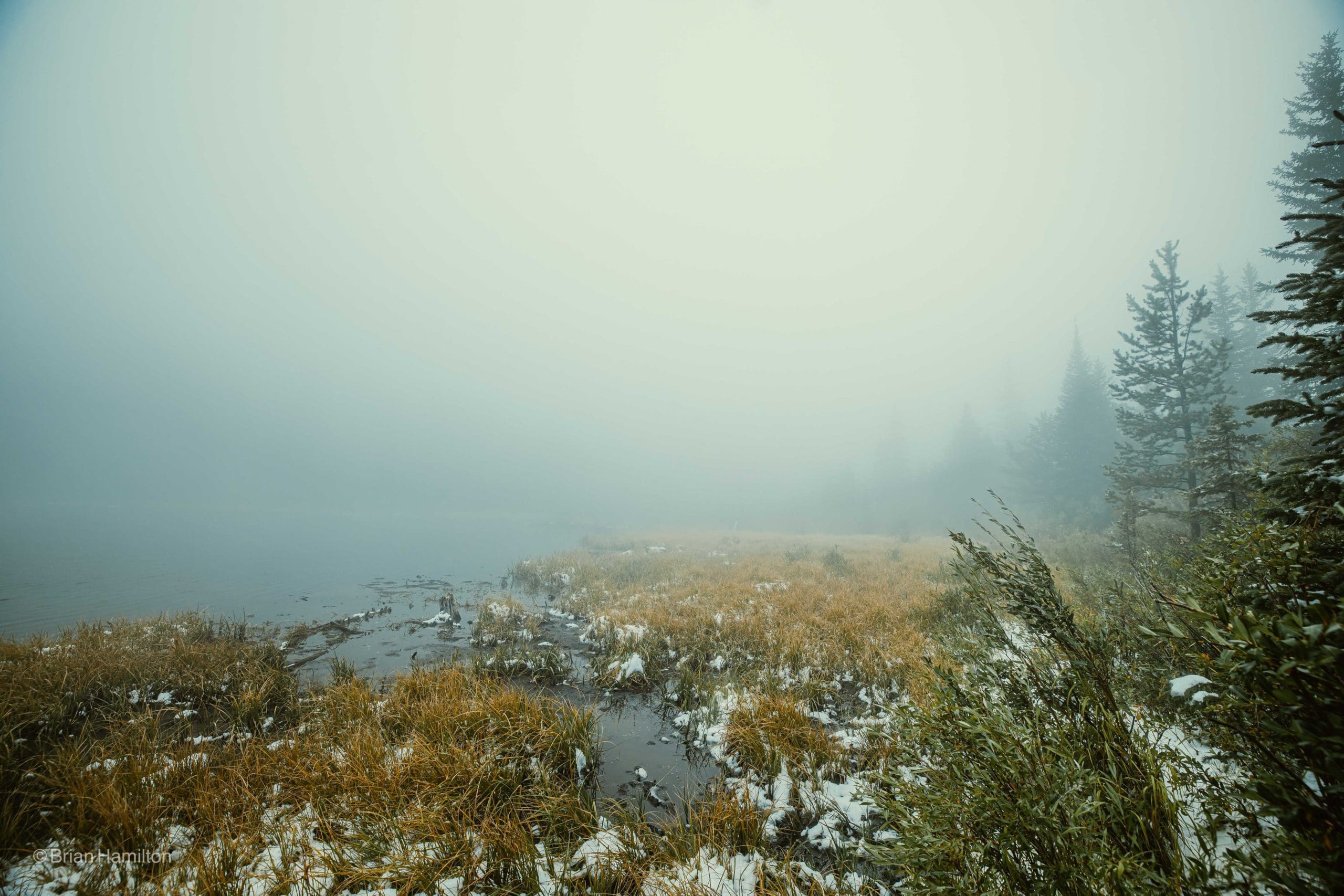
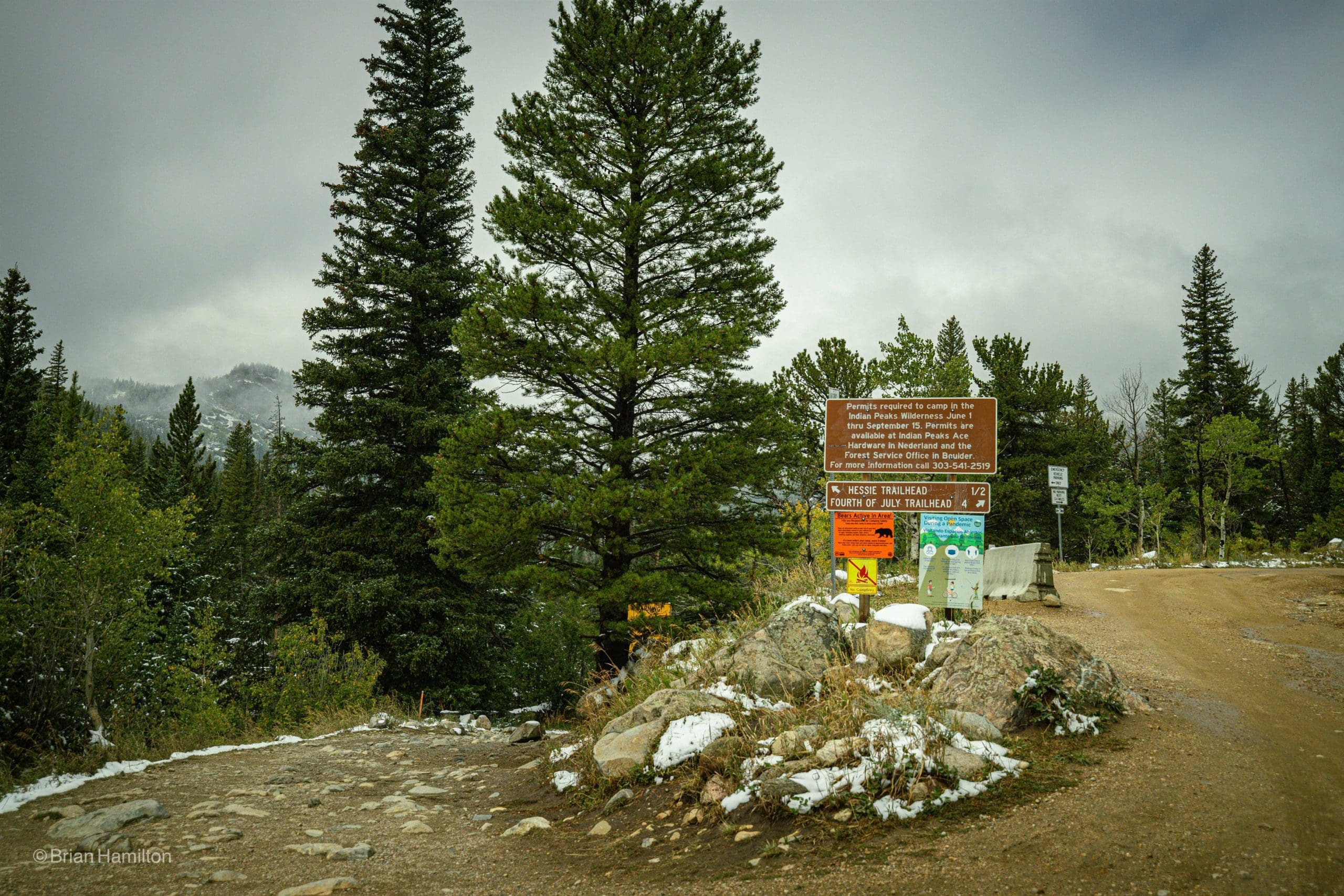
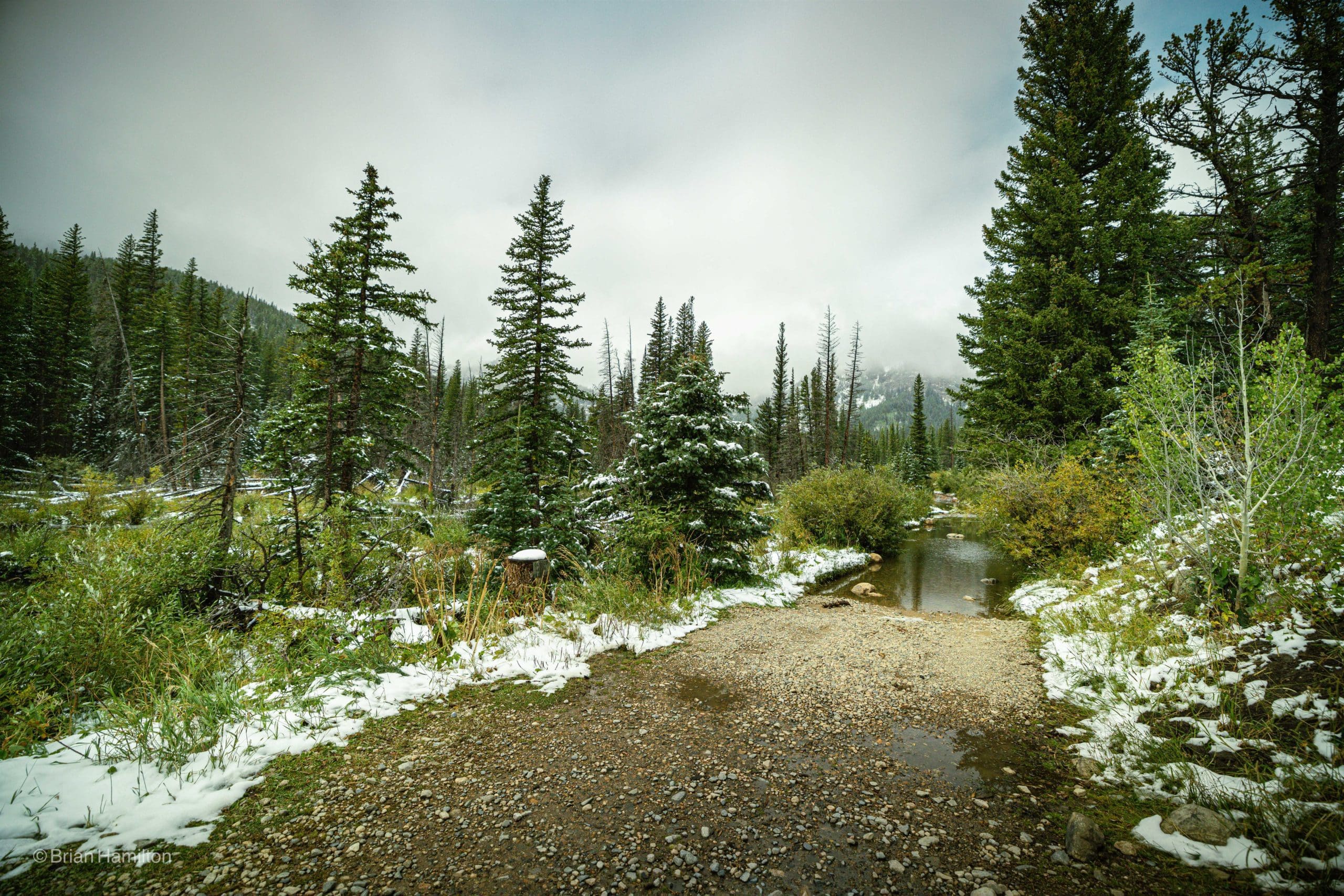
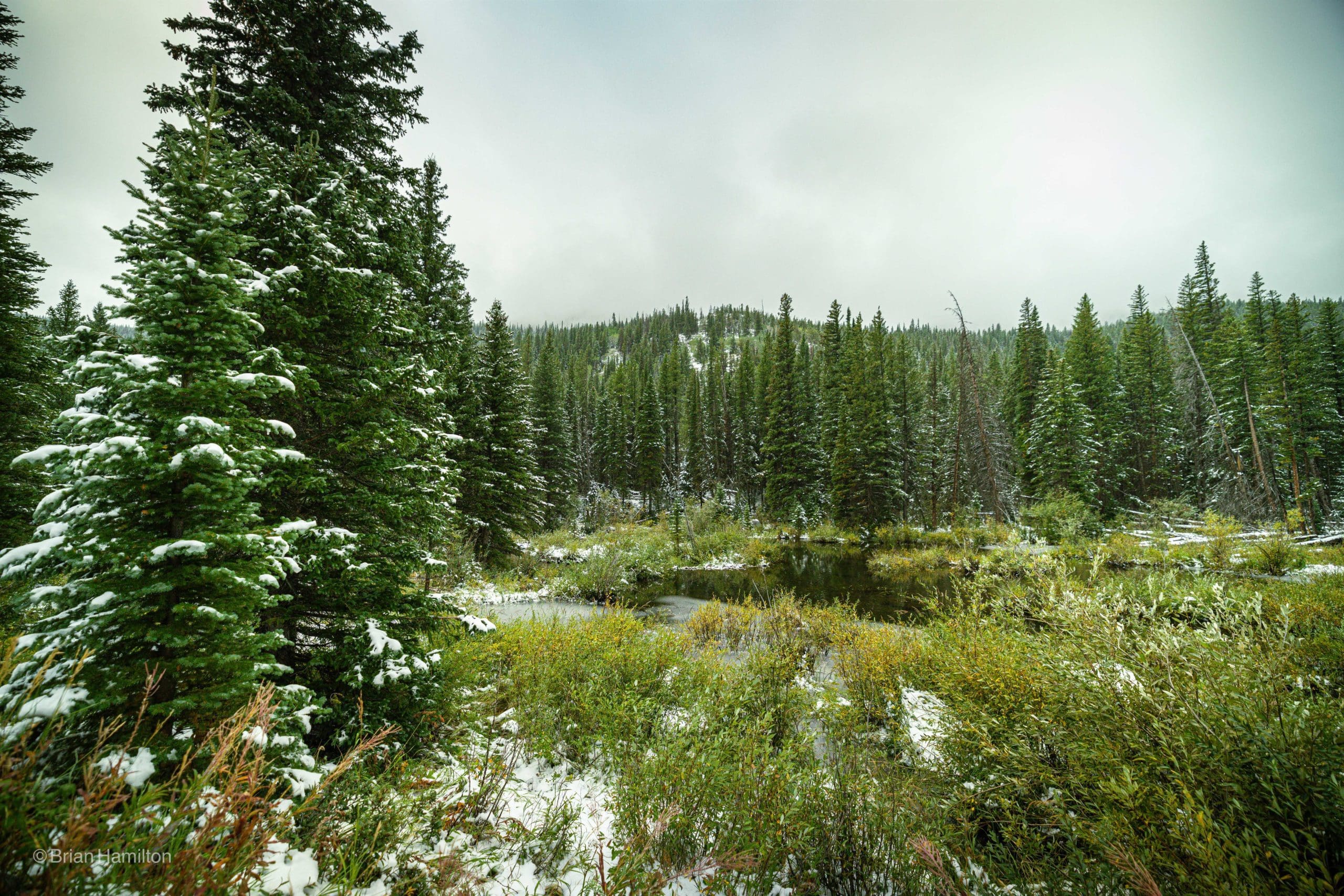
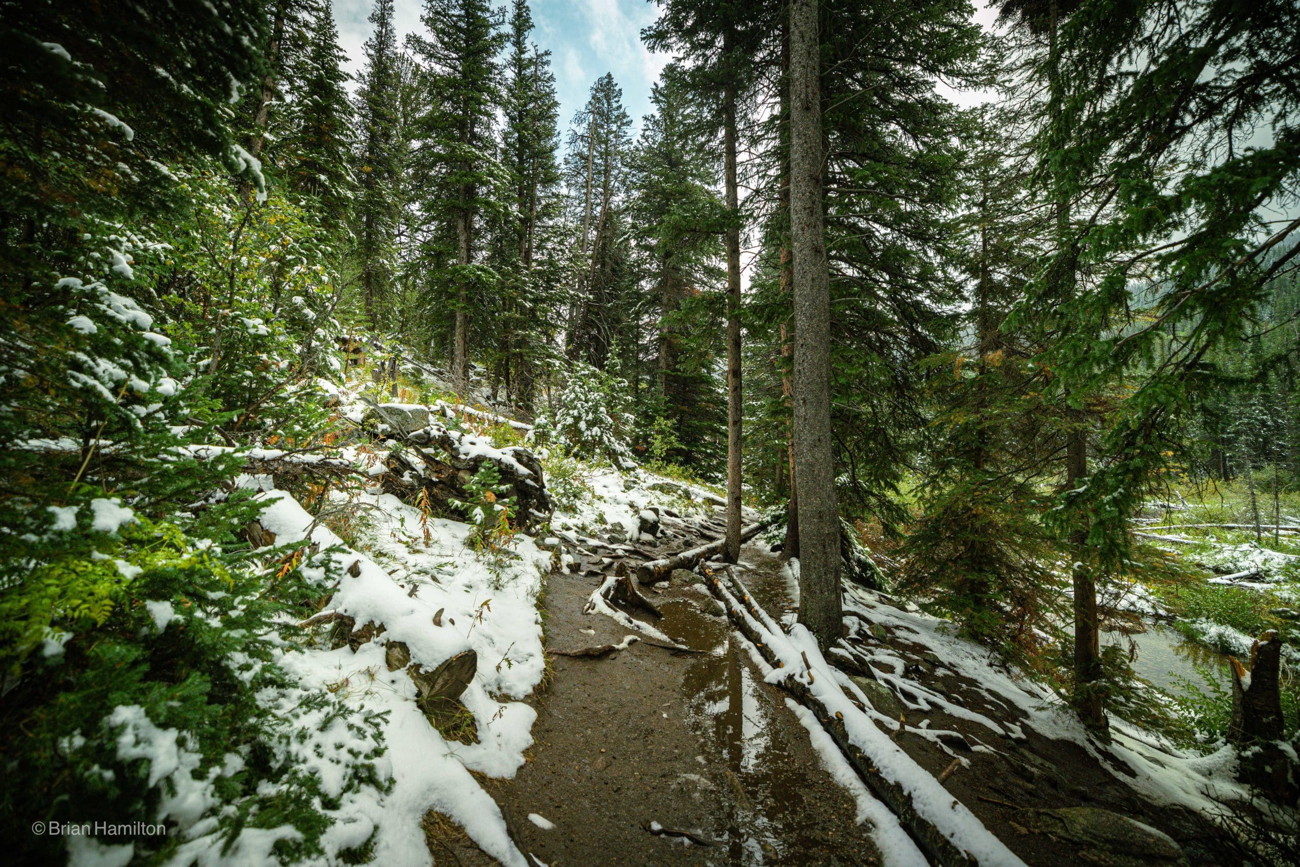
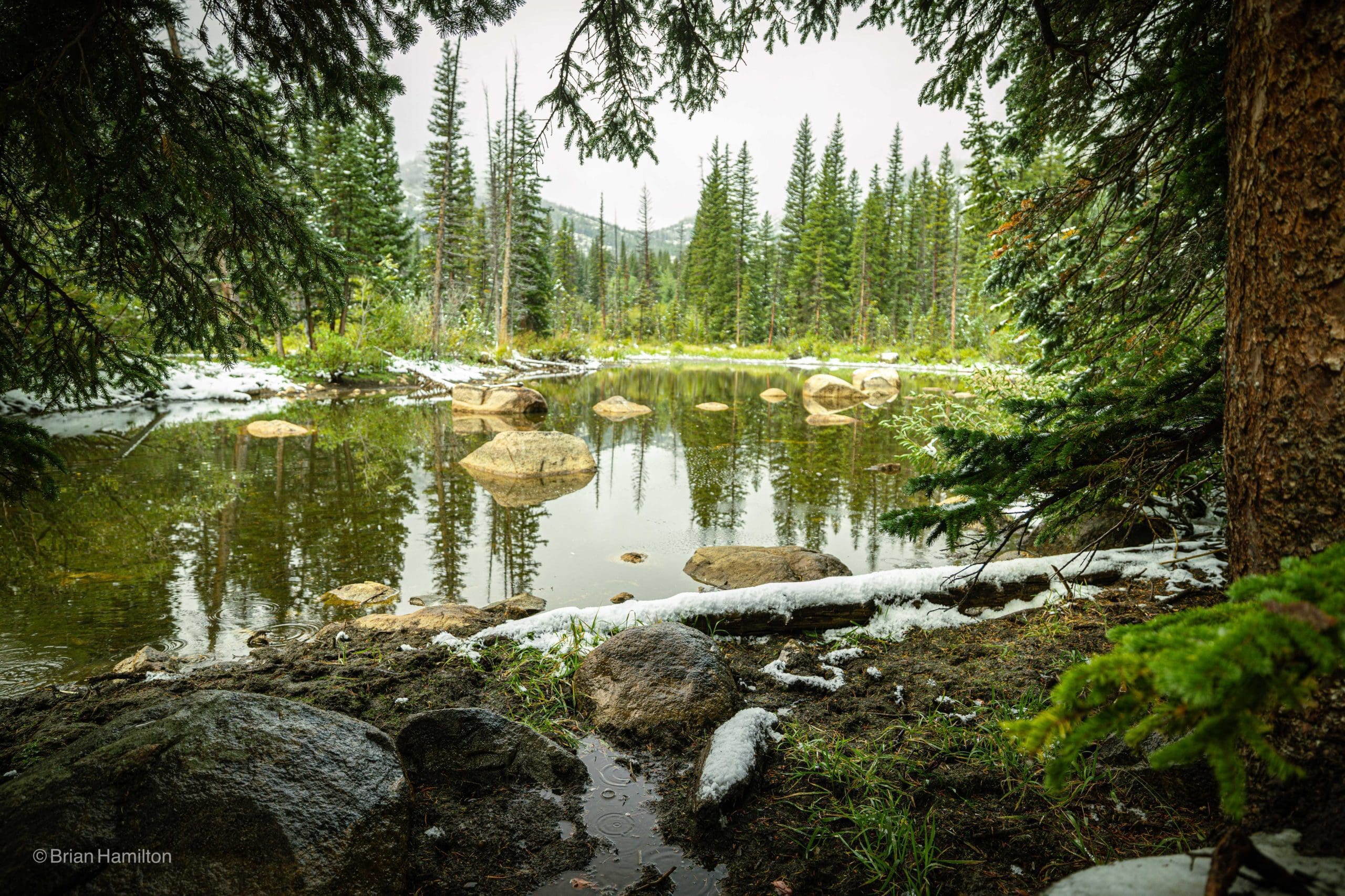
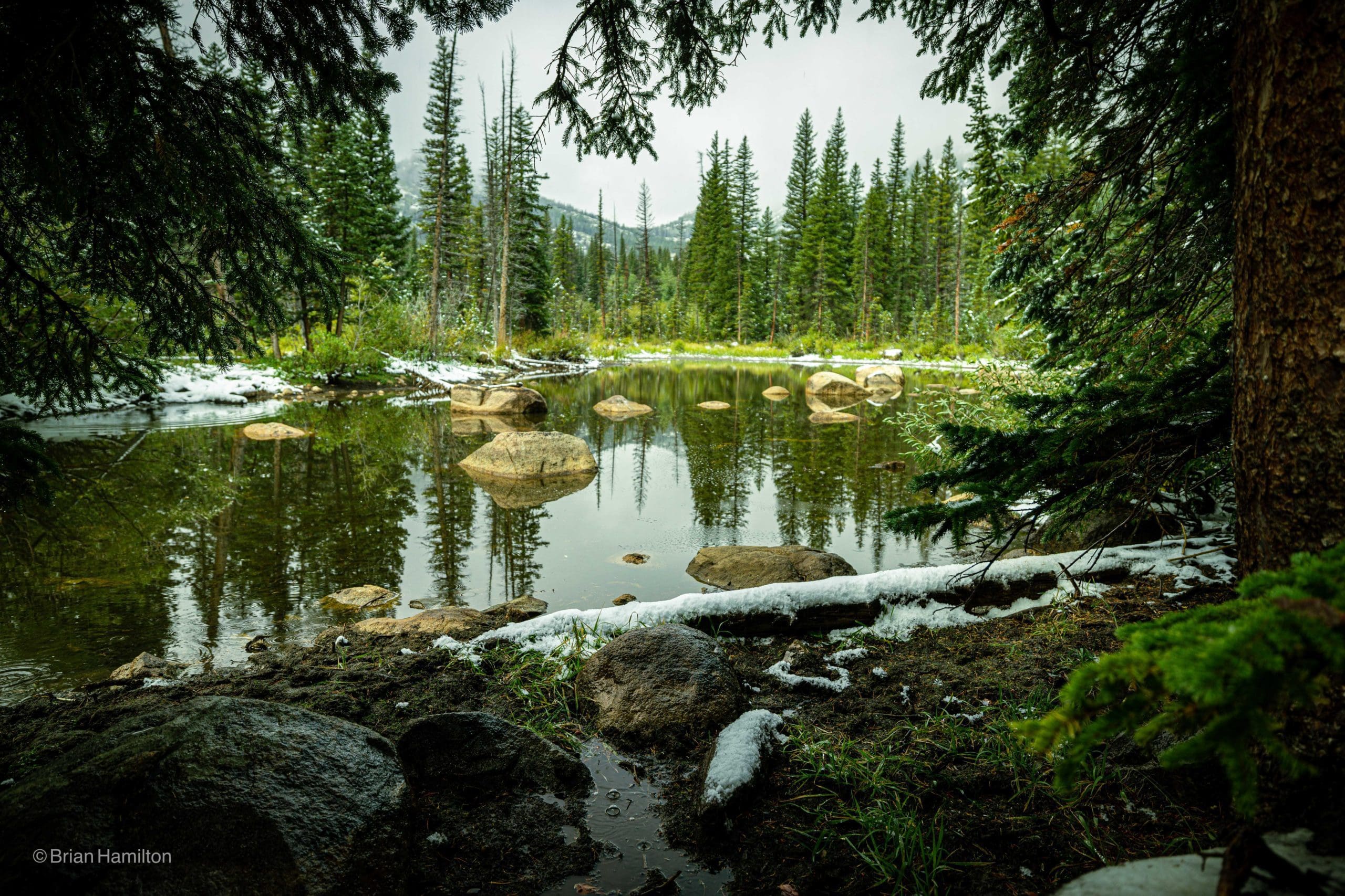
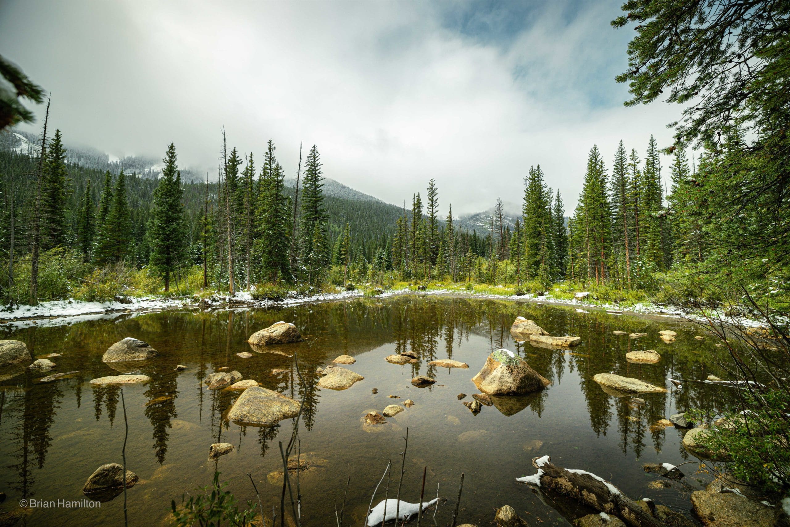
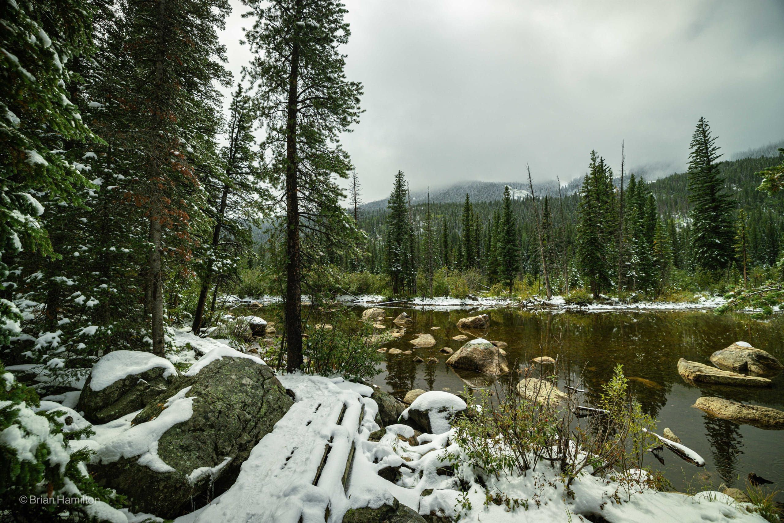
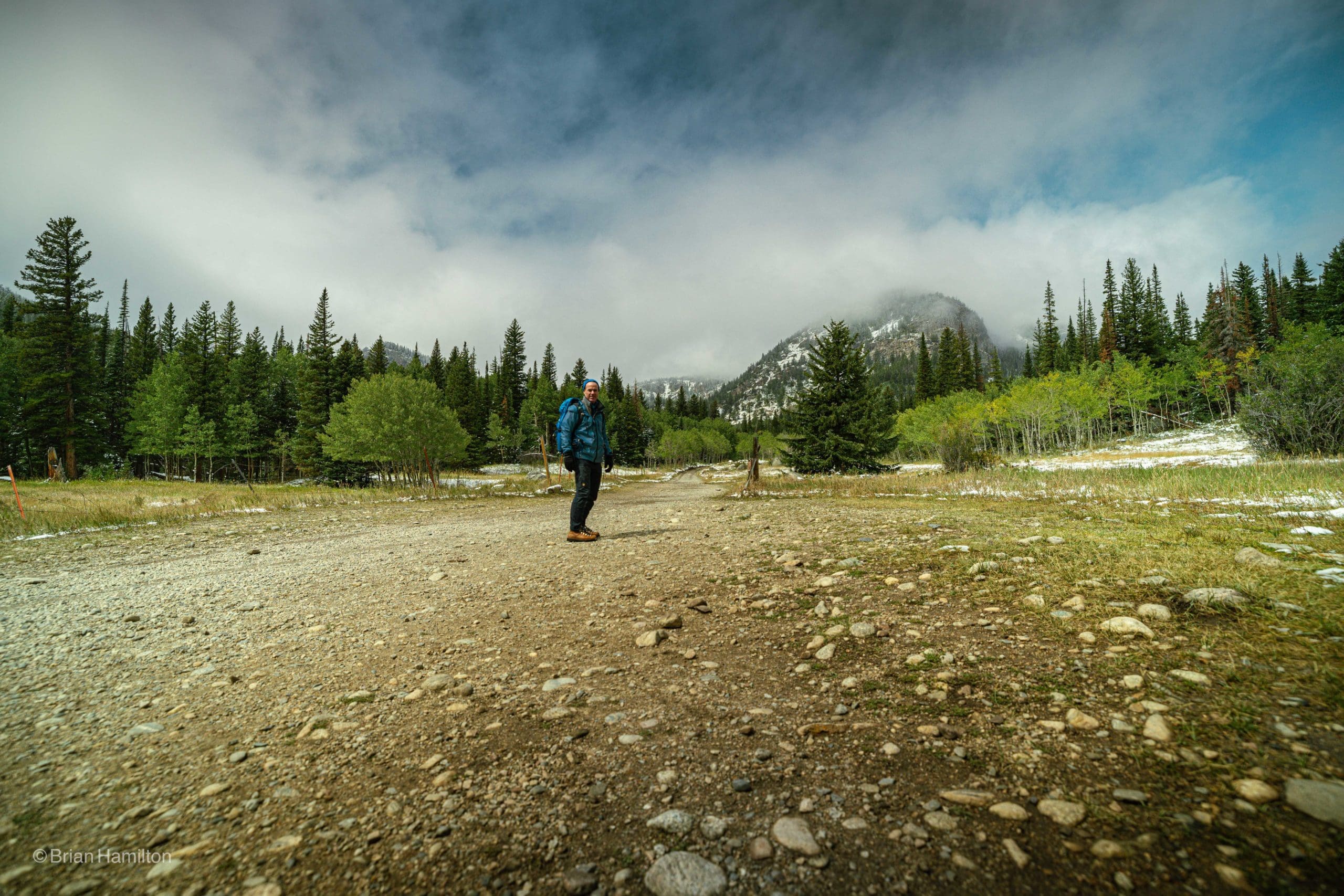
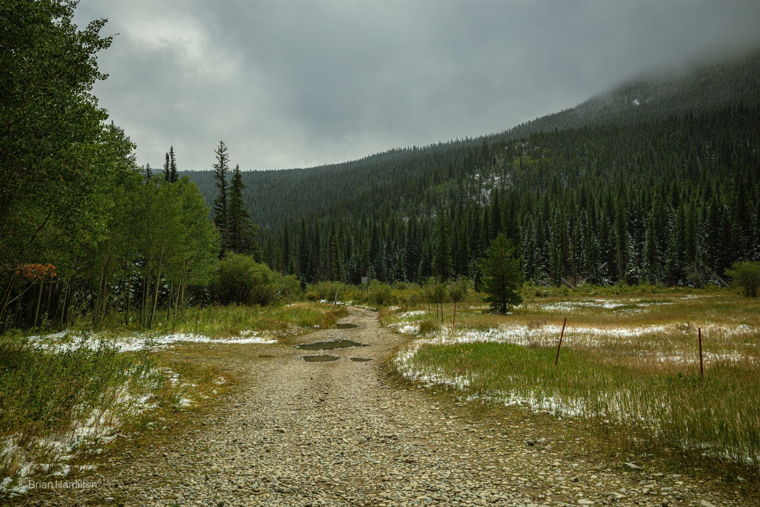
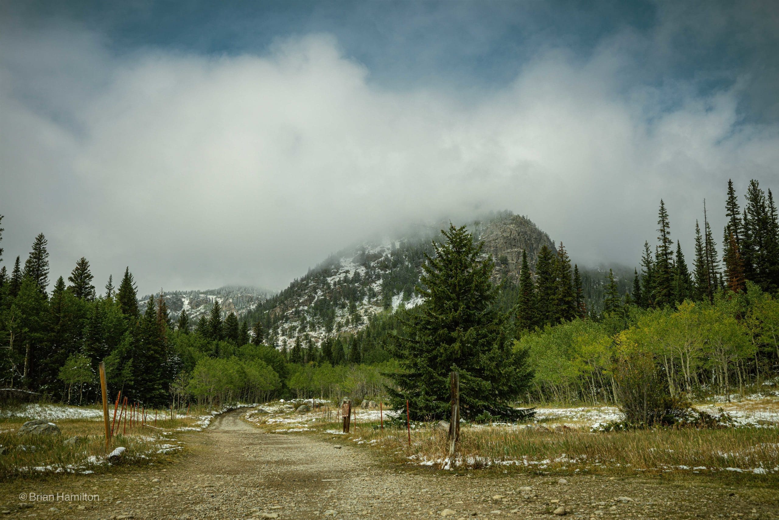
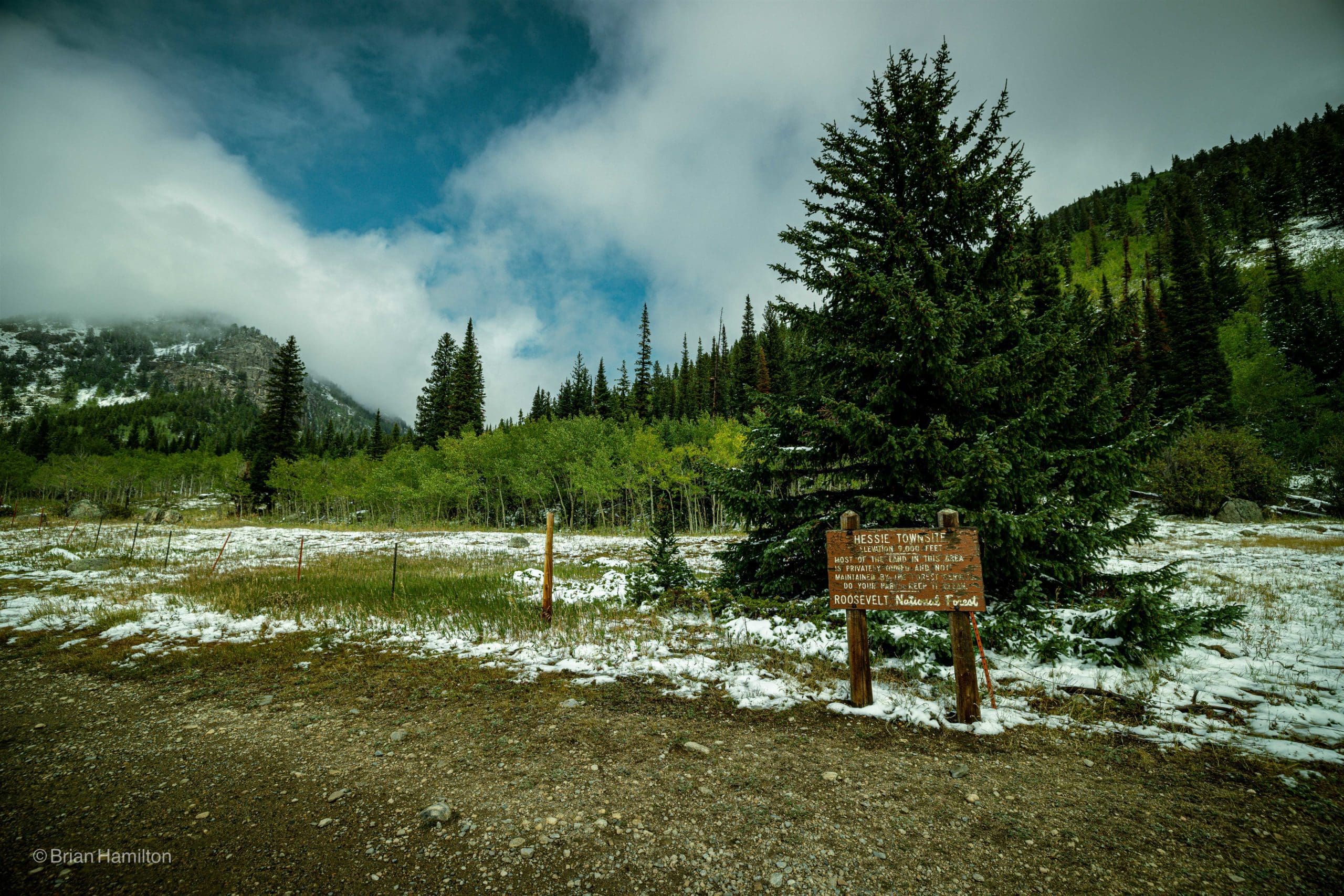
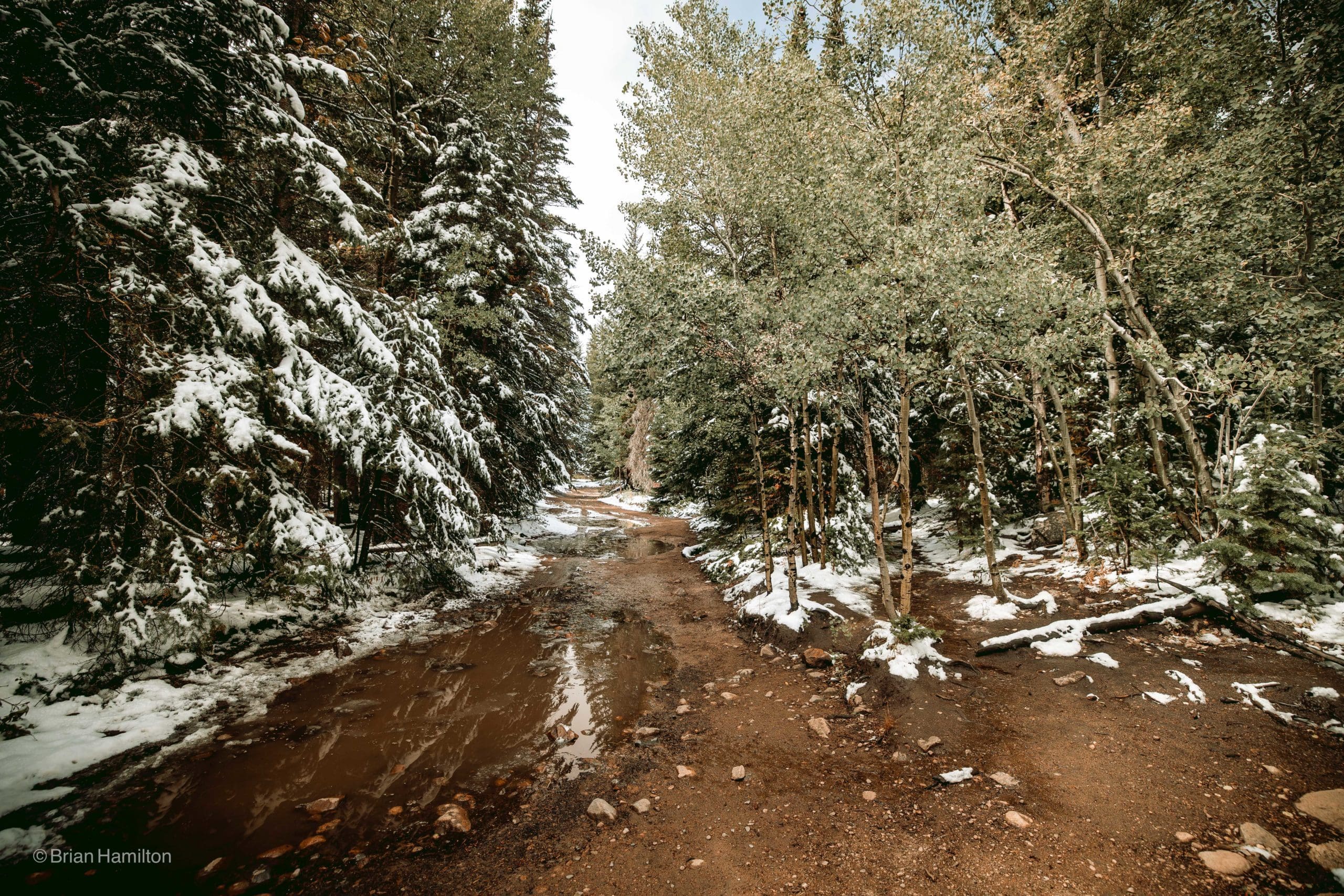
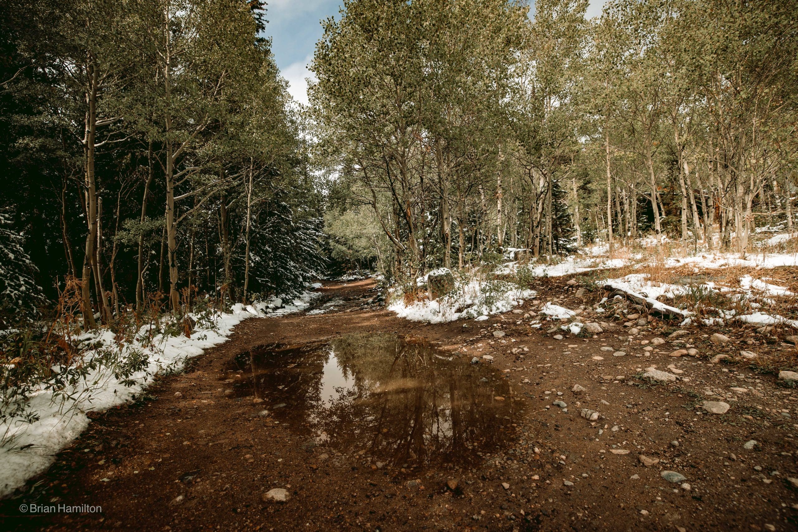
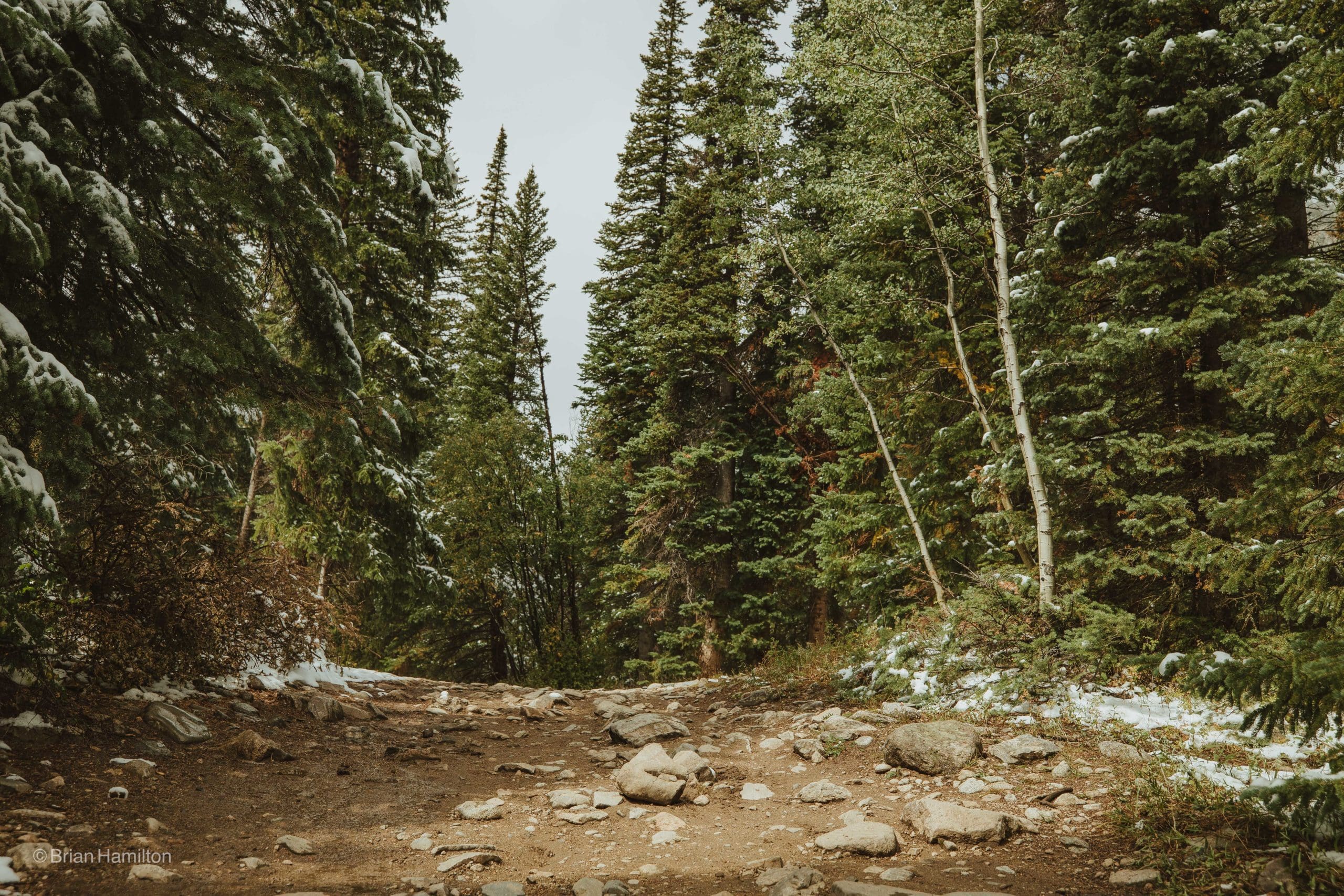
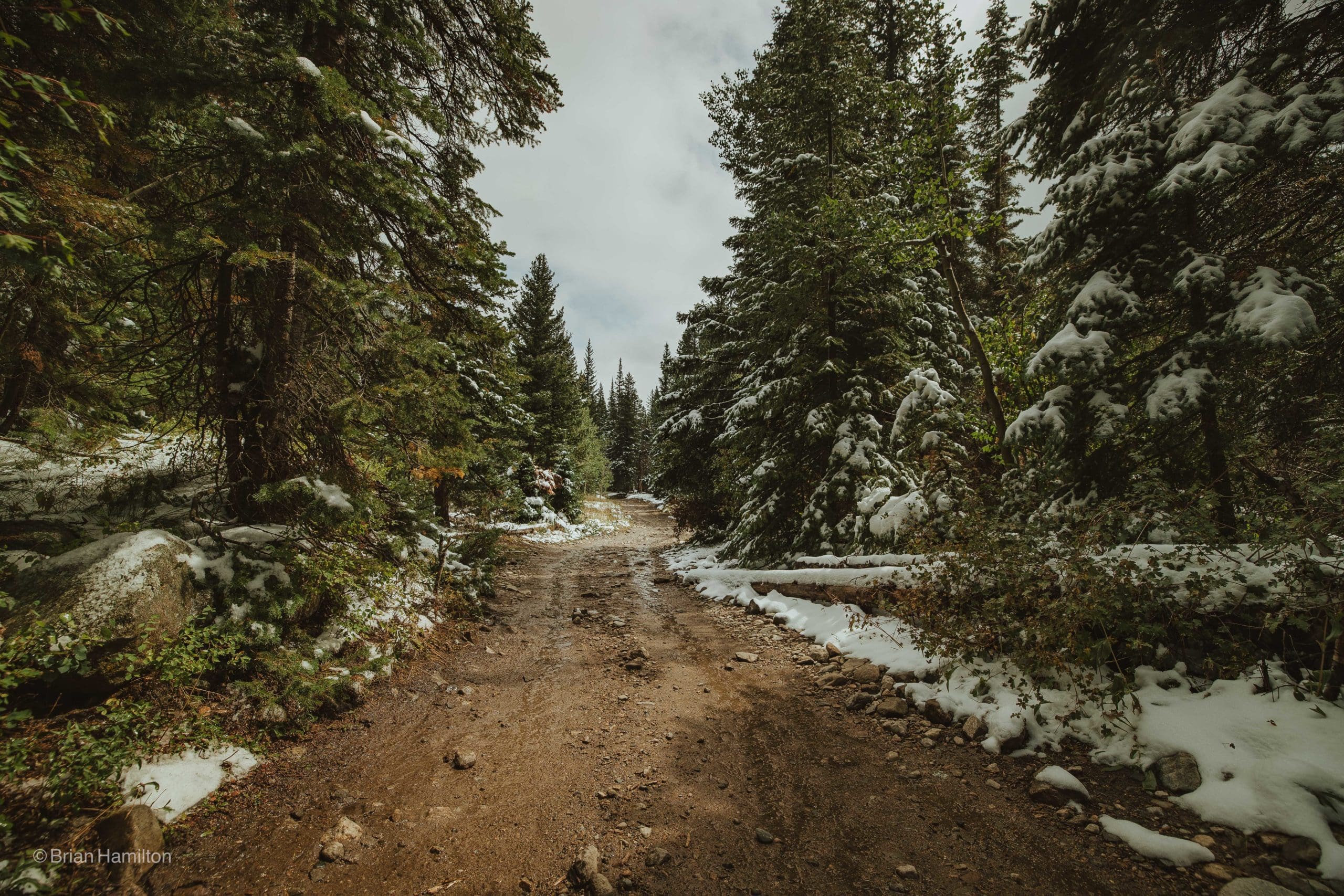
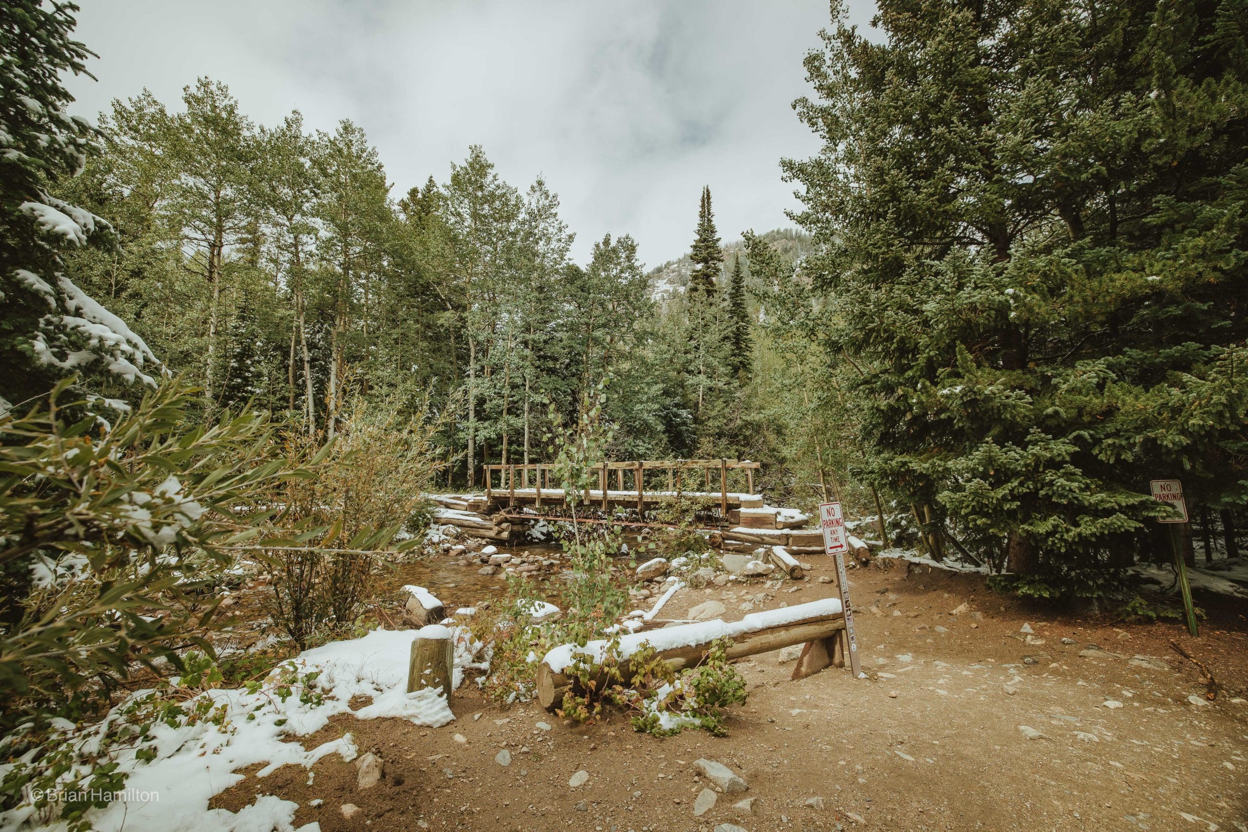
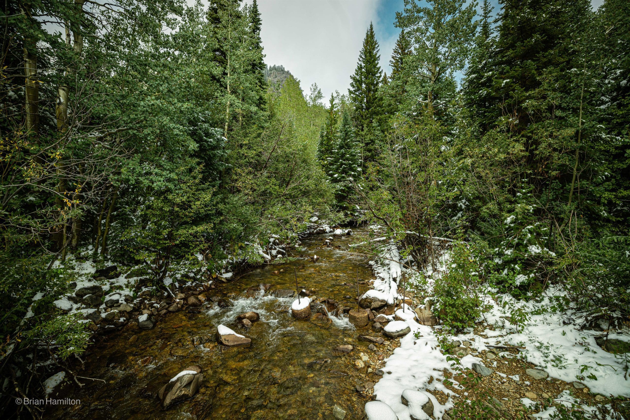
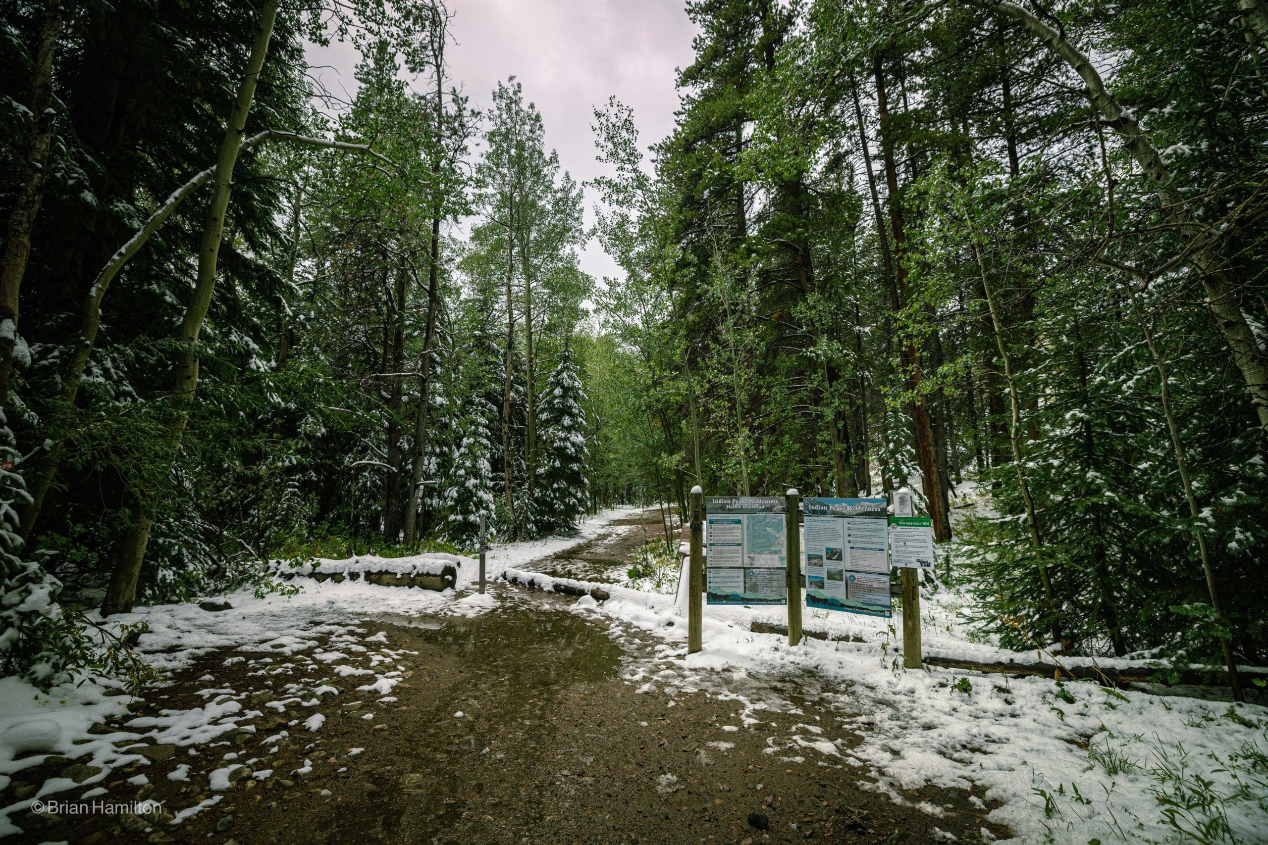
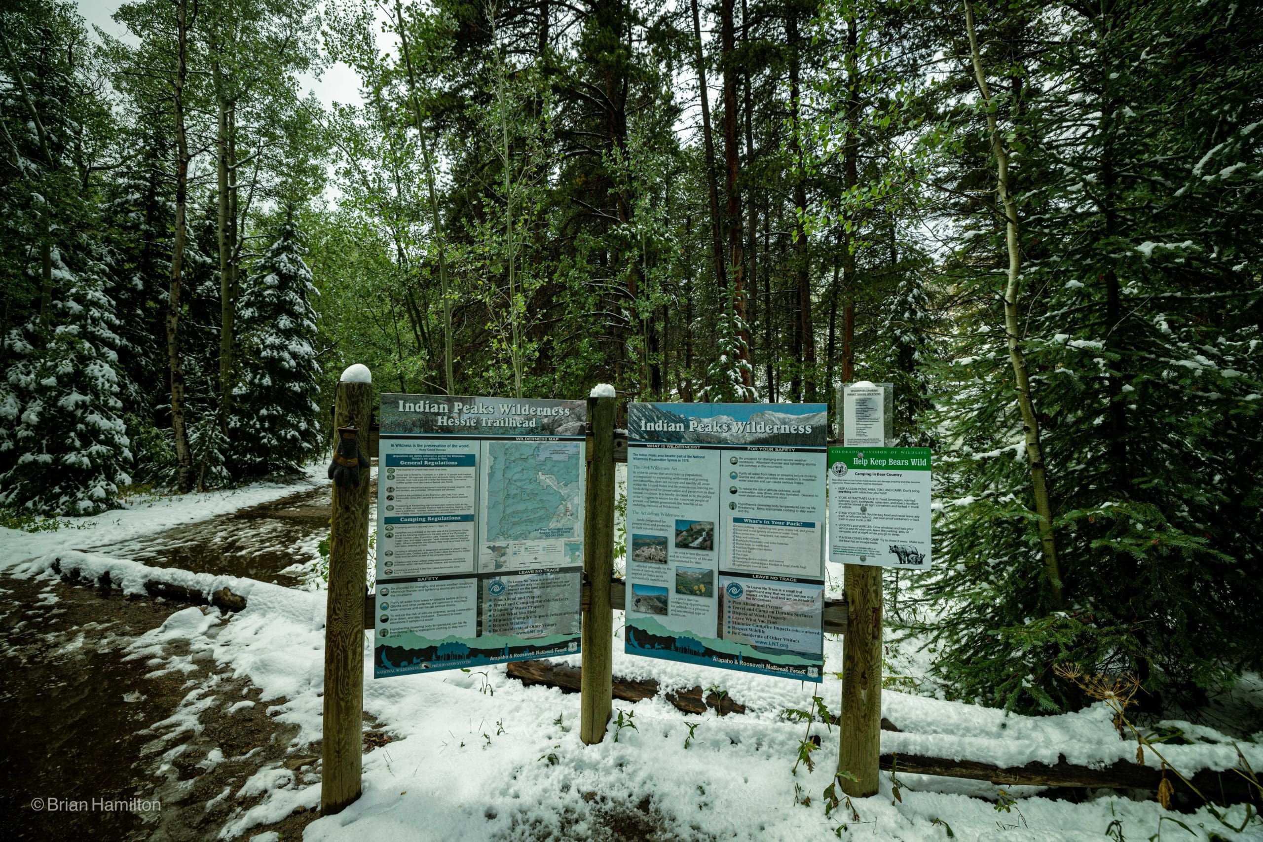
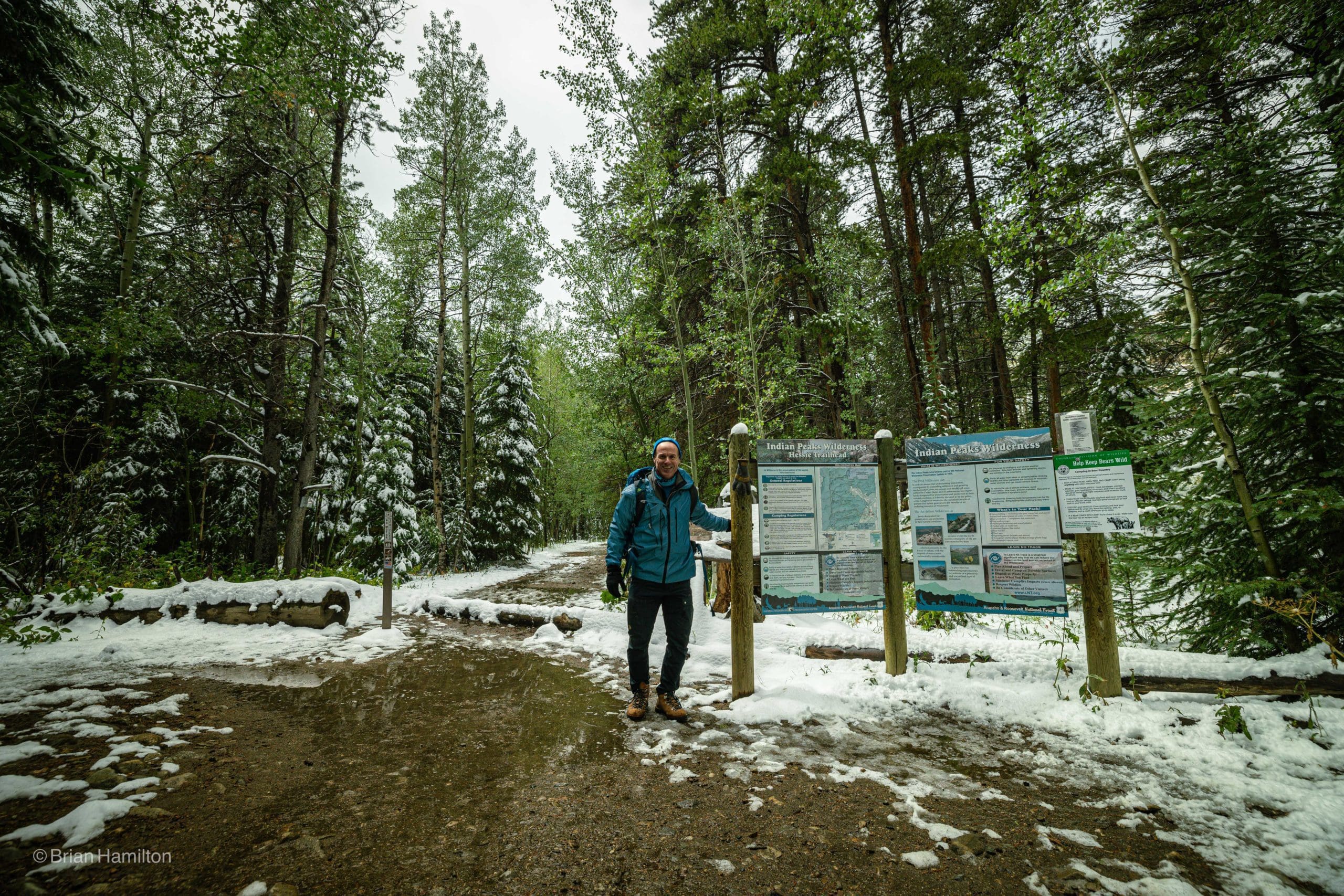
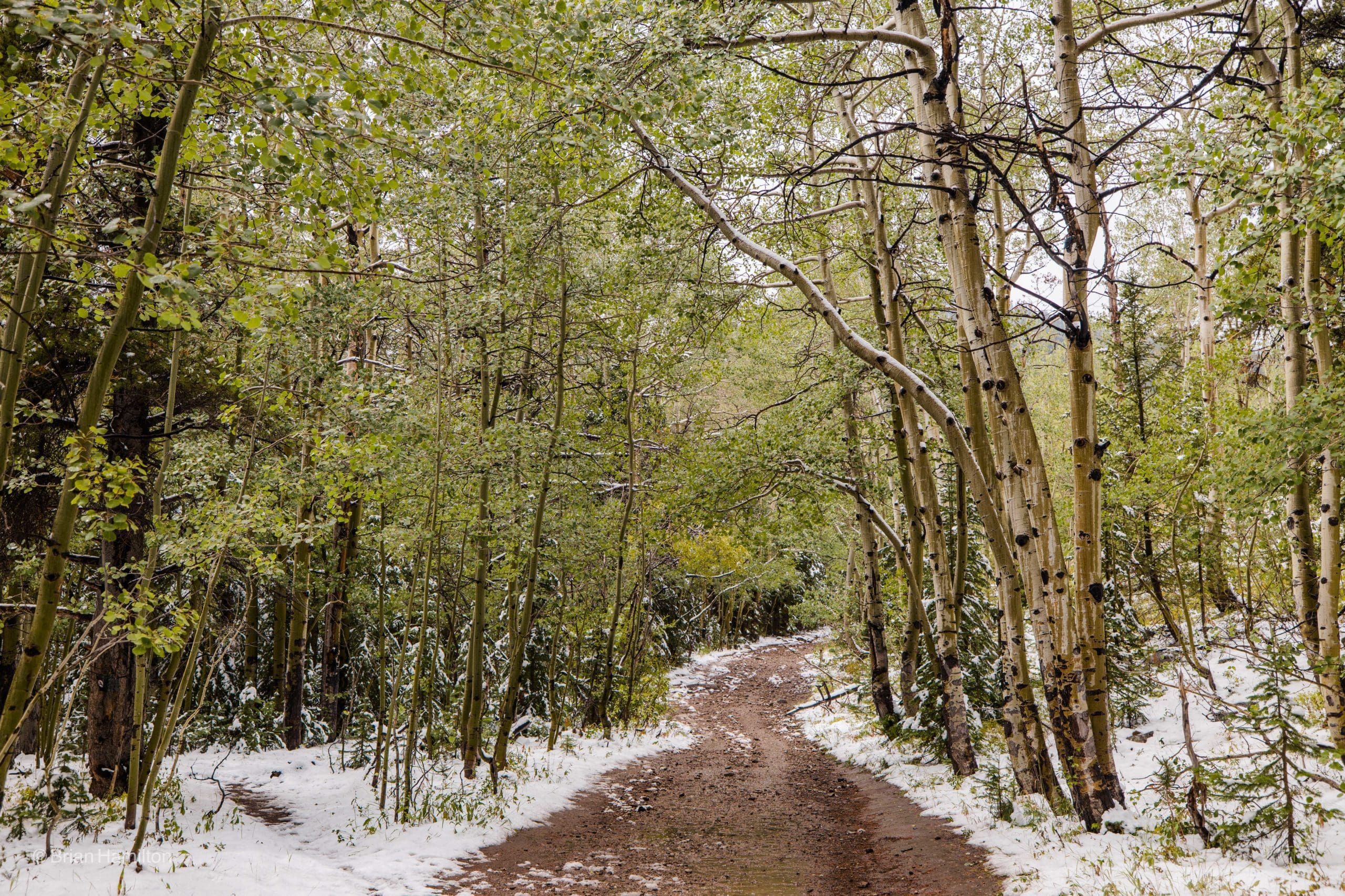
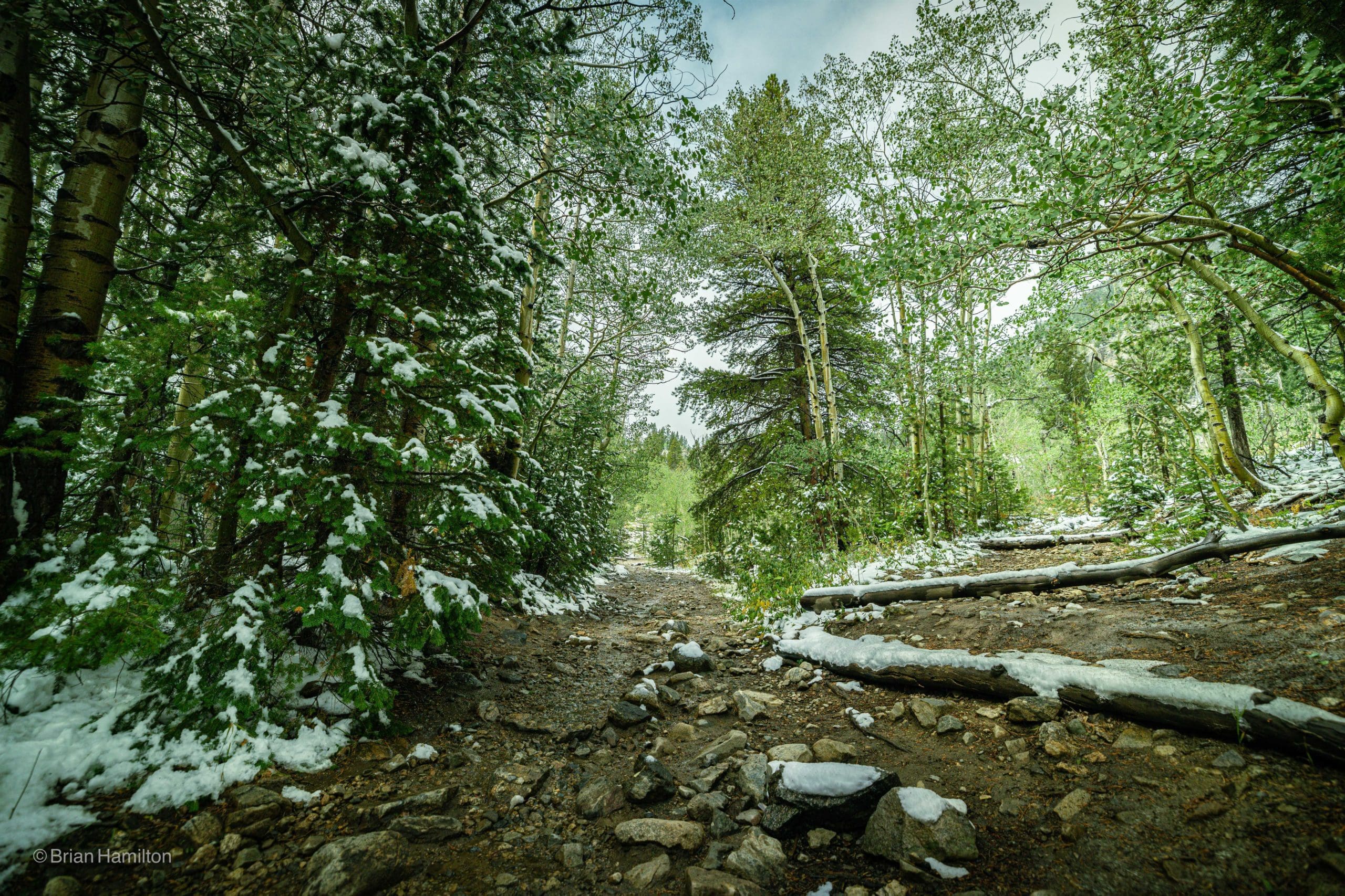
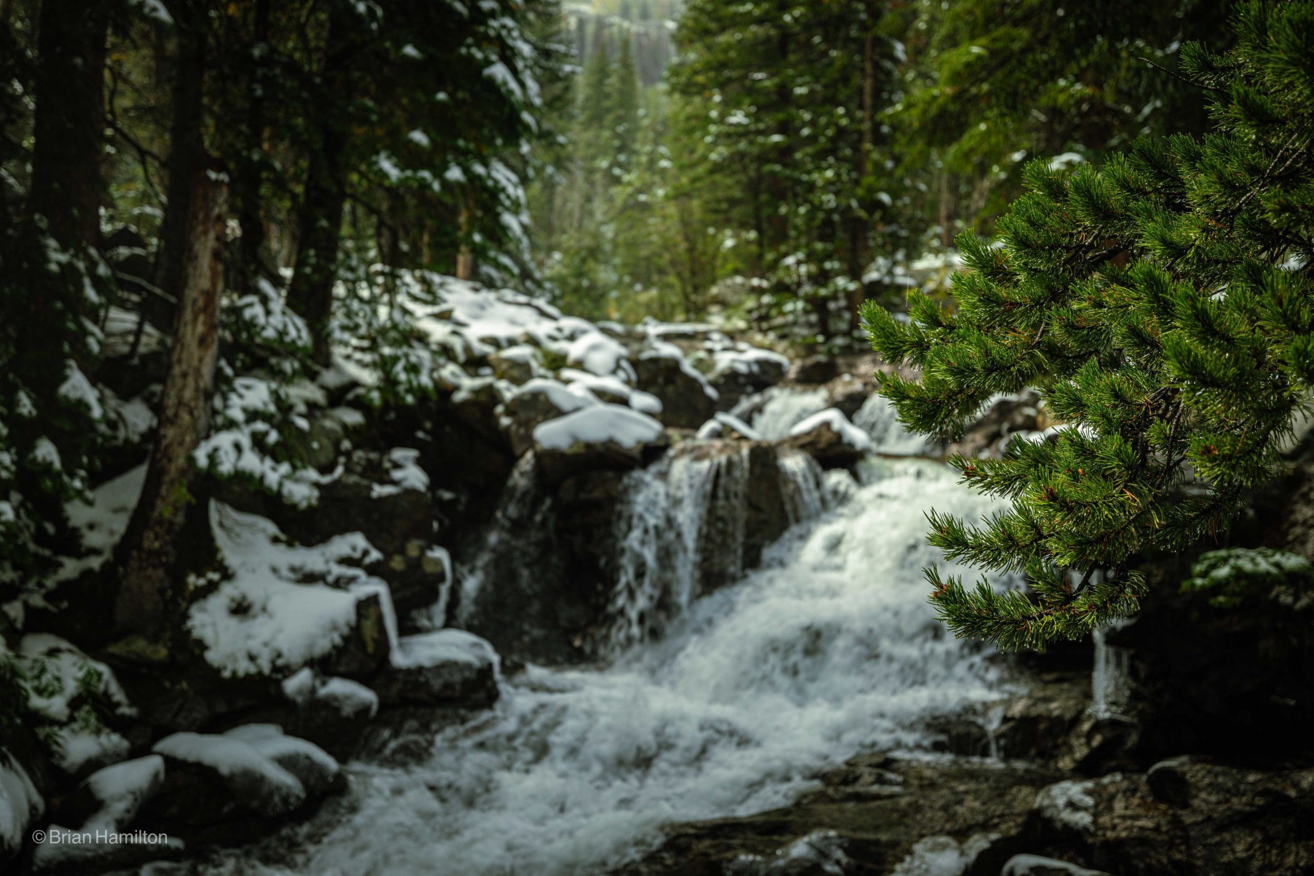
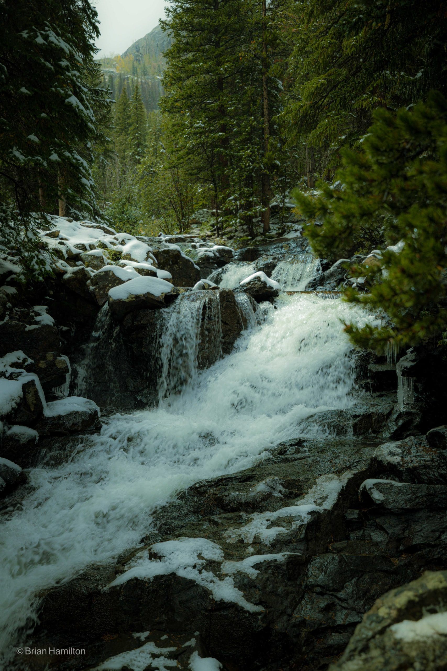
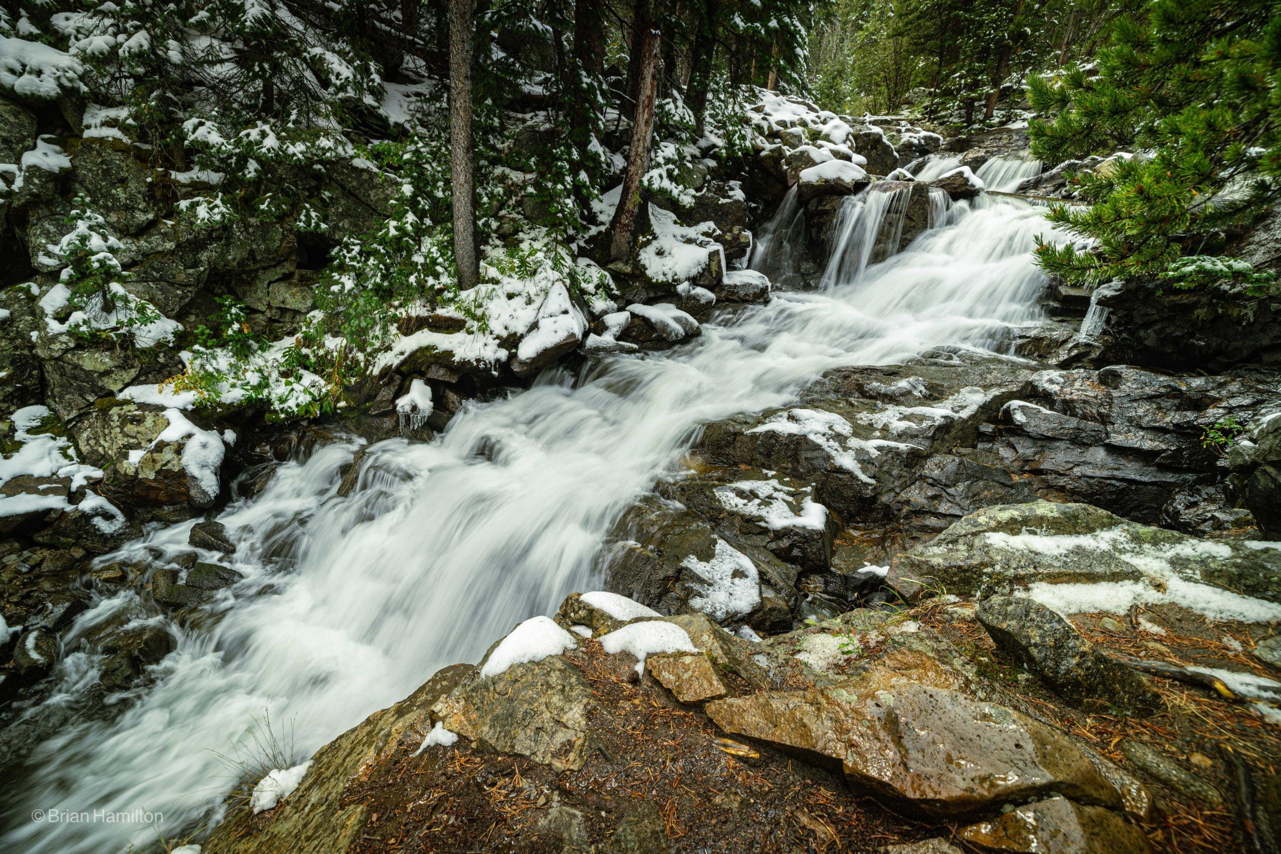
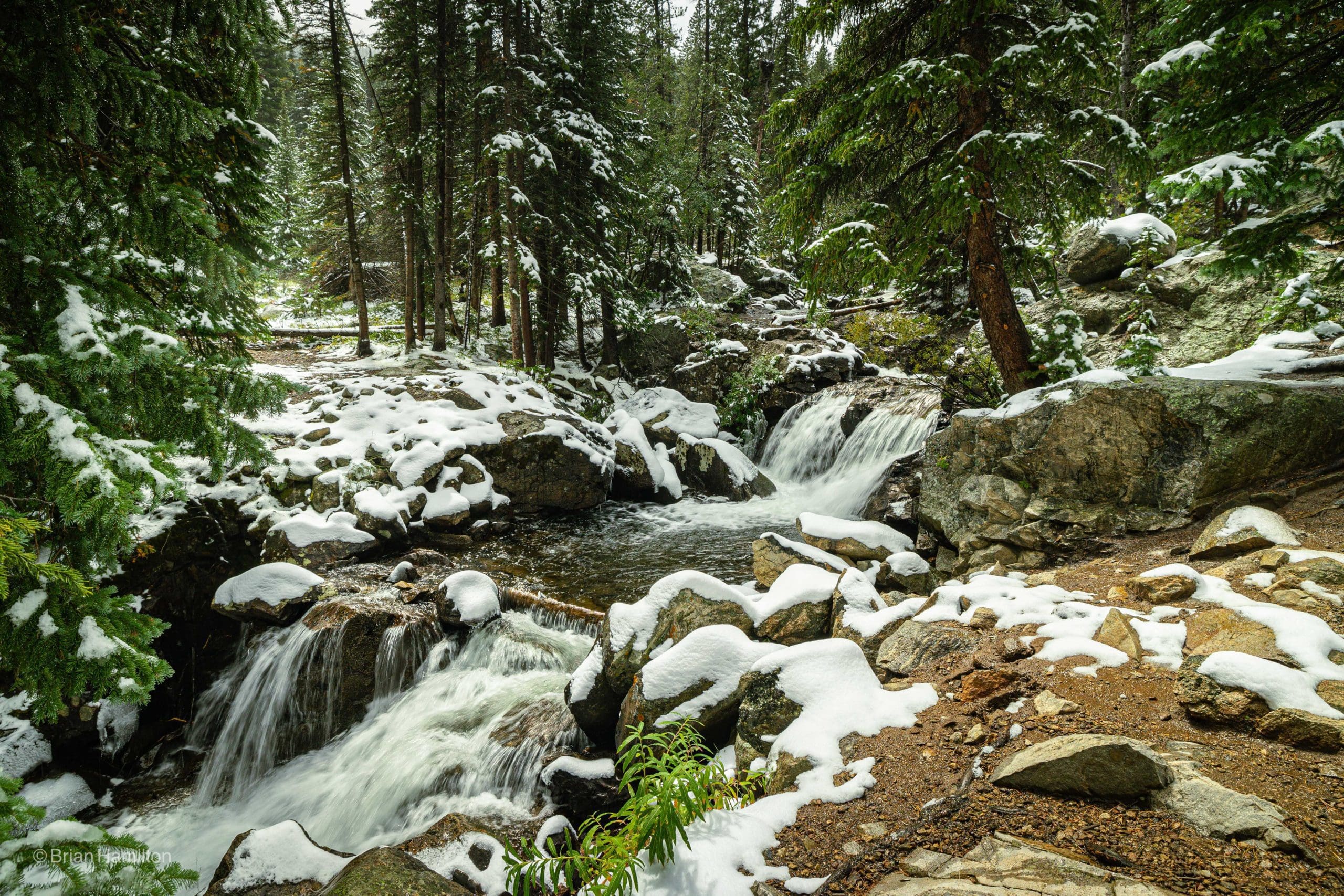
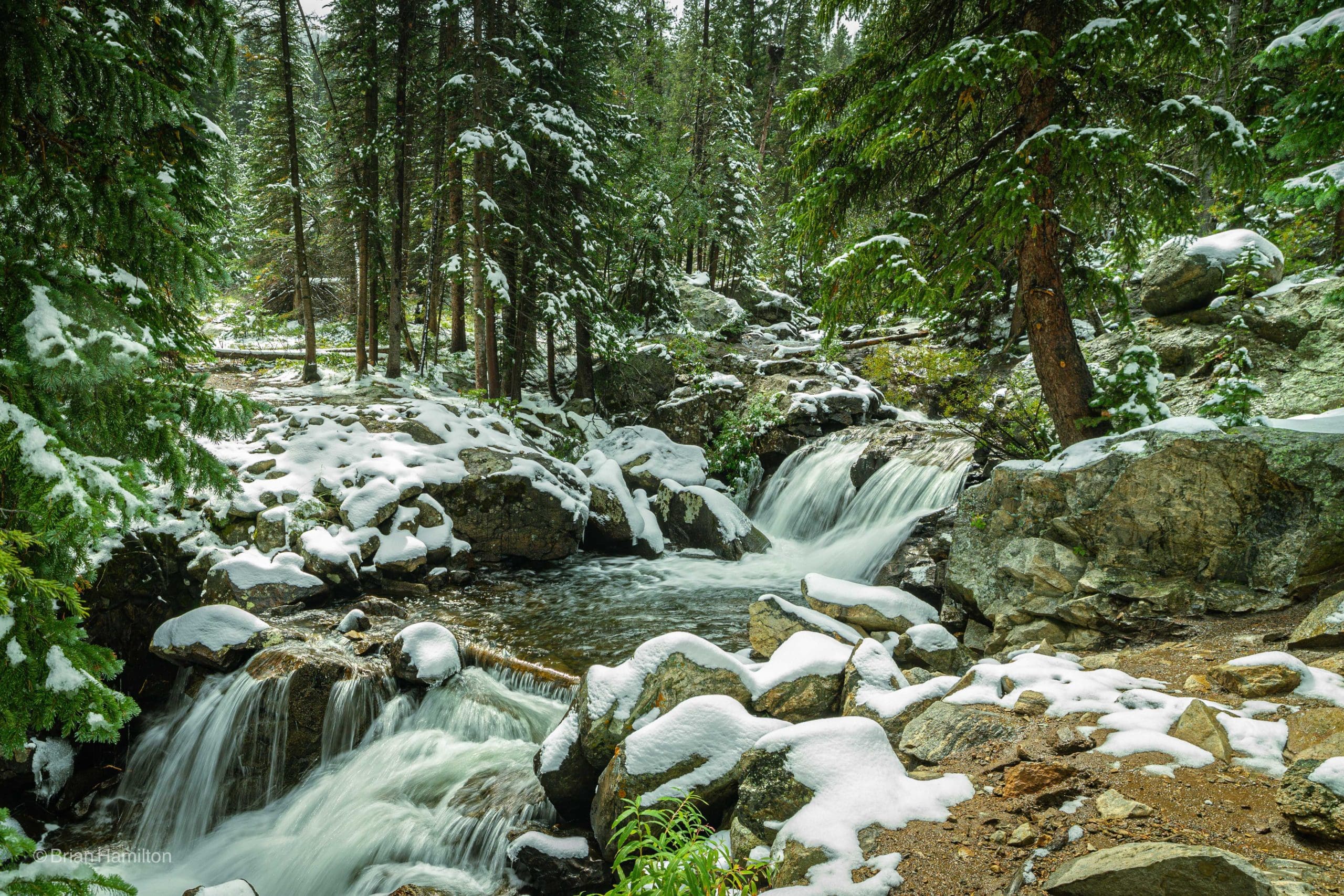
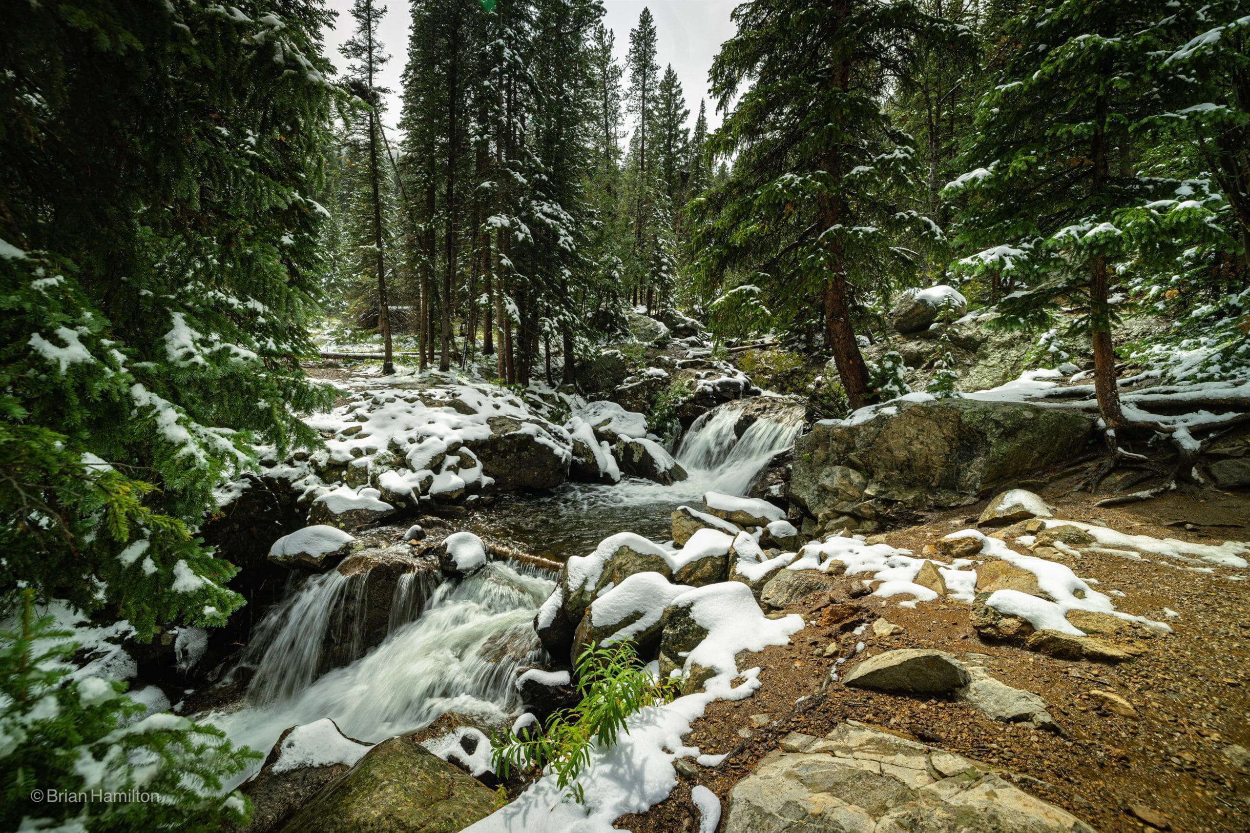
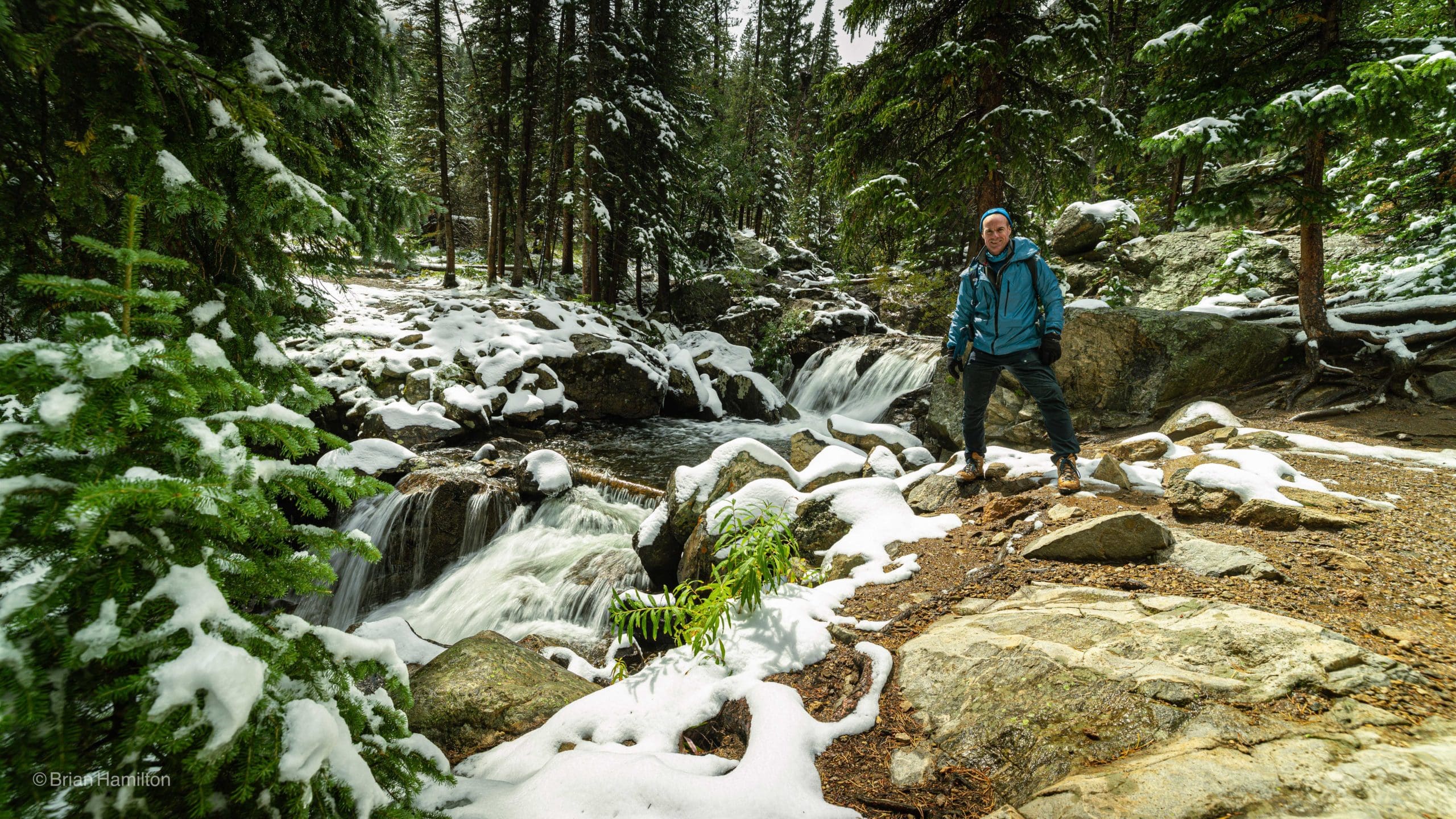
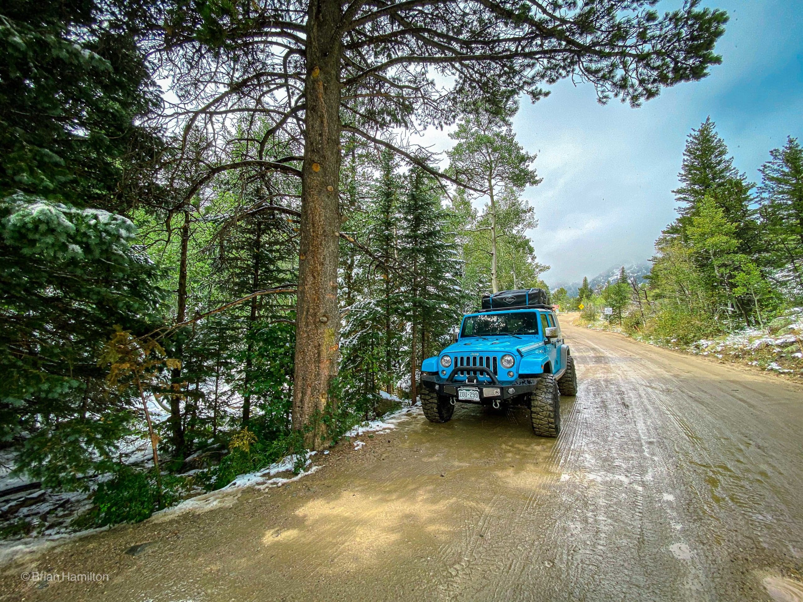
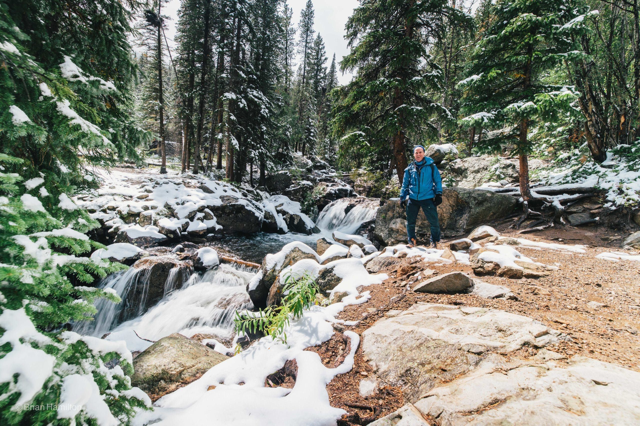
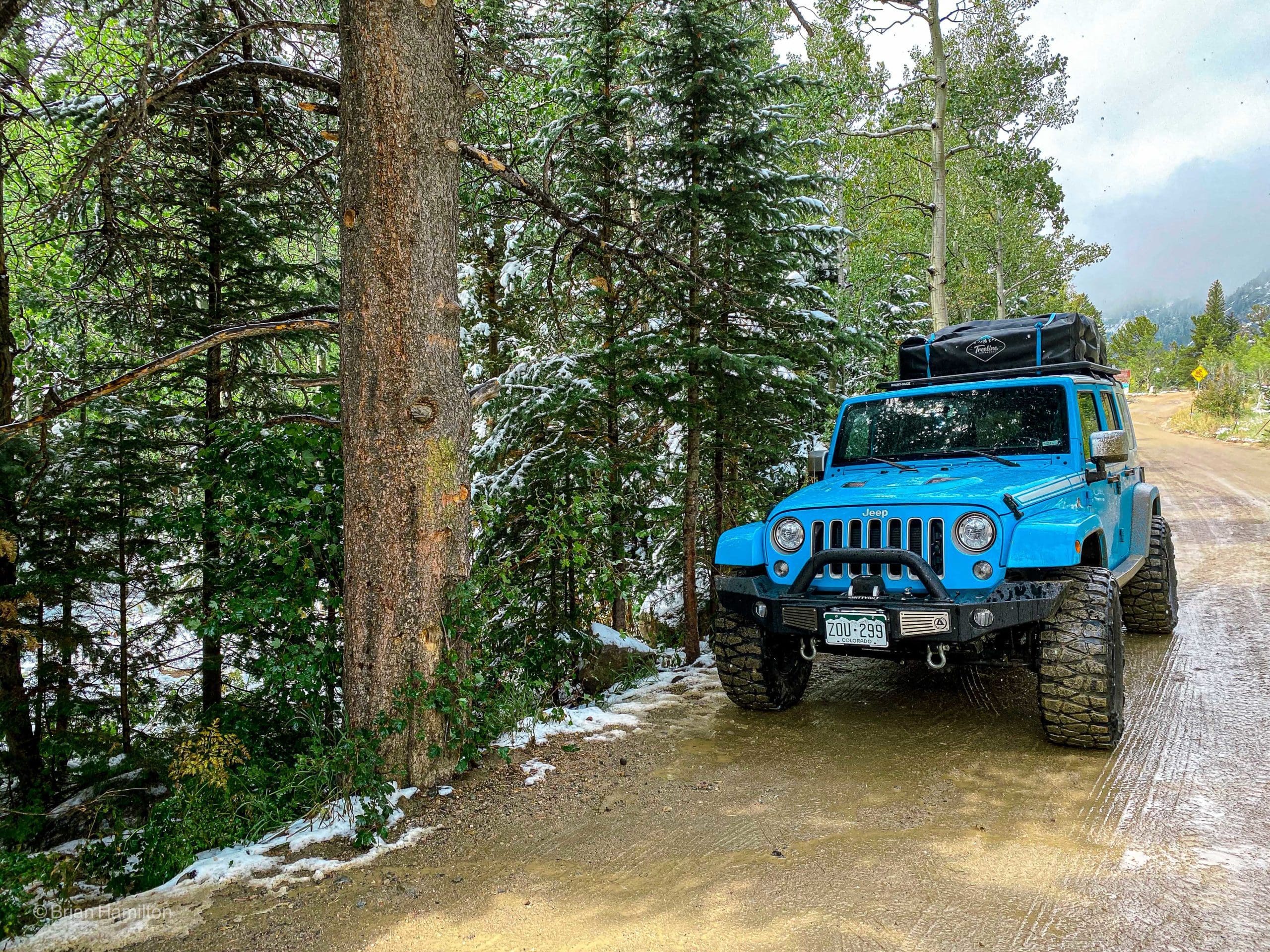
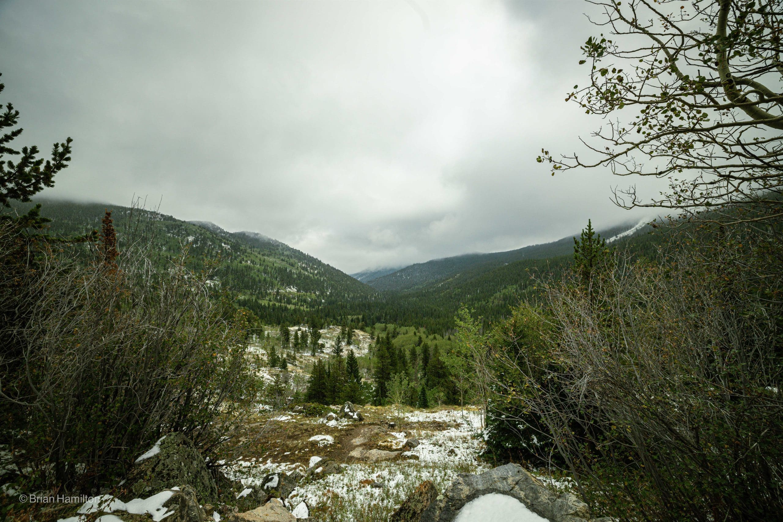
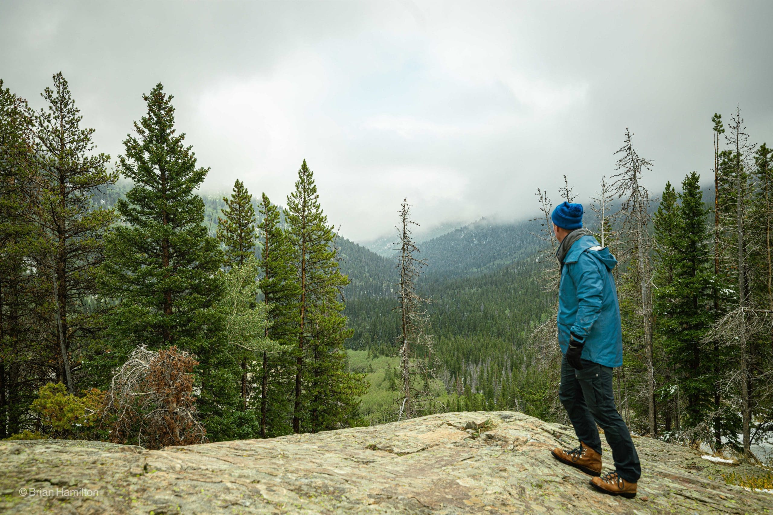
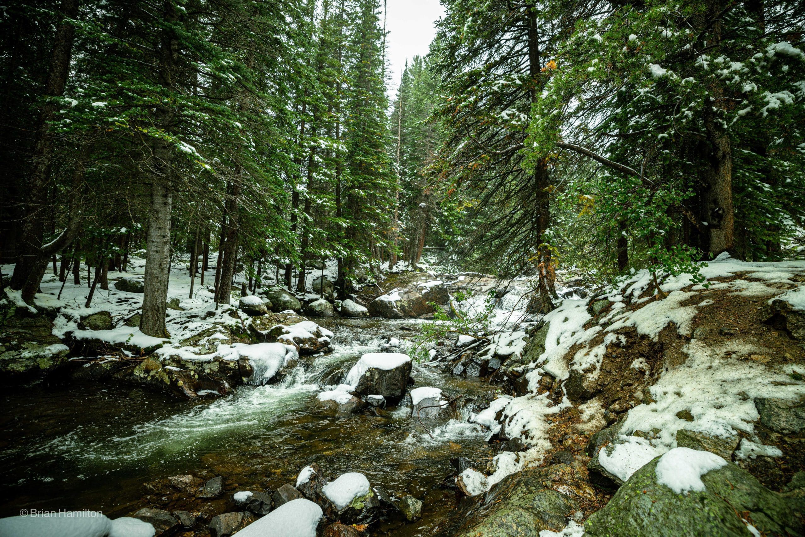
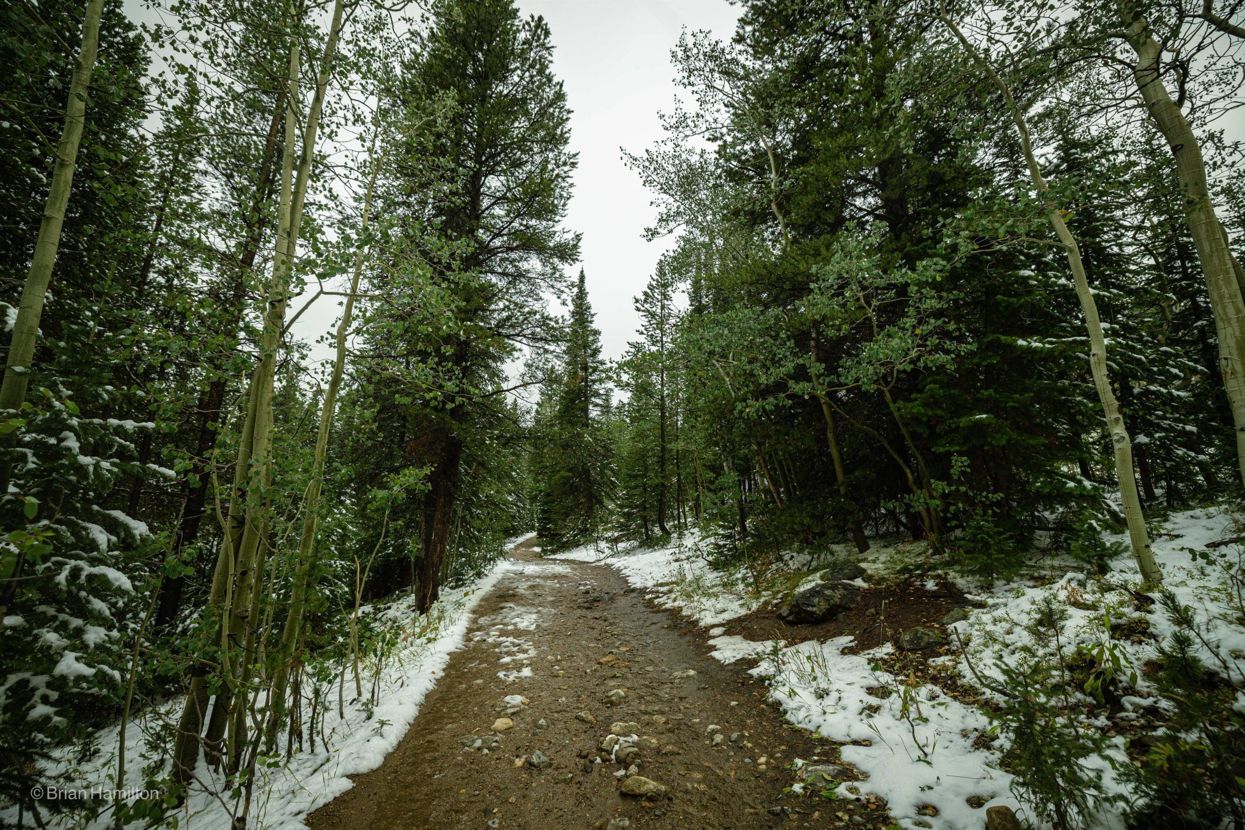
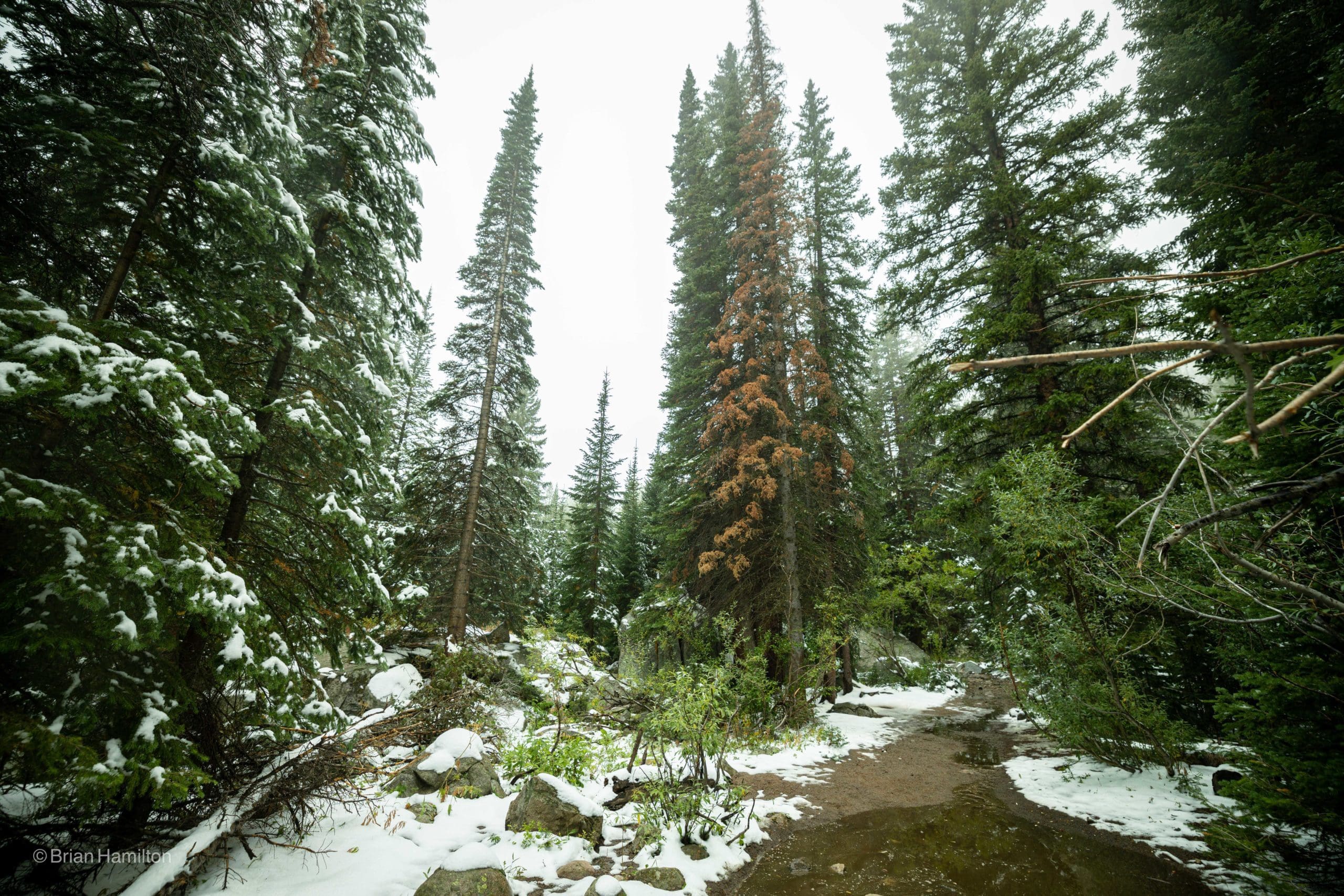
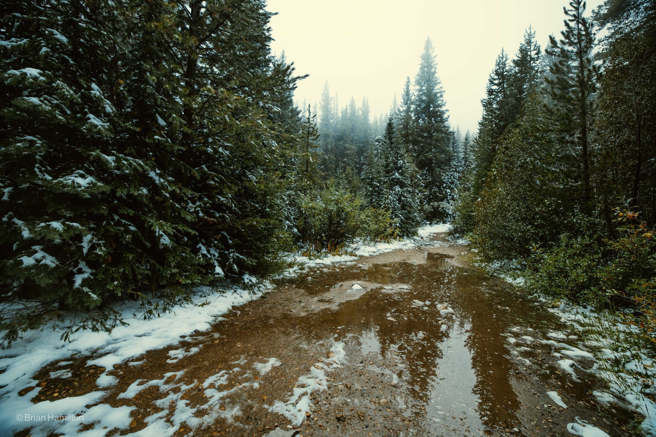
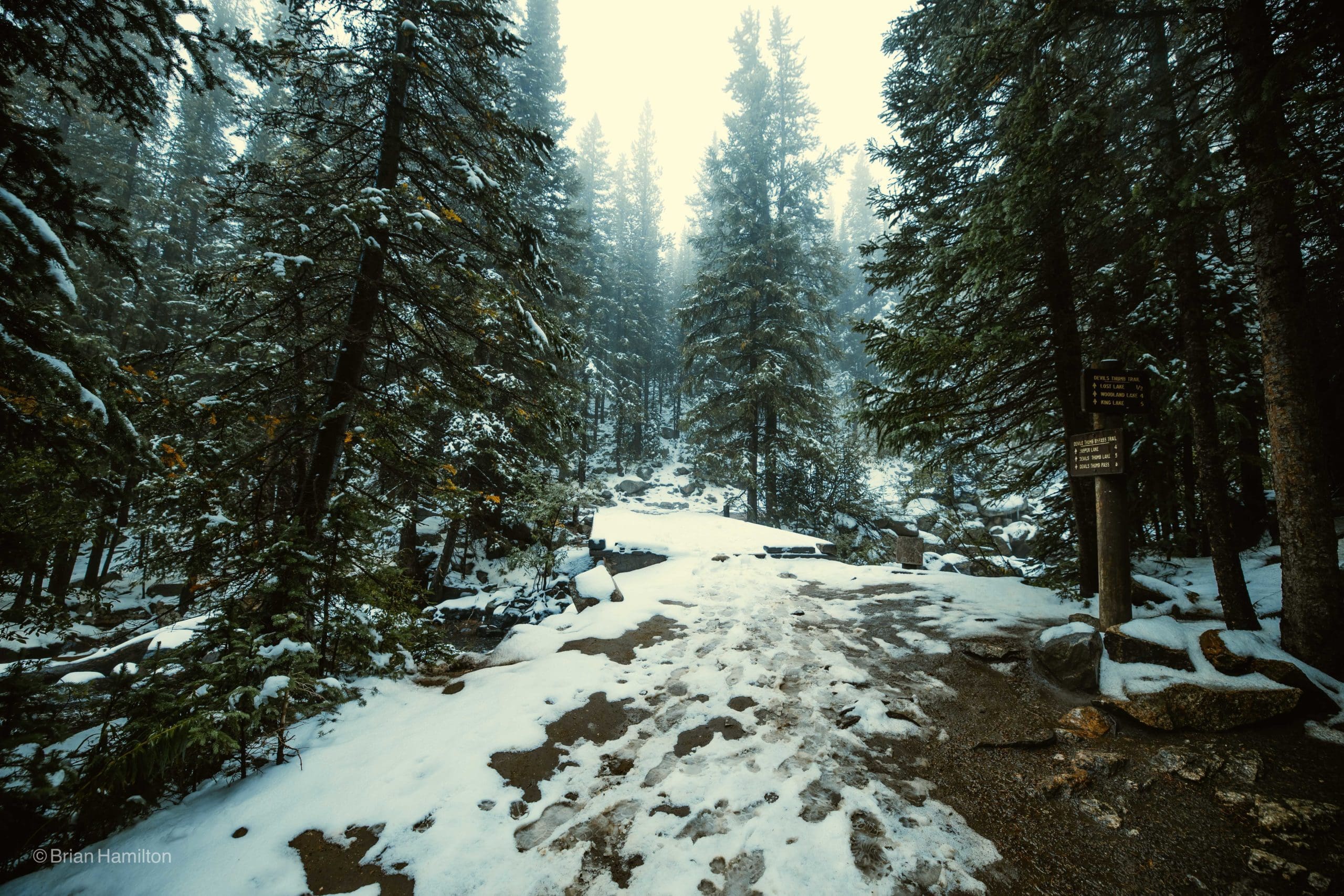
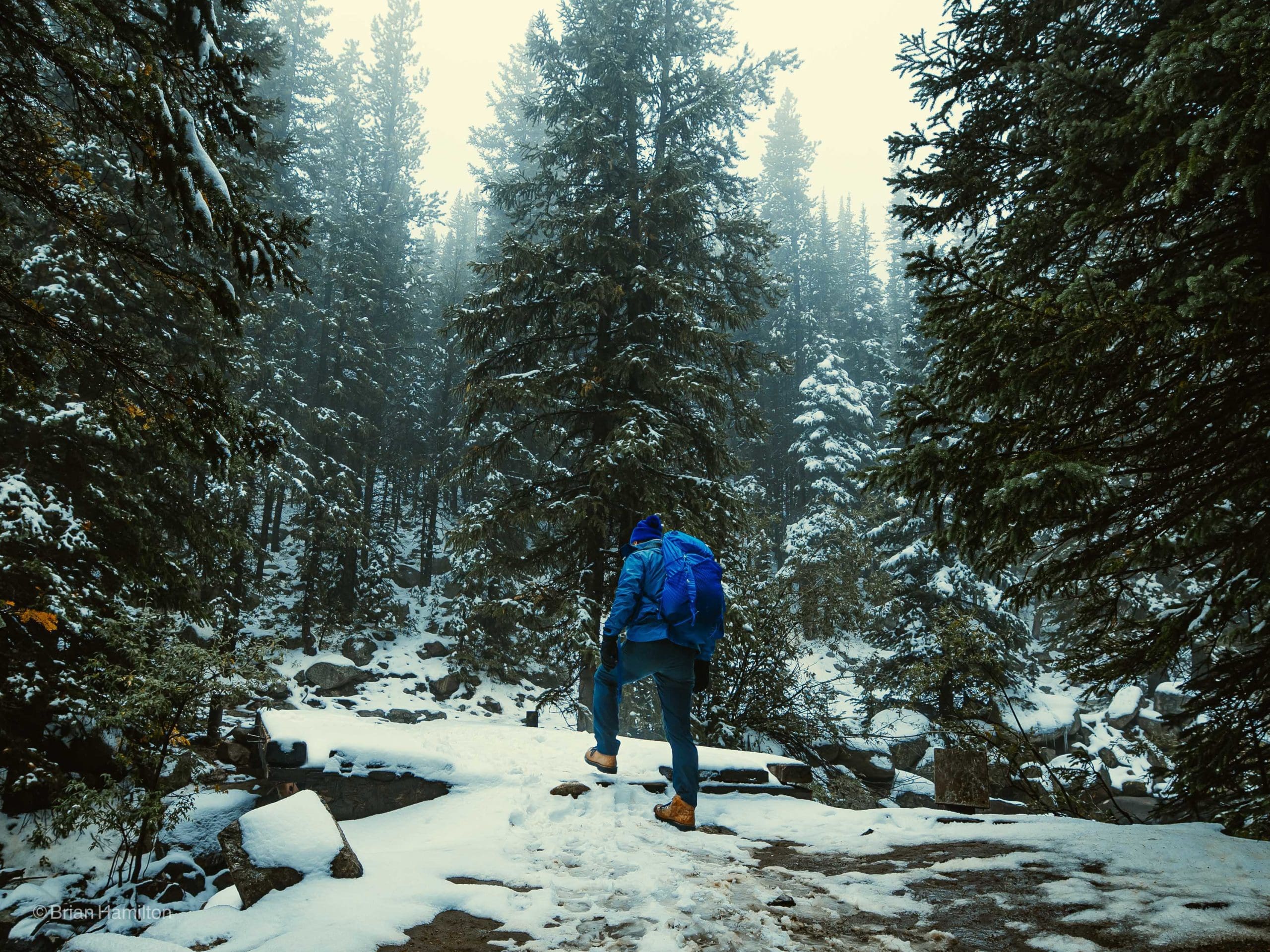
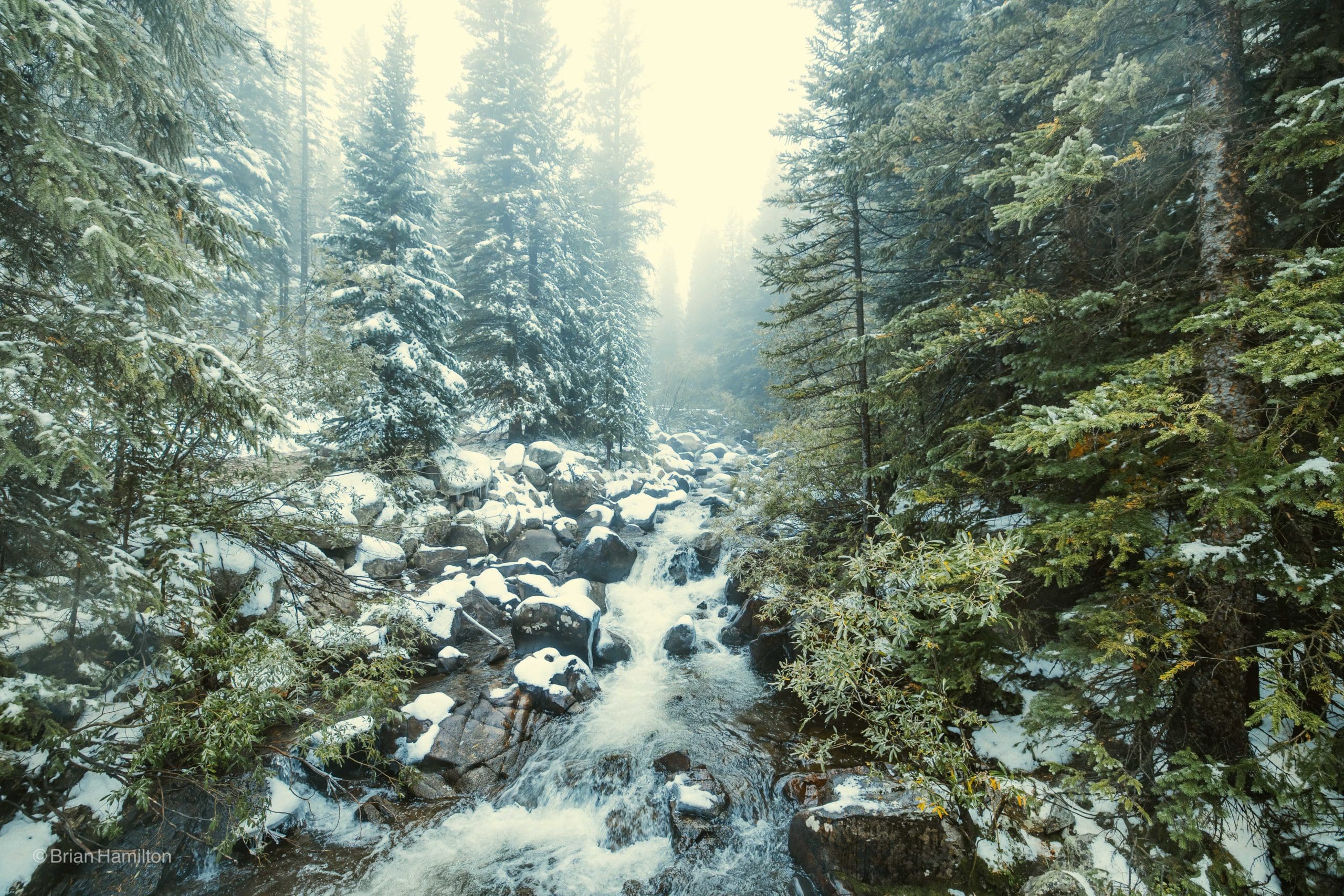
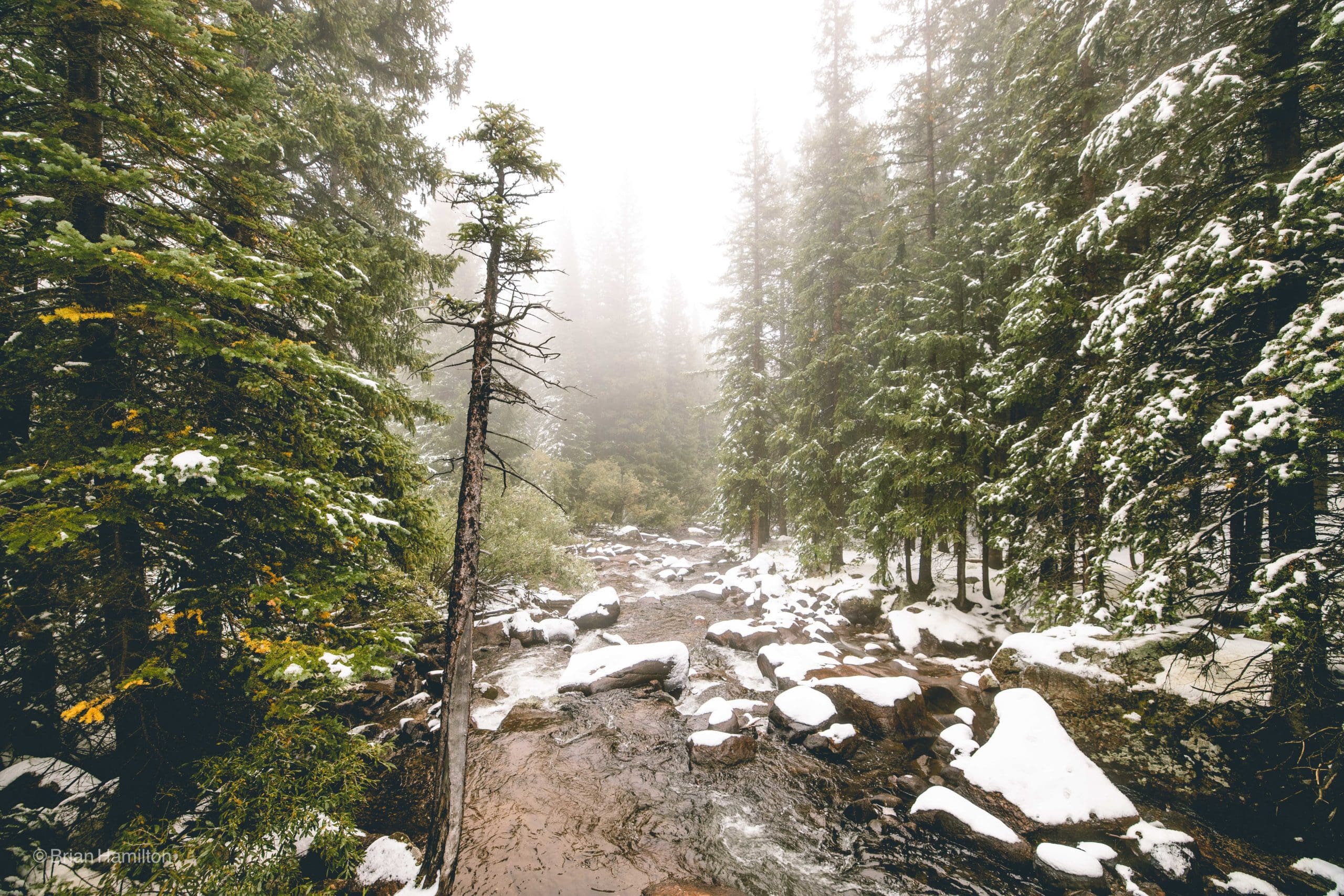
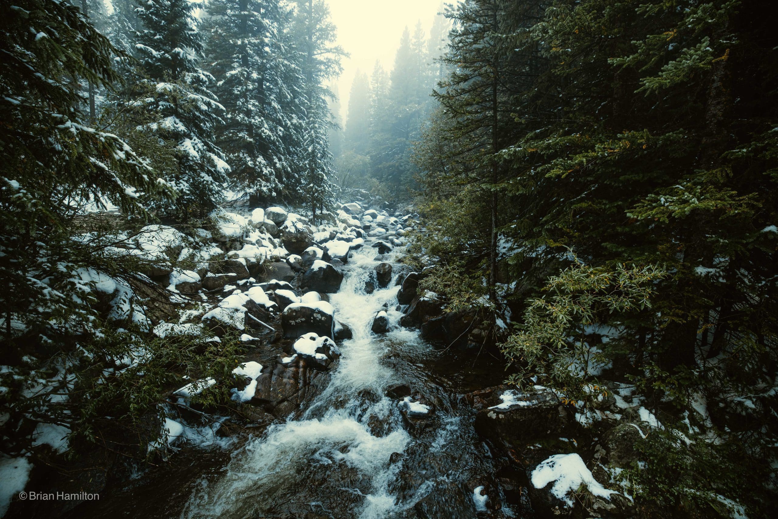
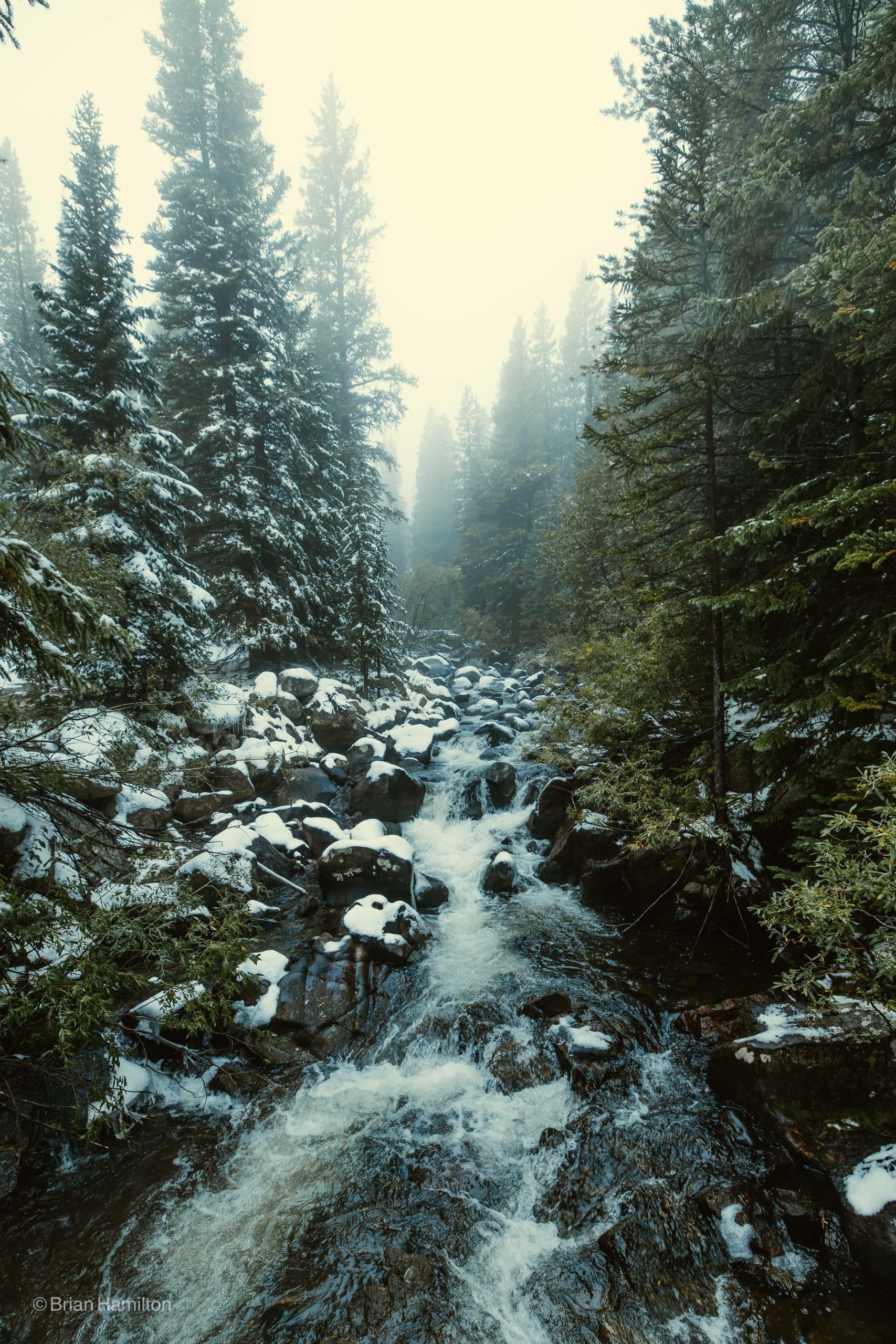
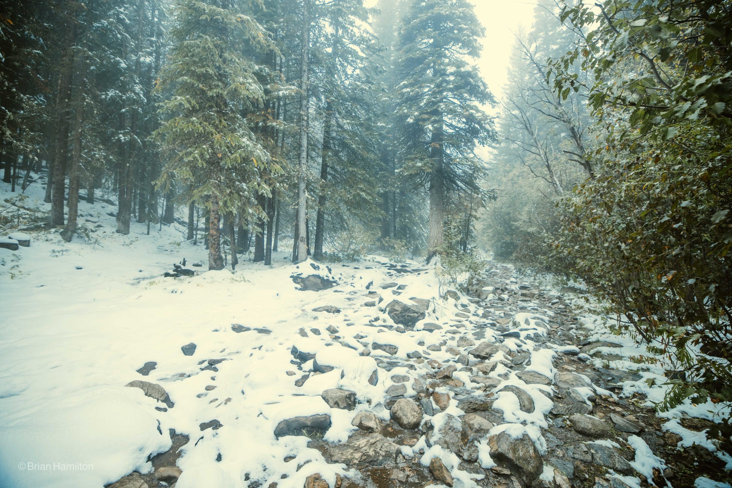
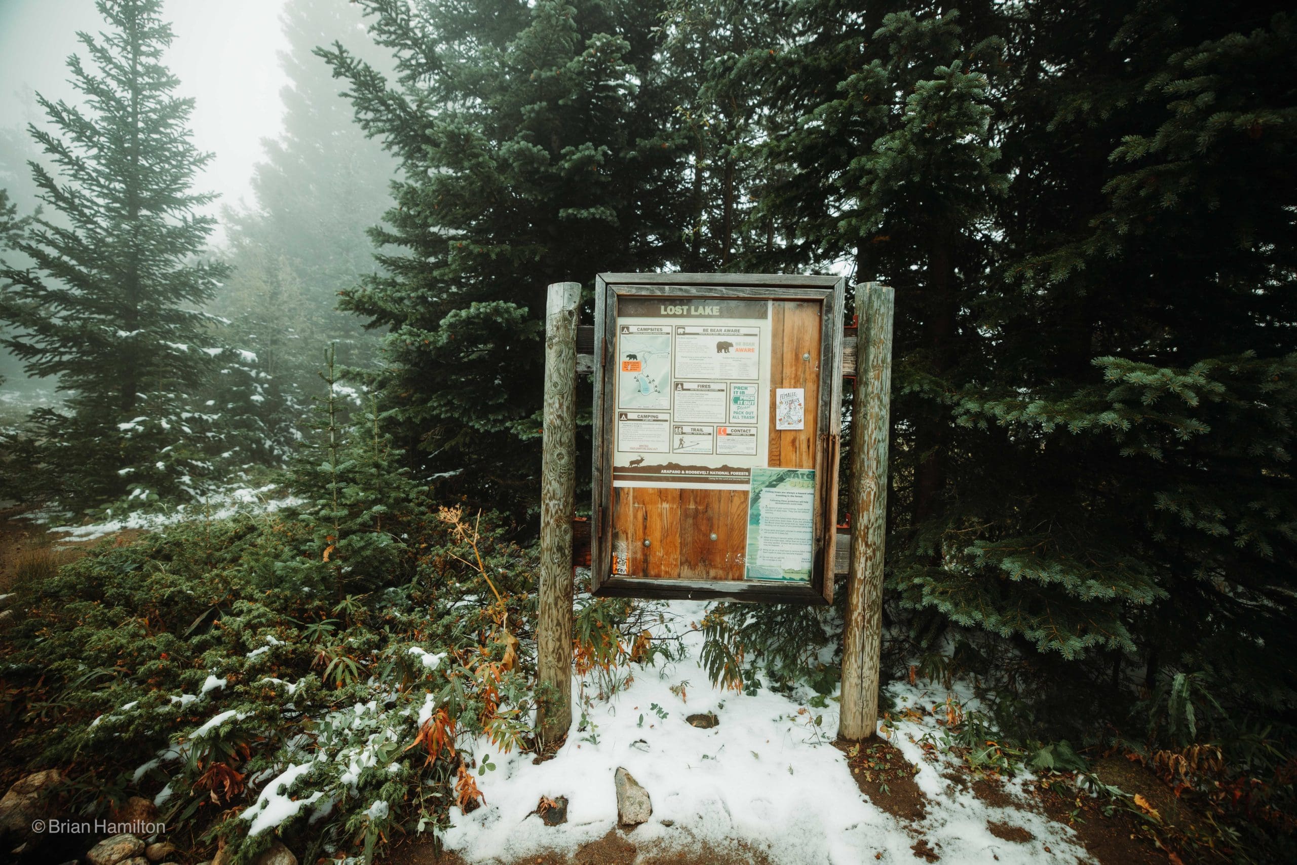
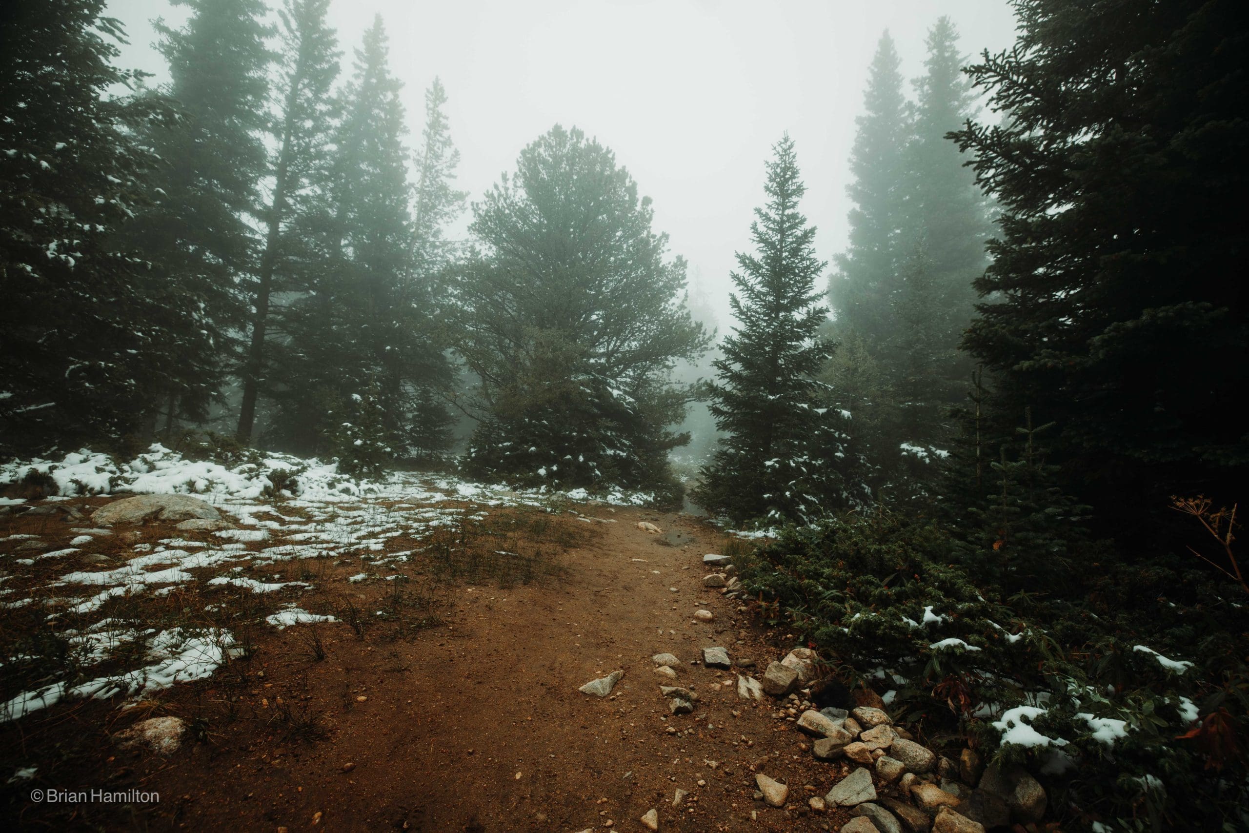
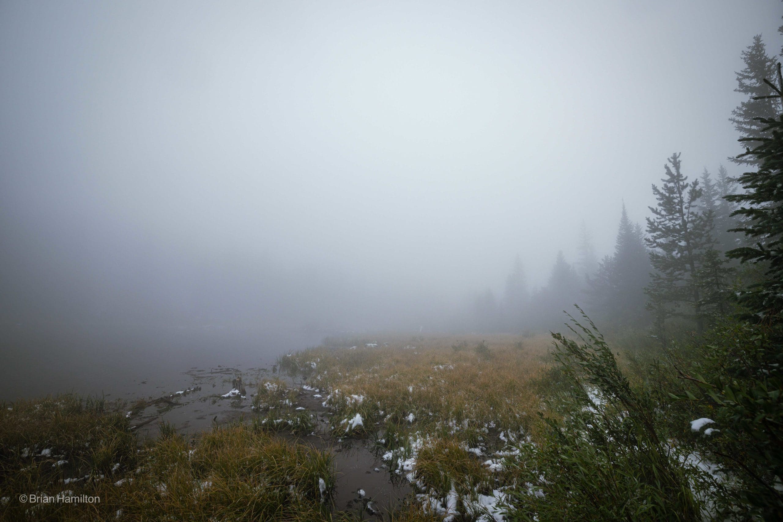
If you travel a short distance from Nederland, Colorado you can embark on a 4-mile hike to Lost Lake. This alpine lake is nestled in the mountains of Indian Peaks, with snow-capped peaks providing a stunning backdrop. As you trek along Middle Boulder Creek, you’ll see a magnificent waterfall, cascades and vibrant wildflowers that decorate the trail and meadows. If you’re feeling adventurous in the wintertime, Lost Lake is also a great spot for snowshoeing or cross-country skiing.
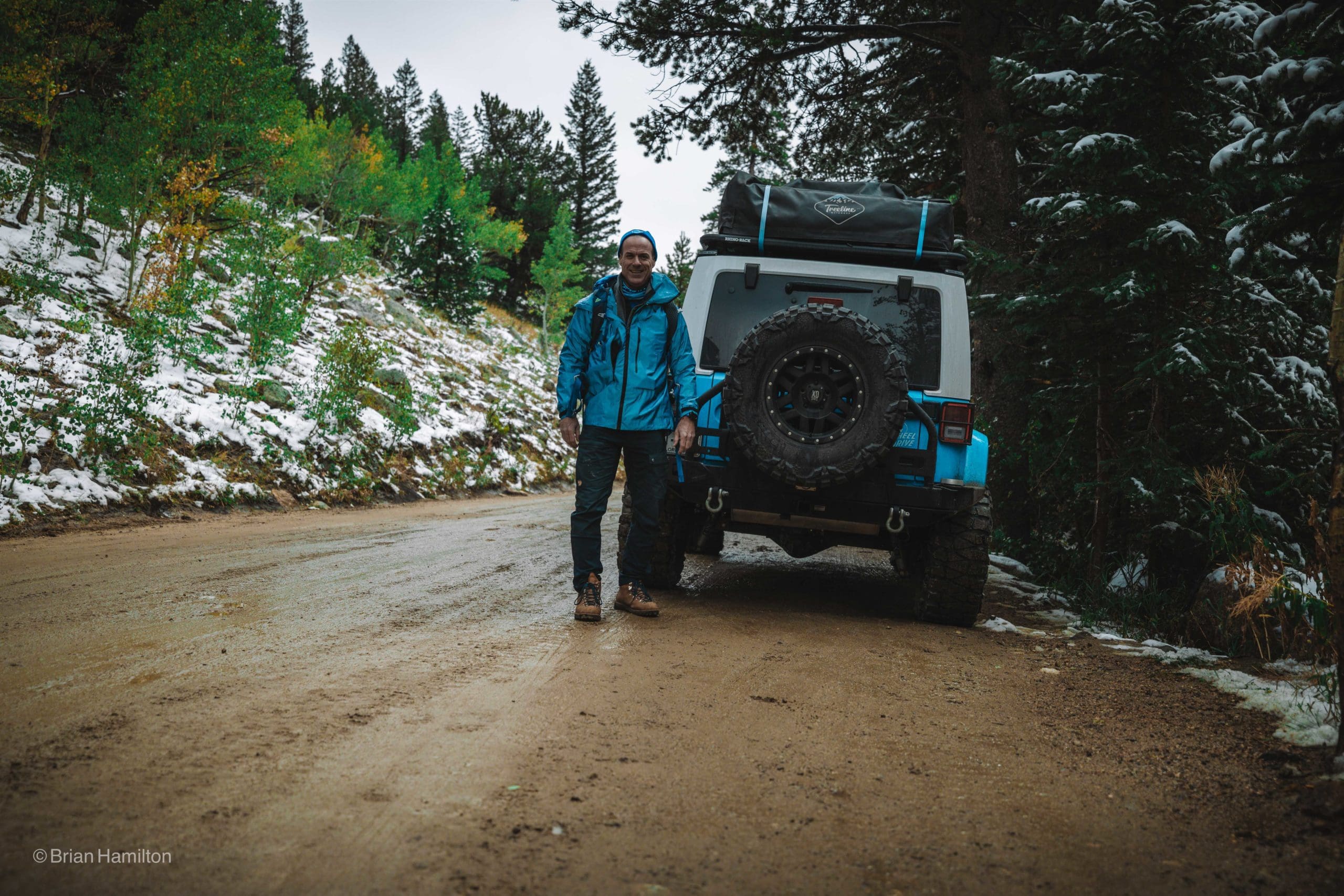
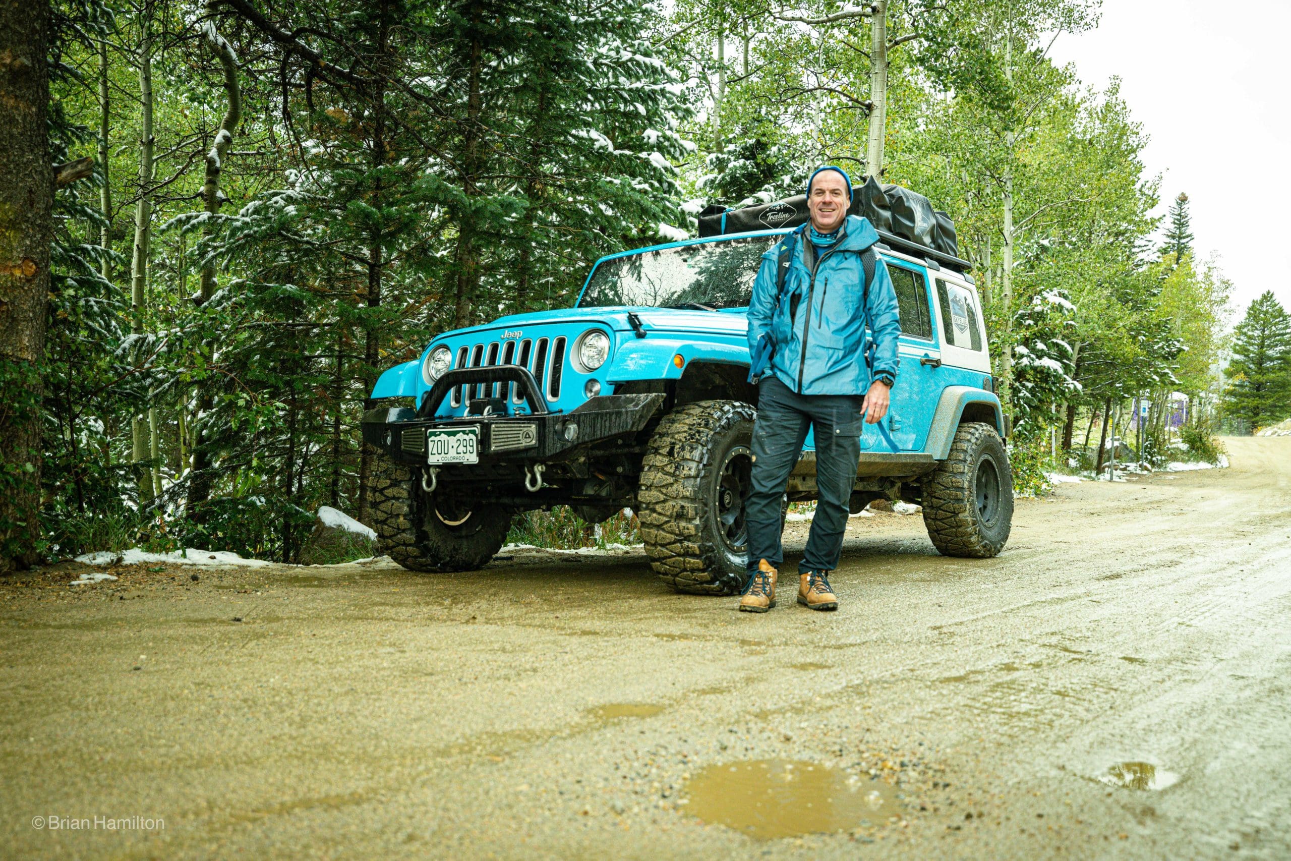
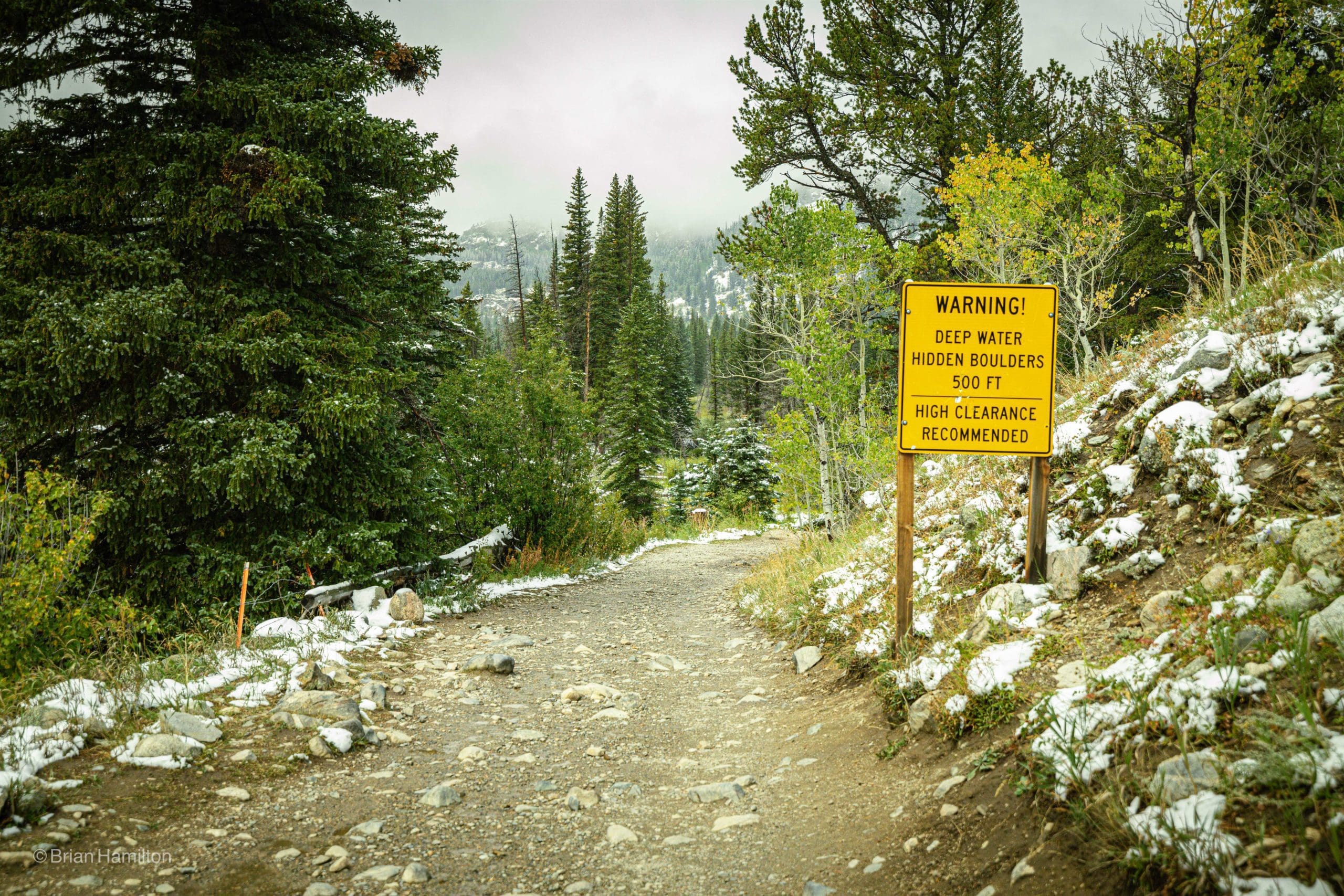
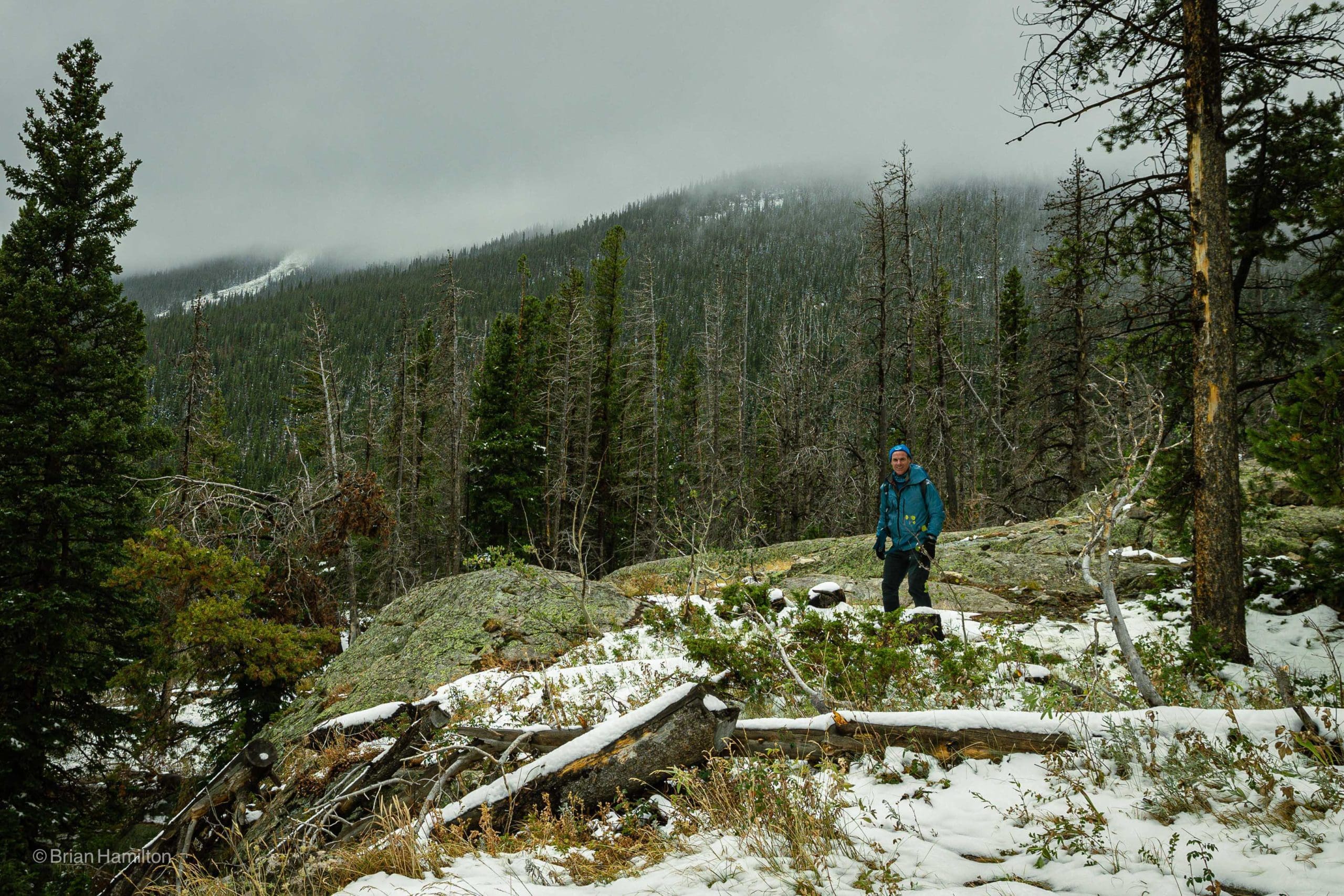
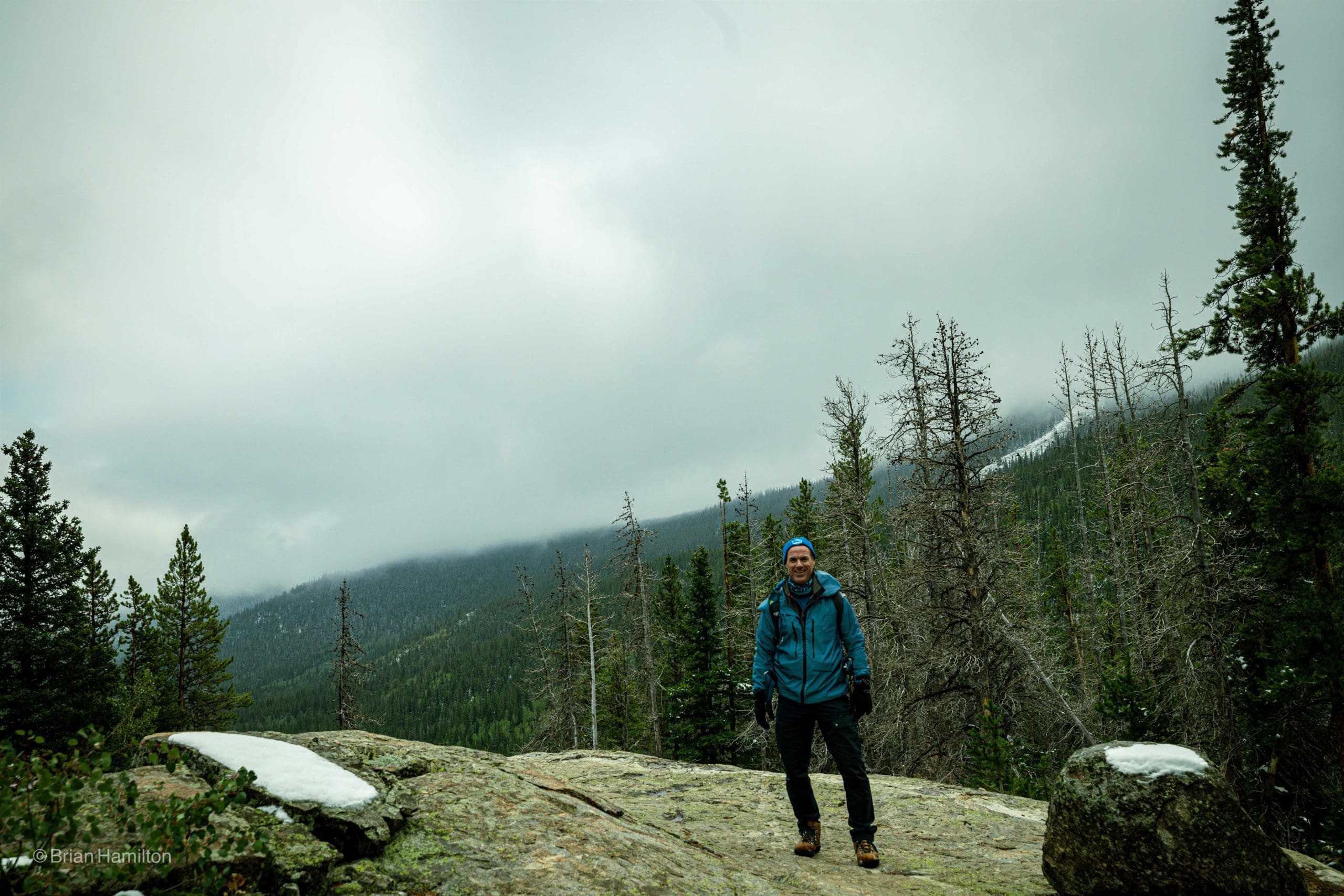
I went on this beautiful hike on September 10, 2020, just after a late summer snow storm. As I made this challenging climb on the snowy and icy trail, the fog started rolling in. I went back up for the hero image a few days later.