High Point:
14,066 feet
Total Ascent:
2,782 feet
Difficulty:
Hard
Distance:
7.5 miles
Waypoints:
N39 35.770, W105 42.609
Route Type:
Out and Back
Coming from the North: Use the Georgetown exit off of I-70. Travel through Georgetown and look for signs for the Guanella Pass Scenic Byway. Take the Scenic Byway and go 12 miles to the top of Guanella Pass. There are two parking lots that are paved and along the side of the road, so you can park there. The trail head is near the parking area on the east side of the road.
If you are coming from the south: Travel on US 285 West from Denver or East from Fairplay. You will enter the town of Grant. Once you make it to Grant turn north on the Guanella Pass Scenic Byway and go about 13 miles to Guanella Pass.
Mount Bierstadt Trail is without a doubt one of the busiest trails that allow you to ascend to a 14k + summit. Considered by man to be a relative “easy” trail to reach a summit but offers its own host of challenges for even the most seasoned hiker.
Be sure to bring layers. The elevation gain gives way to a lot of high winds and rapid changes in the weather. While I was there the wind was constant and steady sometimes reaching over 40 miles per hour. Going in the early fall I did not experience a lot of snow and ice, however that is not to say that this won’t change. The Rocky mountains can produce some of the most unpredictable weather patterns on earth and I would suggest being prepared for anything. Gloves, extra socks, windproof jackets as well as rain gear. Remember there is no such thing as bad weather, but there is such a thing as poor planning. The trail is a steady incline the entire way. I would highly suggest that you go at your own pace and I promise you will be happy with the end result.
There is a local organization in Colorado known as the Colorado Fourteeners Initiative (CFI) that have put in a lot of work and extra effort to ensure the trail is well maintained. This was done to support the increase in traffic of the years on this very popular trail. It was clear to me the effort put forth by them and I was happy to see what they had done for the hiking community at large.
I think this is a great trail for those looking to cut their teeth and become part of the 14ers club, climbing up to over 14,000 is a challenging and rewarding experience. This is only shared by those willing to undertake the elevation. I had my moments of leg and lung burning exertion but overall I found the trail to be a manageable experience.
“Bierstadt is a great mountain to start on if you are new to hiking fourteeners. It is still strenuous on beginner hikers but manageable if you pace yourself. I suggest doing a few weeks of training before you start.”


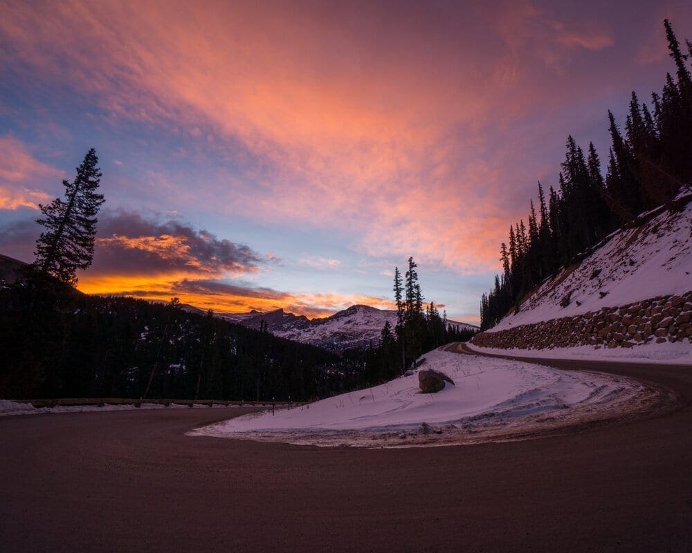
Guanella Pass Scenic Byway at sunrise.
Advertisement – More content below
Starting from the parking lot I was able to see why this was such a well trafficked trail, the views along the way are absolutely stunning. The trail has a steady incline the entire way and having the elevation gain dispersed along nearly four miles helps a little. There are quite a lot of switchbacks and rocky/unstable terrain to traverse. While dogs are allowed on the trail I would advise against this as the rocks and scrambling present will be difficult for most canines. It is important to note that the trail is located mostly within the Mount Evans wilderness areas and they have strict rules on party size, fires, and dogs.
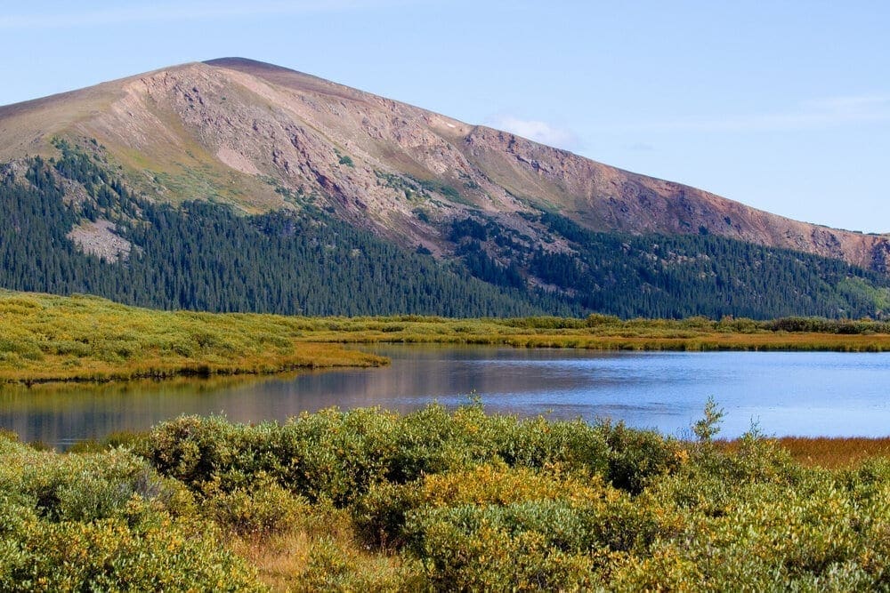
My first stop along the trail was a series of bridges that pass through a lot of willow growth that lasted for about a mile or so, this will lead me to a beautiful creek that is just at around 11,500 feet. As I crossed the creek and continued moving through the willows I started to approach the Western Slope of Mt. Bierstadt. Seeing the mountain in its full glory helps put the entire experience into perspective. I am climbing a mountain.
As I exited the willows, this is where the switchbacks start and continued until it starts to level off at around 12,300 along the north shoulder of the mountain. Those switchbacks were a real lung burner and I sure felt each step in my legs. The elevation starts to take its toll and honestly going over 10,000 feet in general is where the problems with the lack of oxygen begin. Be prepared for this workout and just know that eventually it starts to level off. Once it starts to level out I was able to see the remainder of the trail ahead and I passed an overlook at around 12,600 feet.
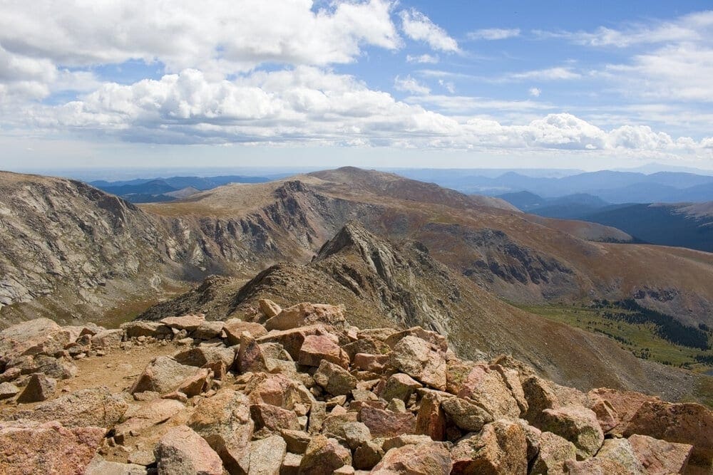
Continuing past around 13,000 the trail starts to increase in steepness significantly. I found the trail to be very obvious and followed it as the trail zigzagged up to a crest at around 13,750 feet. The final stretch of the trail I was unable to see the summit to spite it only being 250 feet higher than my current location. At this point the trail is gone and the crux of the summit begins. I worked my way through a series of boulders and when the pitch began to ease I had reached the summit. It was well worth the effort for some of the most expansive views from a tremendous height.
Going back down the trail to the parking area I found the steepness to present its own challenge. It can be harder on the knees going downhill so I would be prepared for that both mentally and physically. It would not be a bad idea to bring trekking poles and as always go at your own pace.
Advertisement


Featured Adventure Partner: GoPro
GoPro HERO 9 Has Arrived! Be The First To Own GoPro’s Newest Camera! HERO9 Black Bundle: $399.98 Includes 1-Year Subscription to GoPro or $499.99 Without Subscription! Shop Now!


